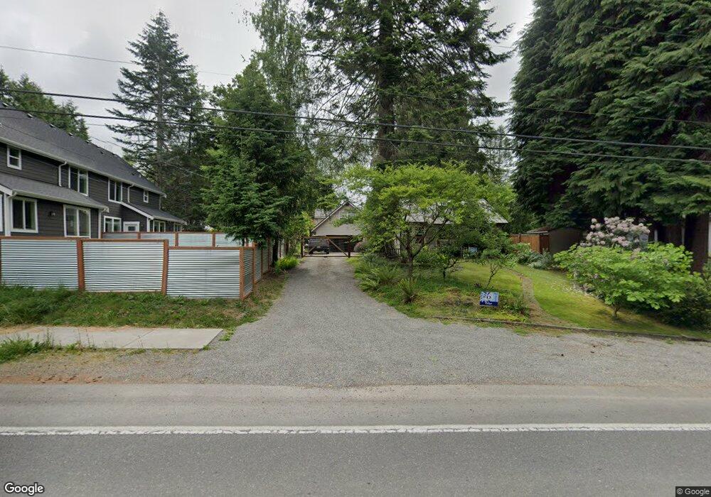
3204 Cain Rd SE Olympia, WA 98501
Cain Road NeighborhoodEstimated Value: $440,509 - $546,000
4
Beds
1
Bath
1,212
Sq Ft
$411/Sq Ft
Est. Value
About This Home
This home is located at 3204 Cain Rd SE, Olympia, WA 98501 and is currently estimated at $498,377, approximately $411 per square foot. 3204 Cain Rd SE is a home located in Thurston County with nearby schools including Pioneer Elementary School, Washington Middle School, and Olympia High School.
Ownership History
Date
Name
Owned For
Owner Type
Purchase Details
Closed on
Jan 8, 2019
Sold by
Cline Mary Beth and Cline Donald
Bought by
Goodwin Andrw Wayne and Goodwin Nicole Lynn
Current Estimated Value
Home Financials for this Owner
Home Financials are based on the most recent Mortgage that was taken out on this home.
Original Mortgage
$188,300
Outstanding Balance
$120,265
Interest Rate
4.6%
Mortgage Type
New Conventional
Estimated Equity
$378,112
Purchase Details
Closed on
Mar 23, 2009
Sold by
Goodwin Mary Beth
Bought by
Beth Mary and Cline Donald
Create a Home Valuation Report for This Property
The Home Valuation Report is an in-depth analysis detailing your home's value as well as a comparison with similar homes in the area
Home Values in the Area
Average Home Value in this Area
Purchase History
| Date | Buyer | Sale Price | Title Company |
|---|---|---|---|
| Goodwin Andrw Wayne | $296,244 | Thurston County Title Co | |
| Beth Mary | -- | None Available |
Source: Public Records
Mortgage History
| Date | Status | Borrower | Loan Amount |
|---|---|---|---|
| Open | Goodwin Andrw Wayne | $188,300 |
Source: Public Records
Tax History Compared to Growth
Tax History
| Year | Tax Paid | Tax Assessment Tax Assessment Total Assessment is a certain percentage of the fair market value that is determined by local assessors to be the total taxable value of land and additions on the property. | Land | Improvement |
|---|---|---|---|---|
| 2024 | $3,710 | $373,400 | $166,600 | $206,800 |
| 2023 | $3,710 | $354,400 | $142,800 | $211,600 |
| 2022 | $3,274 | $328,800 | $114,200 | $214,600 |
| 2021 | $3,219 | $273,700 | $96,500 | $177,200 |
| 2020 | $3,128 | $249,100 | $108,200 | $140,900 |
| 2019 | $2,799 | $236,100 | $92,200 | $143,900 |
| 2018 | $3,006 | $223,100 | $79,700 | $143,400 |
| 2017 | $2,512 | $200,800 | $74,000 | $126,800 |
| 2016 | $2,457 | $188,850 | $70,150 | $118,700 |
| 2014 | -- | $196,250 | $69,150 | $127,100 |
Source: Public Records
Map
Nearby Homes
- 3056 Edgewood Dr SE
- 2025 Eskridge Blvd SE
- 2802 Burnaby Park Loop SE
- 2534 Wedgewood Ct SE
- 2413 28th Ave SE
- 3715 Holiday Dr SE
- 2937 Lybarger St SE
- 3424 Wagon Wheel St SE
- 3820 Kingsbury Ln SE
- 2911 Stirling Ct SE
- 2915 Stirling Ct SE
- 3323 Amhurst St SE
- 3525 Humphrey St SE
- 4010 Henderson Blvd SE
- 3509 Hawthorne Place SE
- 0 xx Fairview St SE
- 3419 Bittersweet St SE
- 1720 Wilson St SE
- 1820 Chipman St SE Unit A&B
- 1910 van Epps St SE
- 3126 Cain Rd SE
- 3134 Cain Rd SE
- 3130 Cain Rd SE
- 3127 Eastland Cir SE
- 3121 Eastland Cir SE
- 2104 Vista Ave SE Unit 1
- 2104 Vista Ave SE
- 2035 Centerwood Dr SE
- 2120 Vista Ave SE
- 3216 Centerwood Ct SE
- 2038 Centerwood Dr SE
- 2107 Vista Ave SE
- 3122 Eastland Cir SE
- 3042 Cain Rd SE
- 2121 Vista Ave SE
- 2206 Vista Ave SE
- 3224 Centerwood Ct SE
- 2019 Centerwood Dr SE
- 3041 Cain Rd SE
- 3041 Cain Rd SE Unit 3041