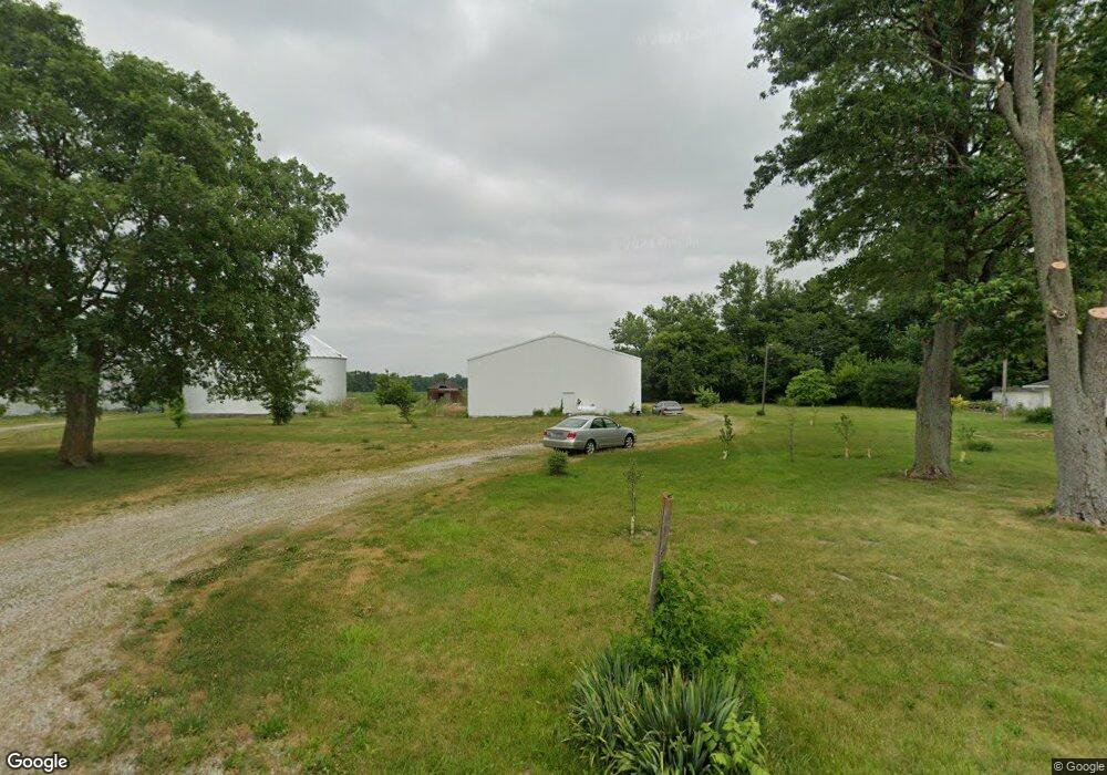
3204 E 600 S Lafayette, IN 47909
Estimated Value: $267,000 - $285,000
Studio
1
Bath
1,597
Sq Ft
$173/Sq Ft
Est. Value
About This Home
This home is located at 3204 E 600 S, Lafayette, IN 47909 and is currently estimated at $275,772, approximately $172 per square foot. 3204 E 600 S is a home located in Tippecanoe County with nearby schools including Woodland Elementary School, Wea Ridge Middle School, and McCutcheon High School.
Ownership History
Date
Name
Owned For
Owner Type
Purchase Details
Closed on
Aug 26, 2016
Sold by
Pfeifer Susan D
Bought by
Espinoza Adolfo Bugrin
Current Estimated Value
Home Financials for this Owner
Home Financials are based on the most recent Mortgage that was taken out on this home.
Original Mortgage
$132,554
Outstanding Balance
$109,053
Interest Rate
4.4%
Mortgage Type
FHA
Estimated Equity
$166,719
Purchase Details
Closed on
Jan 28, 2005
Sold by
Snellenbarger Brent and Snellenbarger Jean E
Bought by
Pfeifer Susan D
Home Financials for this Owner
Home Financials are based on the most recent Mortgage that was taken out on this home.
Original Mortgage
$93,500
Interest Rate
5.79%
Mortgage Type
Unknown
Purchase Details
Closed on
Jan 24, 2005
Sold by
Snellenbarger Rex I
Bought by
Snellenbarger Brent and Snellenbarger Jean E
Home Financials for this Owner
Home Financials are based on the most recent Mortgage that was taken out on this home.
Original Mortgage
$93,500
Interest Rate
5.79%
Mortgage Type
Unknown
Create a Home Valuation Report for This Property
The Home Valuation Report is an in-depth analysis detailing your home's value as well as a comparison with similar homes in the area
Purchase History
| Date | Buyer | Sale Price | Title Company |
|---|---|---|---|
| Espinoza Adolfo Bugrin | -- | Columbia Title | |
| Pfeifer Susan D | -- | -- | |
| Snellenbarger Brent | -- | -- |
Source: Public Records
Mortgage History
| Date | Status | Borrower | Loan Amount |
|---|---|---|---|
| Open | Espinoza Adolfo Bugrin | $132,554 | |
| Previous Owner | Pfeifer Susan D | $93,500 |
Source: Public Records
Tax History
| Year | Tax Paid | Tax Assessment Tax Assessment Total Assessment is a certain percentage of the fair market value that is determined by local assessors to be the total taxable value of land and additions on the property. | Land | Improvement |
|---|---|---|---|---|
| 2024 | $2,186 | $217,100 | $38,700 | $178,400 |
| 2023 | $1,994 | $199,400 | $38,700 | $160,700 |
| 2022 | $1,594 | $159,400 | $28,000 | $131,400 |
| 2021 | $1,518 | $151,800 | $28,000 | $123,800 |
| 2020 | $1,386 | $142,300 | $28,000 | $114,300 |
| 2019 | $1,264 | $134,800 | $28,000 | $106,800 |
| 2018 | $1,152 | $129,100 | $28,000 | $101,100 |
| 2017 | $1,197 | $131,000 | $28,000 | $103,000 |
| 2016 | $1,122 | $128,100 | $28,000 | $100,100 |
| 2014 | $1,005 | $123,200 | $28,000 | $95,200 |
| 2013 | $971 | $119,300 | $28,000 | $91,300 |
Source: Public Records
Map
Nearby Homes
- 3308 E 600 S
- 6062 Sandwood Ln S
- 3330 E 600 S
- 6070 Sandwood Ln S
- 3374 E 600 S
- 6078 Sandwood Ln S
- 3418 E 600 S
- 6068 Sandwood Ln S
- 6206 S 300 E
- 3425 E 600 S
- 6096 Sandwood Ln S
- 0 S 300 E
- 3535 E 600 S
- 3511 E 600 S
- 2679 E 600 S
- 6314 Forrest Grove Ln
- 2679 S 250 E
- 3710 E 600 S
- 6324 Forrest Grove Ln
- 6301 Forrest Grove Ln
Your Personal Tour Guide
Ask me questions while you tour the home.