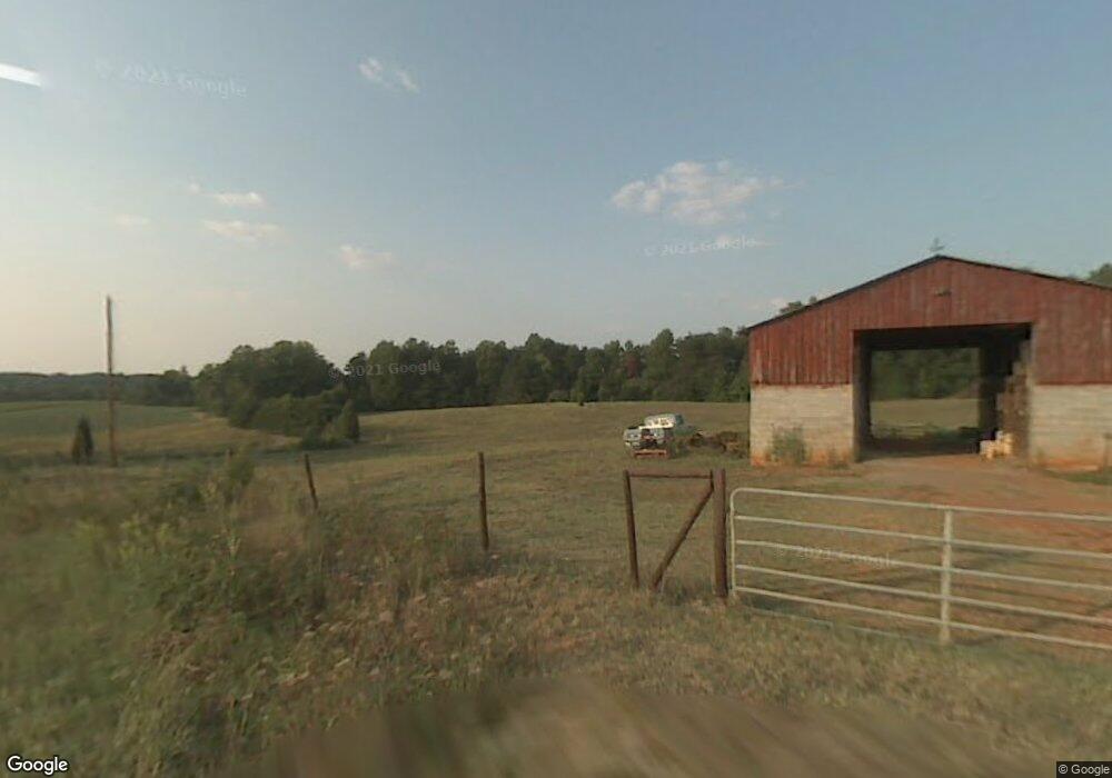
3205 Amos Watson Rd Walkertown, NC 27051
Estimated Value: $219,000 - $346,741
3
Beds
4
Baths
2,112
Sq Ft
$131/Sq Ft
Est. Value
About This Home
This home is located at 3205 Amos Watson Rd, Walkertown, NC 27051 and is currently estimated at $276,247, approximately $130 per square foot. 3205 Amos Watson Rd is a home located in Forsyth County with nearby schools including Walkertown Elementary School, Walkertown Middle, and Walkertown High School.
Ownership History
Date
Name
Owned For
Owner Type
Purchase Details
Closed on
Dec 27, 2023
Sold by
Amos Family Irrevocable Trust
Bought by
Amos Alma D
Current Estimated Value
Purchase Details
Closed on
Jun 23, 2022
Sold by
Levi Amos Stephen and Dills Ginger
Bought by
Amos Stephen Levi
Purchase Details
Closed on
May 31, 2017
Sold by
Dills Amos Stephen Levi and Dills Amos
Bought by
Dills Amos Stephen Levi and Dills Amos Ginger
Home Financials for this Owner
Home Financials are based on the most recent Mortgage that was taken out on this home.
Original Mortgage
$112,250
Interest Rate
3.97%
Mortgage Type
VA
Create a Home Valuation Report for This Property
The Home Valuation Report is an in-depth analysis detailing your home's value as well as a comparison with similar homes in the area
Home Values in the Area
Average Home Value in this Area
Purchase History
| Date | Buyer | Sale Price | Title Company |
|---|---|---|---|
| Amos Alma D | -- | None Listed On Document | |
| Amos Alma D | -- | None Listed On Document | |
| Amos Stephen Levi | -- | None Listed On Document | |
| Dills Amos Stephen Levi | -- | Title 365 |
Source: Public Records
Mortgage History
| Date | Status | Borrower | Loan Amount |
|---|---|---|---|
| Previous Owner | Dills Amos Stephen Levi | $112,250 |
Source: Public Records
Tax History Compared to Growth
Tax History
| Year | Tax Paid | Tax Assessment Tax Assessment Total Assessment is a certain percentage of the fair market value that is determined by local assessors to be the total taxable value of land and additions on the property. | Land | Improvement |
|---|---|---|---|---|
| 2025 | $1,699 | $297,600 | $142,900 | $154,700 |
| 2024 | $1,621 | $217,300 | $105,100 | $112,200 |
| 2023 | $1,621 | -- | -- | -- |
| 2022 | $959 | $167,700 | $73,000 | $94,700 |
| 2021 | $959 | $0 | $0 | $0 |
| 2020 | $842 | $144,000 | $56,200 | $87,800 |
| 2019 | $852 | $144,000 | $56,200 | $87,800 |
| 2018 | $1,191 | $144,000 | $56,200 | $87,800 |
| 2016 | $1,111 | $133,593 | $52,725 | $80,868 |
| 2015 | $1,104 | $133,593 | $52,725 | $80,868 |
| 2014 | $1,085 | $133,593 | $52,725 | $80,868 |
Source: Public Records
Map
Nearby Homes
- 5225 Belews Creek Rd
- 5305 Belews Creek Rd
- 6623 Aspen Forest Ln
- 5272 Esher Dr
- 5277 Esher Dr
- 0 Reidsville Rd
- Ellerbe Plan at Sullivans Reserve
- Southport Plan at Sullivans Reserve
- Greensboro Plan at Sullivans Reserve
- Jamestown Plan at Sullivans Reserve
- Freeport Plan at Sullivans Reserve
- Kendall Plan at Sullivans Reserve
- Asheville Plan at Sullivans Reserve
- Fairfield Plan at Sullivans Reserve
- Hanover Plan at Sullivans Reserve
- 5560 Sullivantown Rd
- 3698 Old 66 Cir
- 6630 Riverwood Rd
- 6590 Riverwood Rd
- 2722 Darrow Rd
- 3223 Amos Watson Rd
- 3228 Amos Watson Rd
- 3247 Amos Watson Rd
- 5335 Reidsville Rd
- 5333 Reidsville Rd
- 5345 Reidsville Rd
- 5327 Reidsville Rd
- 6480 Riverton Rd
- 6570 Riverton Rd
- 6560 Riverton Rd
- 6580 Riverton Rd
- 6470 Riverton Rd
- 5398 Reidsville Rd
- 5390 Reidsville Rd
- 5322 Reidsville Rd
- 5316 Reidsville Rd
- 5310 Reidsville Rd
- 6460 Riverton Rd
- 5321 Reidsville Rd
- 6656 Riverton Rd