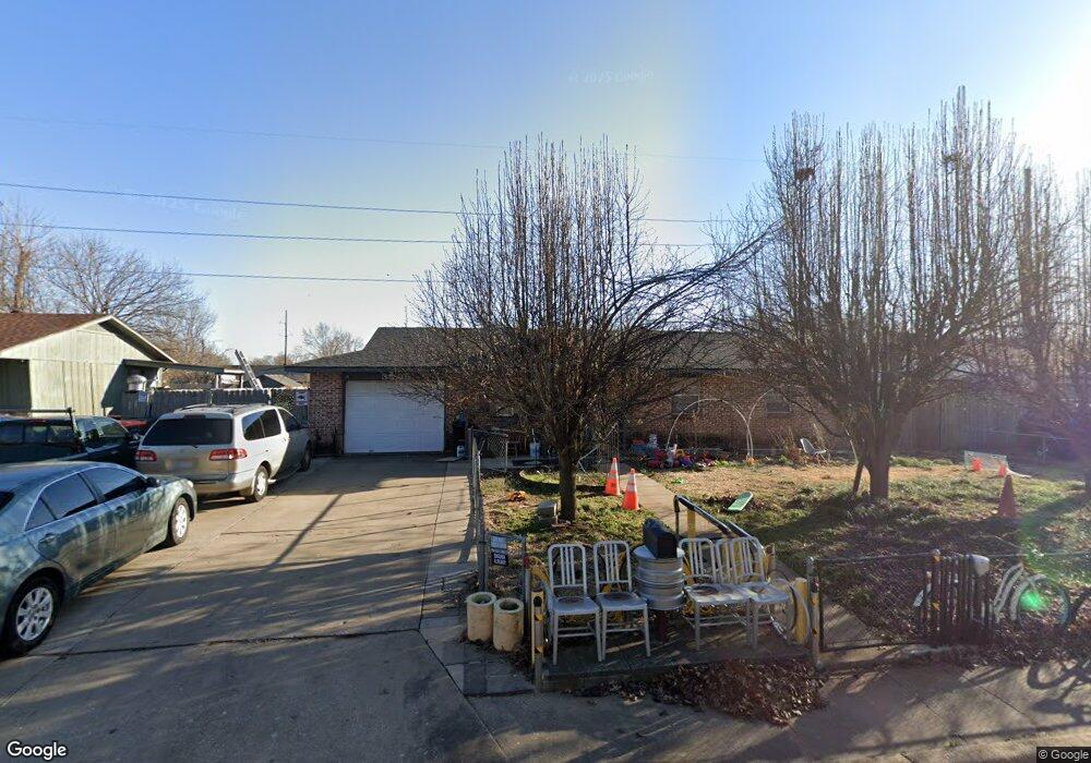
3205 Backus Ave Springdale, AR 72762
Estimated Value: $207,961 - $260,000
Studio
2
Baths
1,080
Sq Ft
$217/Sq Ft
Est. Value
About This Home
This home is located at 3205 Backus Ave, Springdale, AR 72762 and is currently estimated at $233,990, approximately $216 per square foot. 3205 Backus Ave is a home located in Washington County with nearby schools including Thurman G. Smith Elementary School, Central Junior High School, and Hellstern Middle School.
Ownership History
Date
Name
Owned For
Owner Type
Purchase Details
Closed on
Apr 13, 2007
Sold by
Woods Patrick Eugene and Woods Lisa R
Bought by
Rodriguez Angel and Rodriguez Evangelina
Current Estimated Value
Home Financials for this Owner
Home Financials are based on the most recent Mortgage that was taken out on this home.
Original Mortgage
$113,715
Outstanding Balance
$68,566
Interest Rate
6.19%
Mortgage Type
FHA
Estimated Equity
$165,424
Purchase Details
Closed on
Mar 19, 1994
Bought by
Woods Patrick Eugene and Woods Lisa R
Purchase Details
Closed on
Nov 29, 1989
Bought by
Jones Willie Dale and Donna Jean
Purchase Details
Closed on
Feb 3, 1987
Bought by
Doyle Donald Duane
Purchase Details
Closed on
Jan 1, 1985
Bought by
Grigg Kenneth R
Create a Home Valuation Report for This Property
The Home Valuation Report is an in-depth analysis detailing your home's value as well as a comparison with similar homes in the area
Purchase History
| Date | Buyer | Sale Price | Title Company |
|---|---|---|---|
| Rodriguez Angel | $116,000 | Waco Title Company | |
| Woods Patrick Eugene | $55,000 | -- | |
| Jones Willie Dale | -- | -- | |
| Doyle Donald Duane | $35,000 | -- | |
| Grigg Kenneth R | -- | -- |
Source: Public Records
Mortgage History
| Date | Status | Borrower | Loan Amount |
|---|---|---|---|
| Open | Rodriguez Angel | $113,715 |
Source: Public Records
Tax History
| Year | Tax Paid | Tax Assessment Tax Assessment Total Assessment is a certain percentage of the fair market value that is determined by local assessors to be the total taxable value of land and additions on the property. | Land | Improvement |
|---|---|---|---|---|
| 2025 | $271 | $38,460 | $13,300 | $25,160 |
| 2024 | $371 | $38,460 | $13,300 | $25,160 |
| 2023 | $462 | $38,460 | $13,300 | $25,160 |
| 2022 | $512 | $27,350 | $6,000 | $21,350 |
| 2021 | $512 | $27,350 | $6,000 | $21,350 |
| 2020 | $512 | $27,350 | $6,000 | $21,350 |
| 2019 | $512 | $16,840 | $5,400 | $11,440 |
| 2018 | $537 | $16,840 | $5,400 | $11,440 |
| 2017 | $529 | $16,840 | $5,400 | $11,440 |
| 2016 | $529 | $16,840 | $5,400 | $11,440 |
| 2015 | $524 | $16,840 | $5,400 | $11,440 |
| 2014 | $482 | $15,940 | $4,500 | $11,440 |
Source: Public Records
Map
Nearby Homes
- 1004 Daline St
- 1101 Karena St
- 1107 White Rd
- 3604 Harvo Cir
- 805 Andy St
- 1491 Seneca St
- 3208 Martin Dr
- 1309 Jennifer St
- 1826 Amelia Ln
- 605 Betty St
- 659 Westbury St
- 4077 Glenstone Terrace Unit E
- 2801 Hyatt Ave
- 3301 Martin Dr
- 548 Westford St
- 5498 Little Field Ave
- 524 Westford St
- 803 N Gutensohn Rd
- TBD W Huntsville Ave
- 718 N 40th St
- 3207 Backus Ave
- 3203 Backus Ave
- 3202 Scott Ln
- 3202 W Scott Ln A & B
- 3204 Scott Ln
- 1301 Daline St
- 1300 Joye St
- 3200 Scott Ln
- 3107 Backus Ave
- 3301 Backus Ave
- 1303 Daline St
- 1302 Joye St
- 3300 Scott Ln
- 1300 Daline St
- 3104 Scott Ln
- 3303 Backus Ave
- 3105 Backus Ave
- 1301 Joye St
- 1109 Daline St
- 1305 Daline St
Your Personal Tour Guide
Ask me questions while you tour the home.