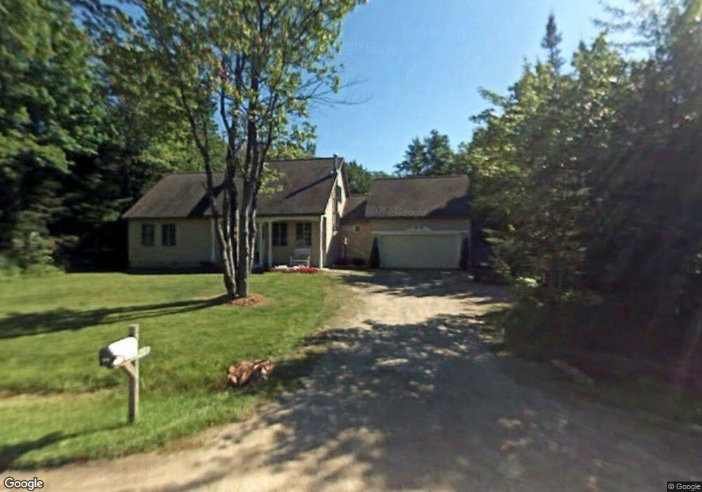
3205 South Dr Sault Sainte Marie, MI 49783
Estimated Value: $303,211 - $433,000
3
Beds
3
Baths
1,960
Sq Ft
$187/Sq Ft
Est. Value
About This Home
This home is located at 3205 South Dr, Sault Sainte Marie, MI 49783 and is currently estimated at $366,553, approximately $187 per square foot. 3205 South Dr is a home located in Chippewa County with nearby schools including Washington Elementary School, Sault Area Middle School, and Sault Area High School.
Ownership History
Date
Name
Owned For
Owner Type
Purchase Details
Closed on
Apr 1, 2005
Bought by
Pace William E and Pace Stacey A
Current Estimated Value
Home Financials for this Owner
Home Financials are based on the most recent Mortgage that was taken out on this home.
Original Mortgage
$145,700
Interest Rate
5.88%
Mortgage Type
Purchase Money Mortgage
Purchase Details
Closed on
Mar 18, 2005
Sold by
Christopher A Christopher A and Bishop Amy
Bought by
Cendant Mobility Gvt Financial Serv Corp
Home Financials for this Owner
Home Financials are based on the most recent Mortgage that was taken out on this home.
Original Mortgage
$145,700
Interest Rate
5.88%
Mortgage Type
Purchase Money Mortgage
Create a Home Valuation Report for This Property
The Home Valuation Report is an in-depth analysis detailing your home's value as well as a comparison with similar homes in the area
Home Values in the Area
Average Home Value in this Area
Purchase History
| Date | Buyer | Sale Price | Title Company |
|---|---|---|---|
| Pace William E | $153,400 | -- | |
| Cendant Mobility Gvt Financial Serv Corp | $162,500 | -- |
Source: Public Records
Mortgage History
| Date | Status | Borrower | Loan Amount |
|---|---|---|---|
| Previous Owner | Pace William E | $145,700 |
Source: Public Records
Tax History Compared to Growth
Tax History
| Year | Tax Paid | Tax Assessment Tax Assessment Total Assessment is a certain percentage of the fair market value that is determined by local assessors to be the total taxable value of land and additions on the property. | Land | Improvement |
|---|---|---|---|---|
| 2025 | $5,716 | $141,300 | $0 | $0 |
| 2024 | $3,429 | $139,000 | $0 | $0 |
| 2023 | $3,571 | $115,100 | $0 | $0 |
| 2022 | $3,571 | $101,100 | $0 | $0 |
| 2021 | $3,416 | $92,200 | $0 | $0 |
| 2020 | $3,353 | $81,800 | $0 | $0 |
| 2019 | $3,287 | $74,900 | $0 | $0 |
| 2018 | $3,756 | $85,900 | $0 | $0 |
| 2017 | $3,091 | $91,400 | $0 | $0 |
| 2016 | $3,054 | $91,100 | $0 | $0 |
| 2011 | $3,002 | $84,900 | $0 | $0 |
Source: Public Records
Map
Nearby Homes
- 00 W 16th Ave
- 3220 Sherman Park Dr
- 3325 Lakeshore Dr
- 3349 Lakeshore Dr
- 3105 Sherman Park Dr
- 3344 Lakeshore Dr
- 3468 Lakeshore Dr Unit 3468
- 3468 Lakeshore Dr
- 3580 Bermuda Ave
- 3715 Bermuda Ave
- 2245 W 5th Ave
- 0000 W 11th Ave
- 0000 W 11th Ave
- 1811 Chestnut St
- 2550 W 14th St
- 1427 W 14th St
- 1605 S Mulligan Row
- 1605 S Mulligan Row Unit 1605
- 3601 S Radar Rd
- 3205 South Dr
- 404 Central Ave
- 324 Central Ave
- 408 Central Ave
- 200' x 200 W 16th Ave
- 325 Central Ave
- 316 Central Ave
- 0 W 16th Ave Unit 24-1007
- 0 W 16th Ave Unit 24-188
- 0 W 16th Ave Unit 17-1364
- 0 W 16th Ave Unit 22-942
- 0 W 16th Ave Unit 19-801
- 0 W 16th Ave
- 321 Central Ave
- 312 Central Ave
- 3221 South Dr
- 3221 South Dr
- 344 East Ave
- 308 Central Ave
- 0000 Central Ave