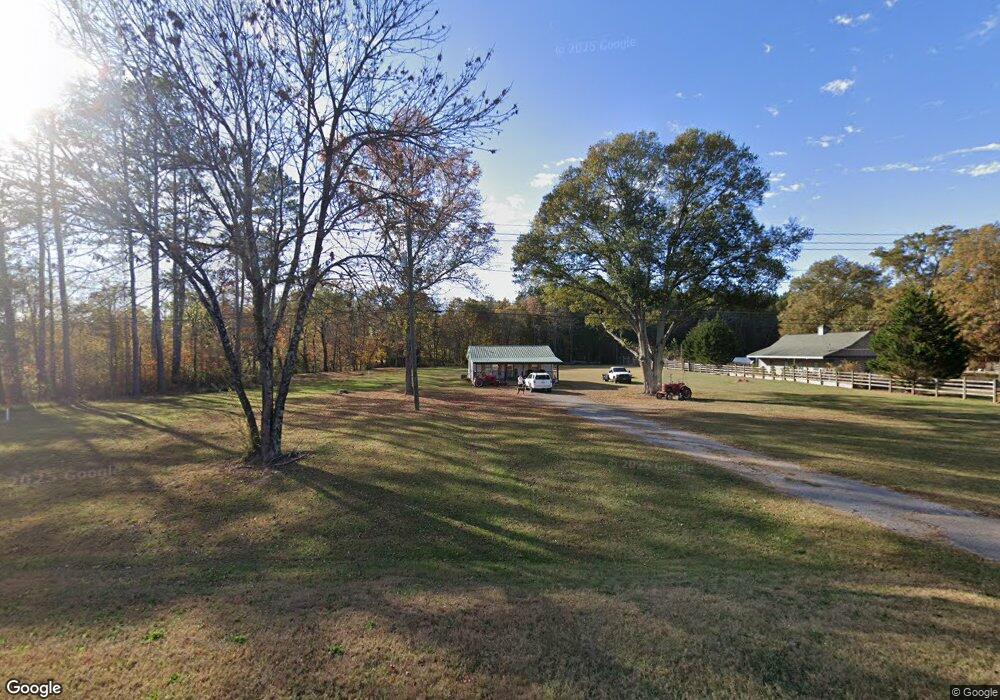
3207 Highway 41 South SW Calhoun, GA 30701
Estimated Value: $168,000 - $202,201
2
Beds
2
Baths
1,020
Sq Ft
$187/Sq Ft
Est. Value
About This Home
This home is located at 3207 Highway 41 South SW, Calhoun, GA 30701 and is currently estimated at $190,300, approximately $186 per square foot. 3207 Highway 41 South SW is a home located in Gordon County with nearby schools including Belwood Elementary School, Ashworth Middle School, and Gordon Central High School.
Ownership History
Date
Name
Owned For
Owner Type
Purchase Details
Closed on
Jan 15, 2021
Sold by
Meadows Dustin J
Bought by
Tucker Crystal
Current Estimated Value
Home Financials for this Owner
Home Financials are based on the most recent Mortgage that was taken out on this home.
Original Mortgage
$134,518
Outstanding Balance
$119,973
Interest Rate
2.67%
Mortgage Type
FHA
Estimated Equity
$70,327
Purchase Details
Closed on
Jan 11, 2019
Sold by
Stephens Tylor
Bought by
Meadows Dustin J and Meadows Bailee R
Home Financials for this Owner
Home Financials are based on the most recent Mortgage that was taken out on this home.
Original Mortgage
$67,651
Interest Rate
4.62%
Mortgage Type
FHA
Purchase Details
Closed on
Oct 4, 2016
Sold by
Taylor Marvin
Bought by
Stephens Taylor
Purchase Details
Closed on
Aug 30, 2012
Sold by
A & K Home Invesments Llc
Bought by
Taylor Marvin
Purchase Details
Closed on
Jan 30, 2012
Purchase Details
Closed on
Sep 6, 2011
Sold by
Suntrust Mortgage Inc
Bought by
Federal Home Loan Mortgage Corporation
Purchase Details
Closed on
Oct 19, 2006
Sold by
Salazar Damicia
Bought by
Rivera Elizabeth Ramos
Home Financials for this Owner
Home Financials are based on the most recent Mortgage that was taken out on this home.
Original Mortgage
$12,400
Interest Rate
6.31%
Mortgage Type
New Conventional
Purchase Details
Closed on
Sep 12, 2002
Sold by
Whaley Troy S
Bought by
Salazar Damicia
Purchase Details
Closed on
Jul 16, 1999
Bought by
Whaley Troy S
Create a Home Valuation Report for This Property
The Home Valuation Report is an in-depth analysis detailing your home's value as well as a comparison with similar homes in the area
Home Values in the Area
Average Home Value in this Area
Purchase History
| Date | Buyer | Sale Price | Title Company |
|---|---|---|---|
| Tucker Crystal | $137,000 | -- | |
| Meadows Dustin J | $68,900 | -- | |
| Stephens Taylor | -- | -- | |
| Taylor Marvin | $65,000 | -- | |
| -- | $14,000 | -- | |
| Federal Home Loan Mortgage Corporation | $51,000 | -- | |
| Rivera Elizabeth Ramos | $62,000 | -- | |
| Salazar Damicia | $46,000 | -- | |
| Whaley Troy S | $48,700 | -- |
Source: Public Records
Mortgage History
| Date | Status | Borrower | Loan Amount |
|---|---|---|---|
| Open | Tucker Crystal | $134,518 | |
| Previous Owner | Meadows Dustin J | $67,651 | |
| Previous Owner | Rivera Elizabeth Ramos | $12,400 |
Source: Public Records
Tax History Compared to Growth
Tax History
| Year | Tax Paid | Tax Assessment Tax Assessment Total Assessment is a certain percentage of the fair market value that is determined by local assessors to be the total taxable value of land and additions on the property. | Land | Improvement |
|---|---|---|---|---|
| 2024 | $1,255 | $49,400 | $3,920 | $45,480 |
| 2023 | $1,174 | $46,200 | $3,920 | $42,280 |
| 2022 | $1,164 | $43,080 | $3,920 | $39,160 |
| 2021 | $734 | $26,200 | $3,920 | $22,280 |
| 2020 | $761 | $26,560 | $3,920 | $22,640 |
| 2019 | $677 | $25,520 | $3,920 | $21,600 |
| 2018 | $631 | $23,920 | $3,920 | $20,000 |
| 2017 | $673 | $22,720 | $3,920 | $18,800 |
| 2016 | $675 | $22,720 | $3,920 | $18,800 |
| 2015 | $661 | $22,040 | $3,920 | $18,120 |
| 2014 | $610 | $20,950 | $3,930 | $17,020 |
Source: Public Records
Map
Nearby Homes
- L2 Taylor Bridge Rd SW
- 19 Dublin Way NW
- 211 Darby Rd SW
- 110 Darby Rd SW
- 770 Johnson Lake Rd SE
- 110 Hardwood Ridge Dr
- 269 Riverboat Dr
- Woodridge Plan at The Landing at Miller’s Ferry
- Kensington Plan at The Landing at Miller’s Ferry
- Northwyck Plan at The Landing at Miller’s Ferry
- Richmond Plan at The Landing at Miller’s Ferry
- Brookhaven Plan at The Landing at Miller’s Ferry
- Newport I Plan at The Landing at Miller’s Ferry
- Wesley Plan at The Landing at Miller’s Ferry
- Newport II Plan at The Landing at Miller’s Ferry
- Richardson Plan at The Landing at Miller’s Ferry
- Dewhurst Plan at The Landing at Miller’s Ferry
- 250 Shady Ln SE
- 365 Riverboat Dr
- 178 Harbor Trail
- 3207 U S 41
- 3212 Highway 41 South SE
- 3159 U S 41
- 471 Old Dixie Hwy SE
- 3125 U S 41
- 3212 Highway 41 SE
- 3119 Highway 41 South SW
- 457 Old Dixie Hwy SE
- 459 Old Dixie Hwy SE
- 137A Taylor Bridge Rd SW
- 782 Darby Rd SW
- 439 Old Dixie Hwy SE
- 5 Taylor Bridge Rd SW
- 8 Taylor Bridge Rd SW
- 0 Taylor Bridge Rd SW
- 24 Darby Rd SW
- 32 Darby Rd SW
- 22 Darby Rd SW
- 0000 Taylor Bridge Rd SW
- 3087 Highway 41 South SW