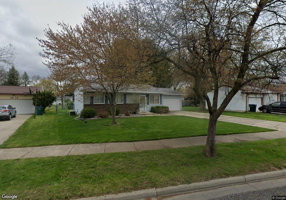
3208 Colchester Rd Lansing, MI 48906
Northwestside NeighborhoodEstimated Value: $172,665 - $227,000
--
Bed
--
Bath
1,020
Sq Ft
$205/Sq Ft
Est. Value
About This Home
This home is located at 3208 Colchester Rd, Lansing, MI 48906 and is currently estimated at $209,166, approximately $205 per square foot. 3208 Colchester Rd is a home located in Ingham County with nearby schools including Cumberland Elementary School, Pattengill Academy, and J.W. Sexton High School.
Ownership History
Date
Name
Owned For
Owner Type
Purchase Details
Closed on
Jul 28, 2006
Sold by
Wood Robert J
Bought by
Walker Matthew
Current Estimated Value
Home Financials for this Owner
Home Financials are based on the most recent Mortgage that was taken out on this home.
Original Mortgage
$137,000
Outstanding Balance
$82,119
Interest Rate
6.73%
Mortgage Type
Purchase Money Mortgage
Estimated Equity
$127,047
Purchase Details
Closed on
Jan 27, 2003
Sold by
Lyzenga Edward S and Lyzenga Amy L
Bought by
Wood Robert J
Home Financials for this Owner
Home Financials are based on the most recent Mortgage that was taken out on this home.
Original Mortgage
$94,900
Interest Rate
5.96%
Mortgage Type
Purchase Money Mortgage
Purchase Details
Closed on
Feb 1, 1996
Purchase Details
Closed on
Feb 1, 1992
Create a Home Valuation Report for This Property
The Home Valuation Report is an in-depth analysis detailing your home's value as well as a comparison with similar homes in the area
Home Values in the Area
Average Home Value in this Area
Purchase History
| Date | Buyer | Sale Price | Title Company |
|---|---|---|---|
| Walker Matthew | $127,000 | Metropolitan Title Company | |
| Wood Robert J | $122,900 | Chicago Title | |
| -- | $81,500 | -- | |
| -- | $73,300 | -- |
Source: Public Records
Mortgage History
| Date | Status | Borrower | Loan Amount |
|---|---|---|---|
| Open | Walker Matthew | $137,000 | |
| Previous Owner | Wood Robert J | $94,900 |
Source: Public Records
Tax History Compared to Growth
Tax History
| Year | Tax Paid | Tax Assessment Tax Assessment Total Assessment is a certain percentage of the fair market value that is determined by local assessors to be the total taxable value of land and additions on the property. | Land | Improvement |
|---|---|---|---|---|
| 2025 | $3,508 | $77,400 | $15,300 | $62,100 |
| 2024 | $28 | $77,000 | $15,300 | $61,700 |
| 2023 | $3,288 | $74,100 | $15,300 | $58,800 |
| 2022 | $2,963 | $65,100 | $12,400 | $52,700 |
| 2021 | $2,901 | $61,700 | $8,500 | $53,200 |
| 2020 | $2,884 | $53,900 | $10,500 | $43,400 |
| 2019 | $2,765 | $54,200 | $10,500 | $43,700 |
| 2018 | $2,590 | $52,100 | $10,500 | $41,600 |
| 2017 | $2,480 | $52,100 | $10,500 | $41,600 |
| 2016 | $2,372 | $45,500 | $10,500 | $35,000 |
| 2015 | $2,372 | $43,100 | $20,940 | $22,160 |
| 2014 | $2,372 | $42,300 | $20,940 | $21,360 |
Source: Public Records
Map
Nearby Homes
- 2519 Byrnes Rd
- 2300 Byrnes Rd
- 2524 Newport Dr
- 2601 Newport Dr
- 2206 Kuerbitz Dr
- 3500 Colchester Rd
- 2400 Leon Ave
- 2123 Cogswell Dr
- 2316 Barstow Rd
- 4221 N Grand River Ave
- 3733 Colchester Rd
- 3230 Sheffer Ave
- 4005 N Grand River Ave
- 2220 Delta River Dr
- 2241 Cumberland Rd
- 1805 Boynton Dr
- 2111 Delta River Dr
- 3502 Springbrook Ln
- 1610 Ravenswood Dr
- 1900 Kaplan St
- 3200 Colchester Rd
- 3214 Colchester Rd
- 3133 Delta River Dr
- 3122 Colchester Rd
- 3220 Colchester Rd
- 3207 Colchester Rd
- 3221 Colchester Rd
- 3201 Delta River Dr
- 3116 Colchester Rd
- 2418 Byrnes Rd
- 3215 Delta River Dr
- 2419 Beacon Hill Dr
- 3108 Colchester Rd
- 3117 Colchester Rd
- 2412 Byrnes Rd
- 2413 Beacon Hill Dr
- 2511 Byrnes Rd
- 2429 Byrnes Rd
- 2423 Byrnes Rd