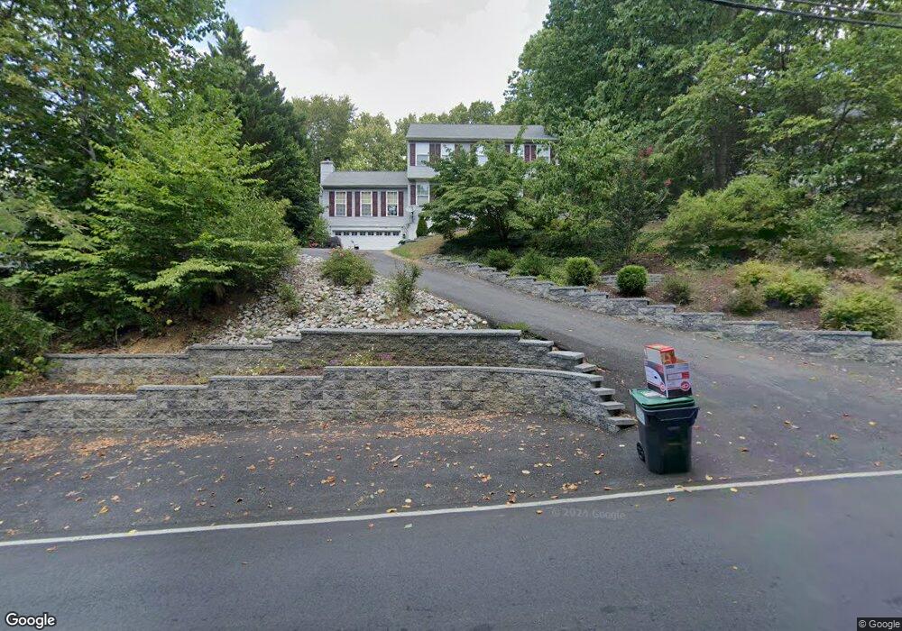
3208 Titanic Dr Stafford, VA 22554
Aquia Harbour NeighborhoodEstimated Value: $542,000 - $563,000
4
Beds
3
Baths
2,624
Sq Ft
$211/Sq Ft
Est. Value
About This Home
This home is located at 3208 Titanic Dr, Stafford, VA 22554 and is currently estimated at $553,593, approximately $210 per square foot. 3208 Titanic Dr is a home located in Stafford County with nearby schools including Hampton Oaks Elementary School, Shirley C. Heim Middle School, and Brooke Point High School.
Ownership History
Date
Name
Owned For
Owner Type
Purchase Details
Closed on
Oct 21, 1999
Sold by
Murray Gary E
Bought by
White Paul M
Current Estimated Value
Home Financials for this Owner
Home Financials are based on the most recent Mortgage that was taken out on this home.
Original Mortgage
$187,650
Outstanding Balance
$56,659
Interest Rate
7.83%
Estimated Equity
$496,934
Create a Home Valuation Report for This Property
The Home Valuation Report is an in-depth analysis detailing your home's value as well as a comparison with similar homes in the area
Home Values in the Area
Average Home Value in this Area
Purchase History
| Date | Buyer | Sale Price | Title Company |
|---|---|---|---|
| White Paul M | $193,500 | -- |
Source: Public Records
Mortgage History
| Date | Status | Borrower | Loan Amount |
|---|---|---|---|
| Open | White Paul M | $187,650 |
Source: Public Records
Tax History Compared to Growth
Tax History
| Year | Tax Paid | Tax Assessment Tax Assessment Total Assessment is a certain percentage of the fair market value that is determined by local assessors to be the total taxable value of land and additions on the property. | Land | Improvement |
|---|---|---|---|---|
| 2025 | $4,039 | $445,500 | $145,000 | $300,500 |
| 2024 | $4,039 | $445,500 | $145,000 | $300,500 |
| 2023 | $3,896 | $412,300 | $120,000 | $292,300 |
| 2022 | $3,505 | $412,300 | $120,000 | $292,300 |
| 2021 | $3,272 | $337,300 | $95,000 | $242,300 |
| 2020 | $3,272 | $337,300 | $95,000 | $242,300 |
| 2019 | $3,278 | $324,600 | $95,000 | $229,600 |
| 2018 | $3,214 | $324,600 | $95,000 | $229,600 |
| 2017 | $3,027 | $305,800 | $95,000 | $210,800 |
| 2016 | $3,027 | $305,800 | $95,000 | $210,800 |
| 2015 | -- | $288,100 | $95,000 | $193,100 |
| 2014 | -- | $288,100 | $95,000 | $193,100 |
Source: Public Records
Map
Nearby Homes
- 3203 Titanic Dr
- 321 Raft Cove
- 3244 Titanic Dr
- 3016 Lusitania Dr
- 2452 Harpoon Dr
- 202 Sail Cove
- 2228 Aquia Dr
- 201 Bulkhead Cove
- 3008 Cruiser Dr
- 2425 Harpoon Dr
- 464 Decatur Rd
- 2008 Coast Guard Dr
- 8 William And Mary Ln
- 1 William And Mary Ln
- 0 William And Mary Ln
- 2016 Coast Guard Dr
- 2409 Harpoon Dr
- 2163 Aquia Dr
- 1002 Potomac Dr
- 2161 Aquia Dr
- 3206 Titanic Dr
- 3210 Titanic Dr
- 3204 Titanic Dr
- 3212 Titanic Dr
- 3207 Titanic Dr
- 3202 Titanic Dr
- 3205 Titanic Dr
- 3214 Titanic Dr
- 3201 Titanic Dr
- 3200 Titanic Dr
- 3216 Titanic Dr
- 3209 Titanic Dr
- 3011 Clippership Dr
- 3218 Titanic Dr
- 306 Clippership Cove
- 3106 Titanic Dr
- 3009 Clippership Dr
- 313 Clippership Cove
- 3211 Titanic Dr
- 304 Clippership Cove