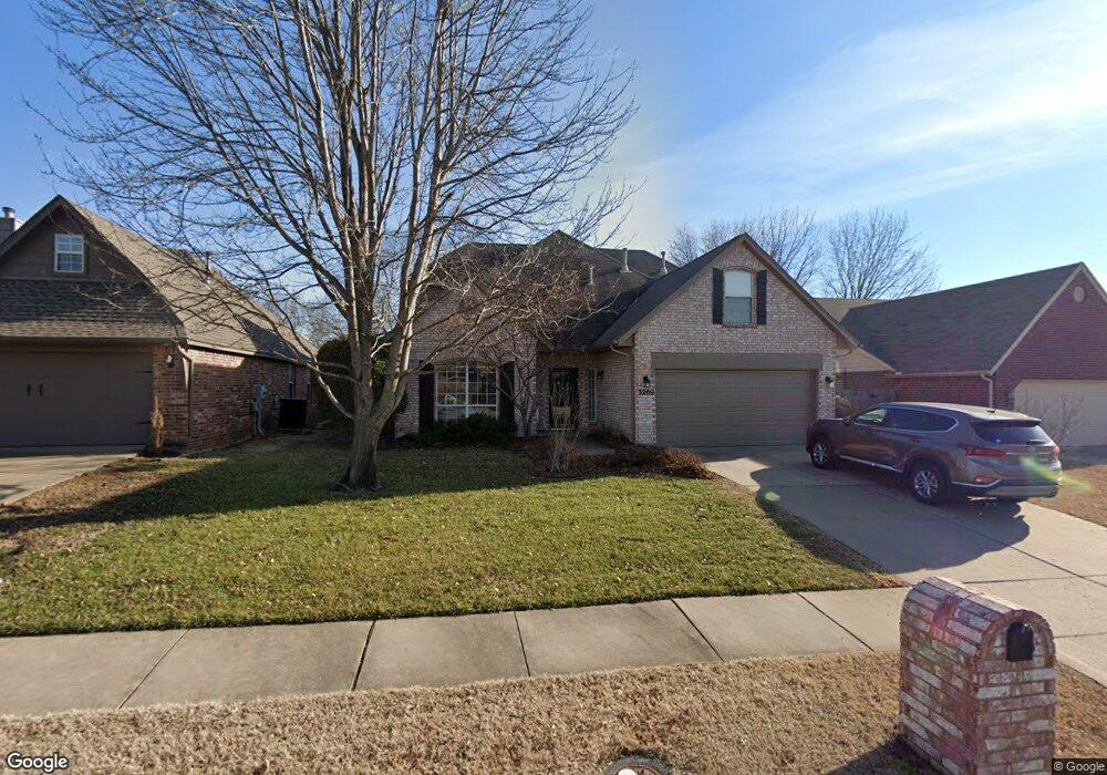
3209 W Freeport St Broken Arrow, OK 74012
Country Aire Estates NeighborhoodEstimated Value: $316,488 - $337,000
4
Beds
3
Baths
2,599
Sq Ft
$126/Sq Ft
Est. Value
About This Home
This home is located at 3209 W Freeport St, Broken Arrow, OK 74012 and is currently estimated at $327,122, approximately $125 per square foot. 3209 W Freeport St is a home located in Tulsa County with nearby schools including Peters Elementary School, Union 8th Grade Center, and Union 6th-7th Grade Center.
Ownership History
Date
Name
Owned For
Owner Type
Purchase Details
Closed on
Feb 15, 2022
Sold by
Gunsch Christopher T and Gunsch Alisa A
Bought by
Welch Michael Jason and Yan Shanshan
Current Estimated Value
Purchase Details
Closed on
Dec 15, 1998
Sold by
Montgomery Bradley K and Montgomery Allison M
Bought by
Gunsch Christopher T and Gunsch Alisa A
Purchase Details
Closed on
Feb 1, 1995
Purchase Details
Closed on
Nov 1, 1994
Create a Home Valuation Report for This Property
The Home Valuation Report is an in-depth analysis detailing your home's value as well as a comparison with similar homes in the area
Home Values in the Area
Average Home Value in this Area
Purchase History
| Date | Buyer | Sale Price | Title Company |
|---|---|---|---|
| Welch Michael Jason | $260,000 | Residential Title & Escrow | |
| Gunsch Christopher T | $140,000 | Tulsa Abstract & Title Co | |
| -- | $139,000 | -- | |
| -- | $25,500 | -- |
Source: Public Records
Tax History Compared to Growth
Tax History
| Year | Tax Paid | Tax Assessment Tax Assessment Total Assessment is a certain percentage of the fair market value that is determined by local assessors to be the total taxable value of land and additions on the property. | Land | Improvement |
|---|---|---|---|---|
| 2024 | $4,298 | $31,933 | $3,987 | $27,946 |
| 2023 | $4,298 | $33,299 | $3,987 | $29,312 |
| 2022 | $2,739 | $21,049 | $3,133 | $17,916 |
| 2021 | $2,664 | $20,406 | $3,037 | $17,369 |
| 2020 | $2,600 | $19,783 | $3,419 | $16,364 |
| 2019 | $2,596 | $19,783 | $3,419 | $16,364 |
| 2018 | $2,588 | $19,783 | $3,419 | $16,364 |
| 2017 | $2,606 | $20,664 | $3,571 | $17,093 |
| 2016 | $2,493 | $20,062 | $3,467 | $16,595 |
| 2015 | $2,418 | $19,478 | $3,366 | $16,112 |
| 2014 | $2,404 | $19,478 | $3,366 | $16,112 |
Source: Public Records
Map
Nearby Homes
- 3309 W Freeport St
- 705 N Indianwood Ave
- 701 N Indianwood Ave
- 409 N Palm Ave
- 3408 W College St
- 208 N Nyssa Ave
- 3200 W Lansing St
- 3033 W Oakland St
- 3108 W Norman Cir
- 2509 W Iola St
- 2909 W Oakland St
- 1313 N Hemlock Ave
- 3902 W Kenosha St
- 2605 W Detroit St
- 2701 W Madison St
- 2604 W Broadway St
- 6712 S 136th Ave E
- 2640 W Dallas St
- 2600 W Commercial St
- 0 S 136th East Ave
- 3205 W Freeport St
- 3213 W Freeport St
- 3301 W Freeport St
- 3201 W Freeport St
- 3204 W Freeport St
- 3208 W Freeport St
- 3305 W Freeport St
- 3200 W Freeport St
- 3117 W Freeport St
- 3117 W Freeport St Unit 1
- 3300 W Freeport St
- 3200 W Elgin St
- 3116 W Elgin St
- 3104 W Freeport St
- 3304 W Freeport St
- 3204 W Elgin St
- 3113 W Freeport St
- 3112 W Elgin St
- 3208 W Elgin St
- 3209 W Hartford St
