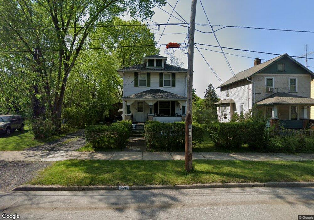
321 3rd St SW Warren, OH 44483
Southwest Warren NeighborhoodEstimated Value: $42,000 - $69,000
2
Beds
1
Bath
1,009
Sq Ft
$52/Sq Ft
Est. Value
About This Home
This home is located at 321 3rd St SW, Warren, OH 44483 and is currently estimated at $52,475, approximately $52 per square foot. 321 3rd St SW is a home located in Trumbull County with nearby schools including Jefferson School, Warren G. Harding High School, and Steam Academy of Warren.
Ownership History
Date
Name
Owned For
Owner Type
Purchase Details
Closed on
Nov 22, 2016
Sold by
Battle Chawnelle A
Bought by
A Battle J Chawnelle and Battle S Roland
Current Estimated Value
Home Financials for this Owner
Home Financials are based on the most recent Mortgage that was taken out on this home.
Interest Rate
3.94%
Purchase Details
Closed on
Dec 3, 1999
Sold by
Dawson Patricia D
Bought by
Battle Chawnelle A
Purchase Details
Closed on
Jan 1, 1990
Bought by
William and William Mamie
Create a Home Valuation Report for This Property
The Home Valuation Report is an in-depth analysis detailing your home's value as well as a comparison with similar homes in the area
Home Values in the Area
Average Home Value in this Area
Purchase History
| Date | Buyer | Sale Price | Title Company |
|---|---|---|---|
| A Battle J Chawnelle | -- | -- | |
| Battle Chawnelle A | $19,500 | -- | |
| William | -- | -- |
Source: Public Records
Mortgage History
| Date | Status | Borrower | Loan Amount |
|---|---|---|---|
| Closed | A Battle J Chawnelle | -- | |
| Closed | Battle Chawnelle A | -- |
Source: Public Records
Tax History Compared to Growth
Tax History
| Year | Tax Paid | Tax Assessment Tax Assessment Total Assessment is a certain percentage of the fair market value that is determined by local assessors to be the total taxable value of land and additions on the property. | Land | Improvement |
|---|---|---|---|---|
| 2024 | $303 | $5,990 | $810 | $5,180 |
| 2023 | $303 | $5,990 | $810 | $5,180 |
| 2022 | $255 | $3,930 | $810 | $3,120 |
| 2021 | $255 | $3,930 | $810 | $3,120 |
| 2020 | $256 | $3,930 | $810 | $3,120 |
| 2019 | $260 | $3,790 | $810 | $2,980 |
| 2018 | $259 | $3,790 | $810 | $2,980 |
| 2017 | $255 | $3,790 | $810 | $2,980 |
| 2016 | $275 | $4,240 | $1,020 | $3,220 |
| 2015 | $273 | $4,240 | $1,020 | $3,220 |
| 2014 | $272 | $4,240 | $1,020 | $3,220 |
| 2013 | $300 | $4,940 | $1,020 | $3,920 |
Source: Public Records
Map
Nearby Homes
- 354 Tod Ave SW
- 868 Front St SW
- 1208 Youngstown Rd SE
- 1145 Stiles St NW
- 1205 Belle St SE
- 949 East Ave SE
- 136 Charles Ave SE
- 1736 Jefferson St SW
- 257 Iddings Ave SE
- 1863 Deerfield Ave SW
- 1551 Woodbine Ave SE
- 767 East Ave SE
- 628 St Clair Ave
- 257 Washington St NW
- 737 East Ave SE
- 433 Olive Ave NE Unit 435
- 1250 Grant St SE
- 2016 Colonial St SE
- 821 Woodbine Ave SE
- 632 Mercer Ave NE