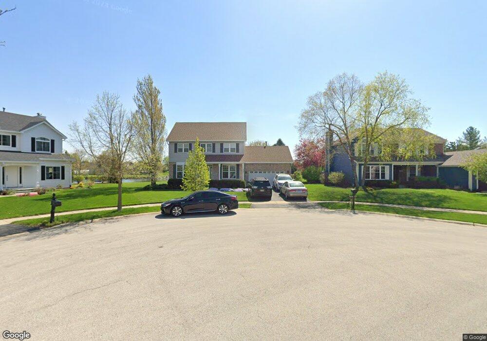
321 Acorn Dr North Aurora, IL 60542
Estimated Value: $370,358 - $409,000
3
Beds
3
Baths
1,808
Sq Ft
$215/Sq Ft
Est. Value
About This Home
This home is located at 321 Acorn Dr, North Aurora, IL 60542 and is currently estimated at $388,340, approximately $214 per square foot. 321 Acorn Dr is a home located in Kane County with nearby schools including Goodwin Elementary School, Jewel Middle School, and West Aurora High School.
Ownership History
Date
Name
Owned For
Owner Type
Purchase Details
Closed on
Jun 25, 2004
Sold by
Stimers Patrick C and Schroeder Gail L
Bought by
Kamaris Jeffrey N and Kamaris Alicia M
Current Estimated Value
Home Financials for this Owner
Home Financials are based on the most recent Mortgage that was taken out on this home.
Original Mortgage
$193,600
Outstanding Balance
$91,293
Interest Rate
5.37%
Mortgage Type
Purchase Money Mortgage
Estimated Equity
$297,047
Purchase Details
Closed on
Jan 4, 1995
Sold by
Lasalle National Trust Na
Bought by
Stimers Patrick C and Schroeder Gail L
Home Financials for this Owner
Home Financials are based on the most recent Mortgage that was taken out on this home.
Original Mortgage
$134,600
Interest Rate
9.28%
Create a Home Valuation Report for This Property
The Home Valuation Report is an in-depth analysis detailing your home's value as well as a comparison with similar homes in the area
Home Values in the Area
Average Home Value in this Area
Purchase History
| Date | Buyer | Sale Price | Title Company |
|---|---|---|---|
| Kamaris Jeffrey N | $242,000 | First American Title Ins Co | |
| Stimers Patrick C | $168,500 | Chicago Title Insurance Co |
Source: Public Records
Mortgage History
| Date | Status | Borrower | Loan Amount |
|---|---|---|---|
| Open | Kamaris Jeffrey N | $193,600 | |
| Previous Owner | Stimers Patrick C | $134,600 | |
| Closed | Kamaris Jeffrey N | $36,300 |
Source: Public Records
Tax History Compared to Growth
Tax History
| Year | Tax Paid | Tax Assessment Tax Assessment Total Assessment is a certain percentage of the fair market value that is determined by local assessors to be the total taxable value of land and additions on the property. | Land | Improvement |
|---|---|---|---|---|
| 2024 | $7,392 | $105,419 | $16,434 | $88,985 |
| 2023 | $7,202 | $95,679 | $14,916 | $80,763 |
| 2022 | $6,779 | $87,221 | $13,940 | $73,281 |
| 2021 | $6,524 | $82,721 | $13,221 | $69,500 |
| 2020 | $6,500 | $81,131 | $12,967 | $68,164 |
| 2019 | $6,570 | $78,259 | $12,508 | $65,751 |
| 2018 | $6,517 | $75,278 | $12,032 | $63,246 |
| 2017 | $6,466 | $72,795 | $11,635 | $61,160 |
| 2016 | $6,451 | $70,675 | $11,296 | $59,379 |
| 2015 | $6,232 | $69,066 | $11,039 | $58,027 |
| 2014 | $6,232 | $66,892 | $10,692 | $56,200 |
| 2013 | $6,232 | $68,207 | $13,104 | $55,103 |
Source: Public Records
Map
Nearby Homes
- 791 Cottonwood Dr
- 438 Mallard Point Dr
- 442 Mallard Point Dr
- 504 Dogwood Ct
- 523 Mallard Point Dr Unit 1
- 413 N Sycamore Ln
- 727 Harmony Ct
- 302 Pin Oak Dr
- 341 Pheasant Hill Dr
- 508 Pinewood Dr
- 503 Redwood Ct
- 489 Pinewood Dr
- 460 Prairie Ridge Ln
- 459 Prairie Ridge Ln
- 22 Silver Trail Unit 2
- 426 Prairie Ridge Ln
- 448 Prairie Ridge Ln
- 444 Prairie Ridge Ln
- 427 Prairie Ridge Ln
- 109 E Victoria Cir Unit 7/5