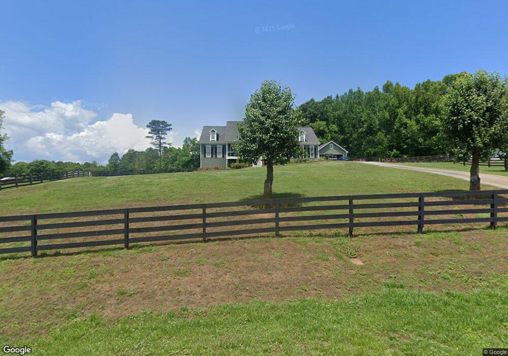
321 Allendale Dr Unit II Canton, GA 30115
Union Hill NeighborhoodEstimated Value: $611,000 - $930,000
4
Beds
3
Baths
2,437
Sq Ft
$314/Sq Ft
Est. Value
About This Home
This home is located at 321 Allendale Dr Unit II, Canton, GA 30115 and is currently estimated at $764,029, approximately $313 per square foot. 321 Allendale Dr Unit II is a home located in Cherokee County with nearby schools including Free Home Elementary School, Creekland Middle School, and Creekview High School.
Ownership History
Date
Name
Owned For
Owner Type
Purchase Details
Closed on
Sep 21, 2001
Sold by
Rising Creek Construction Inc
Bought by
Eddington Michael A and Eddington Karen L
Current Estimated Value
Home Financials for this Owner
Home Financials are based on the most recent Mortgage that was taken out on this home.
Original Mortgage
$264,550
Interest Rate
6.49%
Mortgage Type
New Conventional
Create a Home Valuation Report for This Property
The Home Valuation Report is an in-depth analysis detailing your home's value as well as a comparison with similar homes in the area
Home Values in the Area
Average Home Value in this Area
Purchase History
| Date | Buyer | Sale Price | Title Company |
|---|---|---|---|
| Eddington Michael A | $278,300 | -- |
Source: Public Records
Mortgage History
| Date | Status | Borrower | Loan Amount |
|---|---|---|---|
| Previous Owner | Eddington Michael A | $264,550 |
Source: Public Records
Tax History Compared to Growth
Tax History
| Year | Tax Paid | Tax Assessment Tax Assessment Total Assessment is a certain percentage of the fair market value that is determined by local assessors to be the total taxable value of land and additions on the property. | Land | Improvement |
|---|---|---|---|---|
| 2025 | $5,488 | $235,120 | $40,000 | $195,120 |
| 2024 | $5,305 | $227,240 | $40,000 | $187,240 |
| 2023 | $5,152 | $240,640 | $40,000 | $200,640 |
| 2022 | $4,624 | $192,320 | $40,000 | $152,320 |
| 2021 | $4,254 | $159,800 | $32,000 | $127,800 |
| 2020 | $4,138 | $154,600 | $32,000 | $122,600 |
| 2019 | $3,626 | $132,560 | $28,800 | $103,760 |
| 2018 | $3,677 | $133,920 | $28,800 | $105,120 |
| 2017 | $3,523 | $315,400 | $28,800 | $97,360 |
| 2016 | $3,387 | $297,200 | $28,800 | $90,080 |
| 2015 | $3,448 | $300,100 | $28,800 | $91,240 |
| 2014 | $3,505 | $305,400 | $28,800 | $93,360 |
Source: Public Records
Map
Nearby Homes
- 320 Allendale Dr
- 12184 Cumming Hwy
- 11501 Cumming Hwy
- 529 Claude Scott Rd
- 313 Thorntree Ln
- 146 Henderson Farm Dr
- 150 Trinity Farm Dr
- 115 Trinity Hollow Dr
- 200 Red Gate Terrace
- 419 Sunflower Ridge
- 114 Trinity Hollow Dr
- 10585 Cumming Hwy
- 10004 Freehome Hwy
- 152 Sherwood Ln
- 146 Sherwood Ln
- 146/148 Sherwood Ln
- 146/8 Sherwood Ln
- 802 Old Mill Trail
- 311 Allendale Dr
- 331 Allendale Dr
- 290 Allendale Dr
- 471 Henderson Lake Dr
- 280 Allendale Dr
- 301 Allendale Dr
- 479 Henderson Lake Dr
- 300 Allendale Dr
- 291 Allendale Dr
- 270 Allendale Dr
- 270 Allendale Dr Unit 11
- 475 Henderson Lake Dr
- 281 Allendale Dr Unit II
- 310 Allendale Dr Unit II
- 260 Allendale Dr Unit II
- 491 Henderson Lake Dr
- 250 Allendale Dr
- 217 Matt Lathem Rd
- 271 Allendale Dr
- 297 Henderson Lake Dr