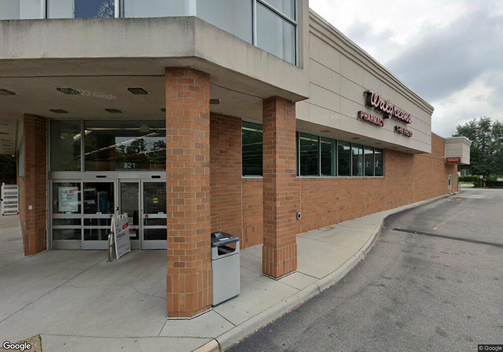
321 Battlefield Blvd S Chesapeake, VA 23322
Pleasant Grove West Neighborhood
--
Bed
--
Bath
13,703
Sq Ft
1.62
Acres
About This Home
This home is located at 321 Battlefield Blvd S, Chesapeake, VA 23322. 321 Battlefield Blvd S is a home located in Chesapeake City with nearby schools including Great Bridge Primary School, Great Bridge Intermediate School, and Great Bridge Middle School.
Ownership History
Date
Name
Owned For
Owner Type
Purchase Details
Closed on
Nov 13, 2023
Sold by
Walgreen Co
Bought by
Cot Wg Meadow Llc
Home Financials for this Owner
Home Financials are based on the most recent Mortgage that was taken out on this home.
Original Mortgage
$90,250,000
Interest Rate
6.61%
Mortgage Type
New Conventional
Create a Home Valuation Report for This Property
The Home Valuation Report is an in-depth analysis detailing your home's value as well as a comparison with similar homes in the area
Home Values in the Area
Average Home Value in this Area
Purchase History
| Date | Buyer | Sale Price | Title Company |
|---|---|---|---|
| Cot Wg Meadow Llc | $3,778,278 | Land Title |
Source: Public Records
Mortgage History
| Date | Status | Borrower | Loan Amount |
|---|---|---|---|
| Previous Owner | Cot Wg Meadow Llc | $90,250,000 |
Source: Public Records
Tax History Compared to Growth
Tax History
| Year | Tax Paid | Tax Assessment Tax Assessment Total Assessment is a certain percentage of the fair market value that is determined by local assessors to be the total taxable value of land and additions on the property. | Land | Improvement |
|---|---|---|---|---|
| 2025 | $45,291 | $4,389,100 | $1,214,300 | $3,174,800 |
| 2024 | $45,291 | $4,484,300 | $1,295,200 | $3,189,100 |
| 2023 | $41,336 | $4,578,500 | $1,295,200 | $3,283,300 |
| 2022 | $40,974 | $4,056,800 | $1,295,200 | $2,761,600 |
| 2021 | $37,154 | $3,538,500 | $1,133,300 | $2,405,200 |
| 2020 | $36,049 | $3,433,200 | $1,133,300 | $2,299,900 |
| 2019 | $35,610 | $3,391,400 | $1,133,300 | $2,258,100 |
| 2018 | $33,587 | $3,198,800 | $1,052,400 | $2,146,400 |
| 2017 | $31,730 | $3,021,900 | $1,052,400 | $1,969,500 |
| 2016 | $26,422 | $2,516,400 | $987,600 | $1,528,800 |
| 2015 | $25,242 | $2,404,000 | $987,600 | $1,416,400 |
| 2014 | $25,242 | $2,404,000 | $987,600 | $1,416,400 |
Source: Public Records
Map
Nearby Homes
- 209 Britwell Dr
- 101 Stadium Dr
- 113 Golden Maple Dr
- 301 Woodbridge Dr
- 179 Harbor Watch Dr
- 169 Harbor Watch Dr
- 516 Copeland Dr
- 712 Magnum Rd
- 404 Wickwood Dr
- 536 Scarborough Dr
- 416 Woodberry Dr
- 352 Hurdle Dr
- 501 Summit Ridge Dr
- 405 Briarwood Ct
- 500 Deal Island Ct
- 513 E Lake Cir
- 533 E Lake Cir
- 716 Johnstown Rd
- 627 Luray Terrace
- 535 Parker Rd
- 321 S Battlefield Blvd
- 308 Woodford Dr
- 359 Battlefield Blvd S
- 304 Woodford Dr
- 309 Woodford Dr
- 313 Battlefield Blvd S
- 300 Woodford Dr
- 305 Woodford Dr
- 320 Battlefield Blvd S
- 133 Mount Pleasant Rd
- 301 Woodford Dr
- 228 Woodford Dr
- 205 Bridgeview Cir
- 312 Battlefield Blvd S
- 111 Old Dr
- 224 Woodford Dr
- 105 Hester Dr
- 229 Woodford Dr
- 324 Battlefield Blvd S
- 209 Bridgeview Cir