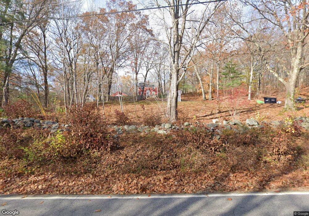
321 Brock Rd Lyman, ME 04002
Lyman NeighborhoodEstimated Value: $488,610 - $704,000
3
Beds
2
Baths
2,088
Sq Ft
$277/Sq Ft
Est. Value
About This Home
This home is located at 321 Brock Rd, Lyman, ME 04002 and is currently estimated at $578,203, approximately $276 per square foot. 321 Brock Rd is a home located in York County with nearby schools including Massabesic High School.
Ownership History
Date
Name
Owned For
Owner Type
Purchase Details
Closed on
Aug 31, 2012
Sold by
Canney Taryn L and Fife Taryn L
Bought by
Canney Taryn L
Current Estimated Value
Home Financials for this Owner
Home Financials are based on the most recent Mortgage that was taken out on this home.
Original Mortgage
$260,415
Interest Rate
3.56%
Mortgage Type
New Conventional
Create a Home Valuation Report for This Property
The Home Valuation Report is an in-depth analysis detailing your home's value as well as a comparison with similar homes in the area
Home Values in the Area
Average Home Value in this Area
Purchase History
| Date | Buyer | Sale Price | Title Company |
|---|---|---|---|
| Canney Taryn L | -- | -- |
Source: Public Records
Mortgage History
| Date | Status | Borrower | Loan Amount |
|---|---|---|---|
| Closed | Canney Taryn L | $260,415 |
Source: Public Records
Tax History Compared to Growth
Tax History
| Year | Tax Paid | Tax Assessment Tax Assessment Total Assessment is a certain percentage of the fair market value that is determined by local assessors to be the total taxable value of land and additions on the property. | Land | Improvement |
|---|---|---|---|---|
| 2024 | $4,350 | $345,000 | $91,000 | $254,000 |
| 2023 | $4,206 | $345,000 | $91,000 | $254,000 |
| 2022 | $4,037 | $345,000 | $91,000 | $254,000 |
| 2021 | $3,674 | $345,000 | $91,000 | $254,000 |
| 2020 | $4,150 | $386,000 | $93,000 | $293,000 |
| 2019 | $2,766 | $386,000 | $93,000 | $293,000 |
| 2018 | $4,564 | $327,000 | $77,000 | $250,000 |
| 2017 | $3,759 | $301,000 | $71,800 | $229,200 |
| 2015 | $3,732 | $301,000 | $71,800 | $229,200 |
| 2014 | $3,657 | $301,000 | $71,800 | $229,200 |
Source: Public Records
Map
Nearby Homes
- 74 Lisa Dr
- 16 Marcotte Ln
- 22 White House Cove Rd
- 67 Carpenter Hill Rd
- Lot 1 Martin Cir
- 232 Waterboro Rd
- TBD Olde Farnham Rd
- 65 Old County Rd
- 26 Kolbe Dr
- 15 Scooter Way
- 5 Cooper Way
- 34 Cascade Cir Unit 30
- 628 Main St
- 691 Gore Rd
- 87 Drown Rd
- 62-2 S Waterboro Rd
- 69 Oscar Littlefield Rd
- 330 Biddeford Rd
- 450 West Rd
- 2252 Alfred Rd
- 300 Brock Rd
- 331 Brock Rd
- 338 Brock Rd
- 276 Brock Rd
- 356 Brock Rd
- 0 Brock Rd
- Lot 2 Pleasant Point Rd
- Lot 1 Pleasant Point Rd
- 28 Pleasant Point Rd
- 22 Pleasant Point Rd
- 12 Pleasant Point Rd
- 373 Brock Rd
- 47 Pleasant Point Rd
- 48 Pleasant Point Rd
- 374 Brock Rd
- 55 Pleasant Point Rd
- 387 Brock Rd
- 384 Brock Rd
- 61 Pleasant Point Rd
- 59 Pleasant Point Rd