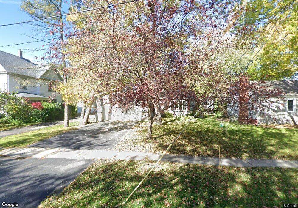
321 Burbank Ave Woodstock, IL 60098
Estimated Value: $270,000 - $300,000
3
Beds
2
Baths
1,232
Sq Ft
$230/Sq Ft
Est. Value
About This Home
This home is located at 321 Burbank Ave, Woodstock, IL 60098 and is currently estimated at $283,441, approximately $230 per square foot. 321 Burbank Ave is a home located in McHenry County with nearby schools including Dean Street Elementary School, Creekside Middle School, and Woodstock High School.
Ownership History
Date
Name
Owned For
Owner Type
Purchase Details
Closed on
Apr 23, 1998
Sold by
Payne Ralph J and Payne Georgia M
Bought by
Payne Family Trust
Current Estimated Value
Create a Home Valuation Report for This Property
The Home Valuation Report is an in-depth analysis detailing your home's value as well as a comparison with similar homes in the area
Home Values in the Area
Average Home Value in this Area
Purchase History
| Date | Buyer | Sale Price | Title Company |
|---|---|---|---|
| Payne Family Trust | -- | -- |
Source: Public Records
Tax History Compared to Growth
Tax History
| Year | Tax Paid | Tax Assessment Tax Assessment Total Assessment is a certain percentage of the fair market value that is determined by local assessors to be the total taxable value of land and additions on the property. | Land | Improvement |
|---|---|---|---|---|
| 2024 | $5,708 | $77,952 | $6,434 | $71,518 |
| 2023 | $5,331 | $70,493 | $5,818 | $64,675 |
| 2022 | $5,572 | $65,045 | $5,163 | $59,882 |
| 2021 | $5,253 | $60,773 | $4,824 | $55,949 |
| 2020 | $5,023 | $57,747 | $4,584 | $53,163 |
| 2019 | $4,841 | $55,123 | $4,376 | $50,747 |
| 2018 | $4,169 | $48,406 | $4,990 | $43,416 |
| 2017 | $4,042 | $45,558 | $4,696 | $40,862 |
| 2016 | $3,935 | $42,183 | $4,348 | $37,835 |
| 2013 | -- | $47,615 | $11,352 | $36,263 |
Source: Public Records
Map
Nearby Homes
- 908 Bunker St
- 331 Chestnut St
- 155 Lee Ann Ln
- 601 S Jefferson St
- 421 W Kimball Ave
- 104 Stewart Ave
- 125 Forest Ave
- 1380 Sandpiper Ln
- 415 Dean St
- 434 Lake Ave
- 330 Lake Ave
- 1288 Prairie Ridge Trail
- 3848 Riverwoods Dr
- 3902 Riverwoods Dr
- 3842 Riverwoods Dr
- 3839 Riverwoods Dr
- Townsend Plan at Clublands of Antioch - Horizon Series
- Napa Plan at Clublands of Antioch - Andare Series
- 1249 Prairie Ridge Trail
- 3851 Riverwoods Dr
- 327 Burbank Ave
- 315 Burbank Ave
- 1030 S Jefferson St
- 1022 S Jefferson St
- 320 E Kimball Ave
- 322 Burbank Ave
- 316 Burbank Ave
- 328 Burbank Ave
- 314 E Kimball Ave
- 326 E Kimball Ave
- 1009 Bunker St
- 314 Burbank Ave
- 334 E Kimball Ave
- 308 E Kimball Ave
- 1033 S Jefferson St
- 334 Burbank Ave
- 300 E Kimball Ave
- 338 Burbank Ave
- 413 Burbank Ave
- 1011 S Jefferson St