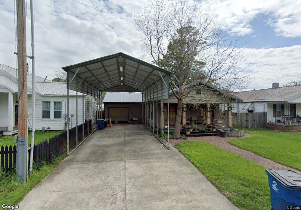
321 Burbridge St Port Allen, LA 70767
Estimated Value: $167,355 - $224,000
--
Bed
--
Bath
1,460
Sq Ft
$131/Sq Ft
Est. Value
About This Home
This home is located at 321 Burbridge St, Port Allen, LA 70767 and is currently estimated at $191,089, approximately $130 per square foot. 321 Burbridge St is a home located in West Baton Rouge Parish with nearby schools including Port Allen Elementary School, Cohn Elementary School, and Port Allen Middle School.
Ownership History
Date
Name
Owned For
Owner Type
Purchase Details
Closed on
Nov 28, 2017
Sold by
Henderson Jason P and Henderson Amy
Bought by
Sarradet Derek J
Current Estimated Value
Home Financials for this Owner
Home Financials are based on the most recent Mortgage that was taken out on this home.
Original Mortgage
$99,500
Outstanding Balance
$83,770
Interest Rate
3.94%
Mortgage Type
New Conventional
Estimated Equity
$107,319
Create a Home Valuation Report for This Property
The Home Valuation Report is an in-depth analysis detailing your home's value as well as a comparison with similar homes in the area
Home Values in the Area
Average Home Value in this Area
Purchase History
| Date | Buyer | Sale Price | Title Company |
|---|---|---|---|
| Sarradet Derek J | $144,500 | Baton Rouge Title |
Source: Public Records
Mortgage History
| Date | Status | Borrower | Loan Amount |
|---|---|---|---|
| Open | Sarradet Derek J | $99,500 |
Source: Public Records
Tax History Compared to Growth
Tax History
| Year | Tax Paid | Tax Assessment Tax Assessment Total Assessment is a certain percentage of the fair market value that is determined by local assessors to be the total taxable value of land and additions on the property. | Land | Improvement |
|---|---|---|---|---|
| 2024 | $813 | $14,120 | $3,290 | $10,830 |
| 2023 | $577 | $11,680 | $2,240 | $9,440 |
| 2022 | $1,367 | $11,680 | $2,240 | $9,440 |
| 2021 | $1,395 | $11,680 | $2,240 | $9,440 |
| 2020 | $1,268 | $10,520 | $2,020 | $8,500 |
| 2019 | $1,243 | $9,890 | $1,100 | $8,790 |
| 2018 | $1,264 | $9,890 | $1,100 | $8,790 |
| 2017 | $1,177 | $9,890 | $1,100 | $8,790 |
| 2015 | $973 | $9,840 | $1,050 | $8,790 |
| 2014 | $961 | $9,840 | $1,050 | $8,790 |
| 2013 | $961 | $9,840 | $1,050 | $8,790 |
Source: Public Records
Map
Nearby Homes
- TBD River Rd
- 348 Michigan Ave
- 1093 6th St
- 926 Louisiana Ave
- 755 Maryland Ave
- 235 N Jefferson Ave
- 330 Magnolia St
- 1272 Georgia Ave
- 238 Whitehead Blvd
- 2045 N 3rd St Unit 313
- 2045 N 3rd St Unit 404
- 2045 N 3rd St Unit 113
- 2045 N 3rd St Unit 129
- 2045 N 3rd St Unit 215
- 2045 N 3rd St Unit 222
- 2045 N 3rd St Unit 135
- 2045 N 3rd St Unit 206
- 2045 N 3rd St Unit 131
- 309 N 14th St
- 131 W Main St