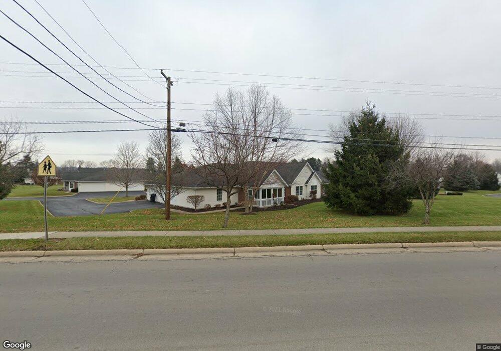
321 Chapman Way Unit 321 Mansfield, OH 44904
Estimated Value: $180,393 - $200,000
2
Beds
2
Baths
1,132
Sq Ft
$167/Sq Ft
Est. Value
About This Home
This home is located at 321 Chapman Way Unit 321, Mansfield, OH 44904 and is currently estimated at $188,598, approximately $166 per square foot. 321 Chapman Way Unit 321 is a home located in Richland County with nearby schools including Lexington High School, Grace Christian School, and Mansfield Seventh-day Adventist School.
Ownership History
Date
Name
Owned For
Owner Type
Purchase Details
Closed on
Aug 30, 2004
Sold by
Lexington Development Partners Llc
Bought by
Schaub Ronald W
Current Estimated Value
Home Financials for this Owner
Home Financials are based on the most recent Mortgage that was taken out on this home.
Original Mortgage
$70,000
Interest Rate
6.1%
Mortgage Type
Purchase Money Mortgage
Create a Home Valuation Report for This Property
The Home Valuation Report is an in-depth analysis detailing your home's value as well as a comparison with similar homes in the area
Home Values in the Area
Average Home Value in this Area
Purchase History
| Date | Buyer | Sale Price | Title Company |
|---|---|---|---|
| Schaub Ronald W | $100,500 | Lawyers Title |
Source: Public Records
Mortgage History
| Date | Status | Borrower | Loan Amount |
|---|---|---|---|
| Closed | Schaub Ronald W | $70,000 |
Source: Public Records
Tax History Compared to Growth
Tax History
| Year | Tax Paid | Tax Assessment Tax Assessment Total Assessment is a certain percentage of the fair market value that is determined by local assessors to be the total taxable value of land and additions on the property. | Land | Improvement |
|---|---|---|---|---|
| 2024 | $2,600 | $45,260 | $3,580 | $41,680 |
| 2023 | $2,476 | $45,260 | $3,580 | $41,680 |
| 2022 | $2,230 | $34,880 | $3,100 | $31,780 |
| 2021 | $2,237 | $34,880 | $3,100 | $31,780 |
| 2020 | $2,239 | $34,880 | $3,100 | $31,780 |
| 2019 | $2,074 | $29,560 | $2,630 | $26,930 |
| 2018 | $1,802 | $29,560 | $2,630 | $26,930 |
| 2017 | $1,813 | $29,560 | $2,630 | $26,930 |
| 2016 | $1,842 | $29,870 | $2,500 | $27,370 |
| 2015 | $1,842 | $29,870 | $2,500 | $27,370 |
| 2014 | $1,781 | $29,870 | $2,500 | $27,370 |
| 2012 | $889 | $31,440 | $2,630 | $28,810 |
Source: Public Records
Map
Nearby Homes
- 209 Hanover Rd
- 52 Mayfair Rd
- 183 Hanover Rd
- 306 Lexington Steam Corners Rd
- 57 Mayfair Rd
- 186 Oxford Rd
- 85 Essex Cir
- 154 W Main St
- 52 Kimberwick Rd
- 60 1st Ave
- 0 Crossbridge Ct
- 77 W Main St
- 77 Frederick St
- 45 Clever Ln
- 0 State Route 546 Unit 9069399
- 0 State Route 546 Unit 9069400
- 2871 Lexington Steam Corners Rd
- 2645 Fox Rd
- 0 Fox Rd
- 469 Cedarwood Dr
- 323 Chapman Way
- 319 Chapman Way Unit 319
- 324 Chapman Way Unit 324
- 317 Chapman Way Unit 317
- 290 Chapman Way Unit 290
- 326 Chapman Way Unit 326
- 333 Chapman Way Unit 333
- 292 Chapman Way Unit 292
- 297 Chapman Way Unit 297
- 295 Chapman Way
- 334 Chapman Way Unit 334
- 331 Chapman Way Unit 331
- 358 Chapman Way Unit 358
- 282 Chapman Way Unit 282
- 280 Chapman Way Unit 280
- 336 Chapman Way Unit 336
- 350 Chapman Way Unit 350
- 340 Chapman Way Unit 340
- 332 Chapman Way Unit 332
- 329 Chapman Way Unit 329