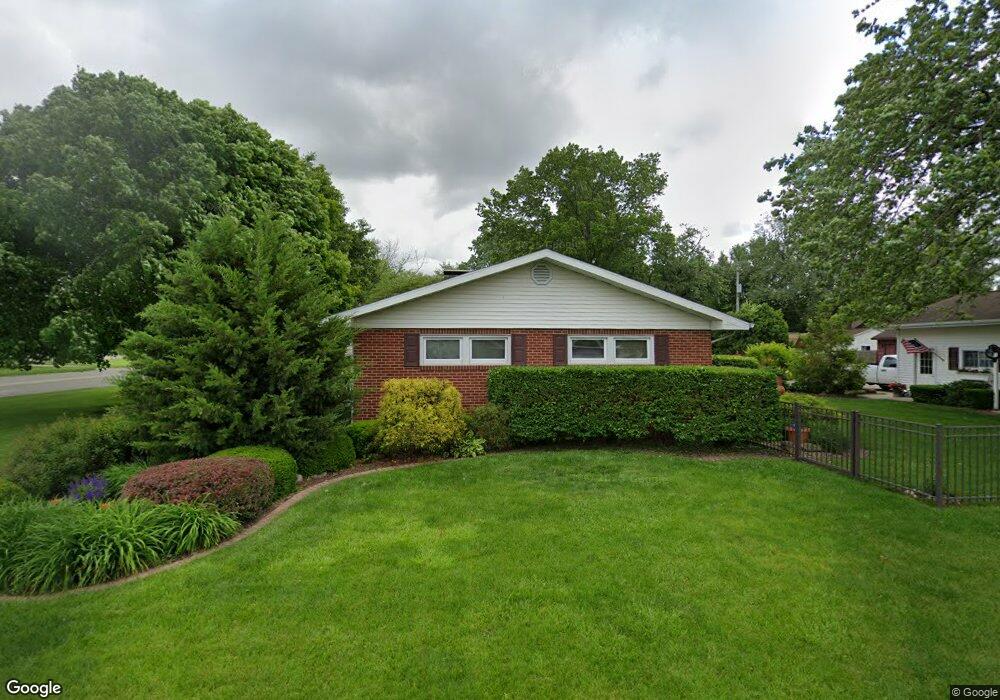
321 Charleston Ave Mattoon, IL 61938
Estimated Value: $172,000 - $223,000
2
Beds
1
Bath
1,427
Sq Ft
$134/Sq Ft
Est. Value
About This Home
This home is located at 321 Charleston Ave, Mattoon, IL 61938 and is currently estimated at $191,364, approximately $134 per square foot. 321 Charleston Ave is a home located in Coles County with nearby schools including Mattoon High School, St. John's Lutheran School, and St Mary School.
Ownership History
Date
Name
Owned For
Owner Type
Purchase Details
Closed on
Sep 7, 2010
Sold by
Armstrong Charles Michael
Bought by
Spence Jayne
Current Estimated Value
Home Financials for this Owner
Home Financials are based on the most recent Mortgage that was taken out on this home.
Original Mortgage
$60,000
Outstanding Balance
$20,299
Interest Rate
4.45%
Mortgage Type
New Conventional
Estimated Equity
$171,065
Create a Home Valuation Report for This Property
The Home Valuation Report is an in-depth analysis detailing your home's value as well as a comparison with similar homes in the area
Home Values in the Area
Average Home Value in this Area
Purchase History
| Date | Buyer | Sale Price | Title Company |
|---|---|---|---|
| Spence Jayne | $115,000 | None Available |
Source: Public Records
Mortgage History
| Date | Status | Borrower | Loan Amount |
|---|---|---|---|
| Open | Spence Jayne | $60,000 |
Source: Public Records
Tax History Compared to Growth
Tax History
| Year | Tax Paid | Tax Assessment Tax Assessment Total Assessment is a certain percentage of the fair market value that is determined by local assessors to be the total taxable value of land and additions on the property. | Land | Improvement |
|---|---|---|---|---|
| 2024 | $2,367 | $48,176 | $7,673 | $40,503 |
| 2023 | $2,447 | $43,402 | $6,913 | $36,489 |
| 2022 | $2,797 | $42,685 | $6,799 | $35,886 |
| 2021 | $2,689 | $38,455 | $6,045 | $32,410 |
| 2020 | $2,525 | $39,843 | $6,263 | $33,580 |
| 2019 | $3,038 | $38,455 | $6,045 | $32,410 |
| 2018 | $2,985 | $38,455 | $6,045 | $32,410 |
| 2017 | $2,579 | $34,090 | $6,045 | $28,045 |
| 2016 | $2,523 | $34,090 | $6,045 | $28,045 |
| 2015 | $2,446 | $33,421 | $5,926 | $27,495 |
| 2014 | $2,446 | $33,421 | $5,926 | $27,495 |
| 2013 | $2,446 | $33,421 | $5,926 | $27,495 |
Source: Public Records
Map
Nearby Homes
- 609 Lafayette Ave
- 720 Edgar Ave
- 801 Richmond Ave
- 613 S 7th St
- 909 Broadway Ave
- 705 Marion Ave
- 1001 Wabash Ave
- 421 Dewitt Ave
- 512 Dewitt Ave
- 1100 Marshall Ave
- 1120 Broadway Ave
- 1205 Champaign Ave
- 309 Essex Ave
- 1305 Marshall Ave
- 916 Piatt Ave
- 1021 Piatt Ave
- LOT 37 Broadmoor Edgewater
- 1509 Lafayette Ave
- 1412 Champaign Ave
- 817 N 11th St
- 317 Charleston Ave
- 320 Wabash Ave
- 401 Charleston Ave
- 316 Wabash Ave
- 312 Wabash Ave
- 301 Charleston Ave
- 400 Wabash Ave
- 308 Wabash Ave
- 400 Charleston Ave
- 409 Charleston Ave
- 320 Charleston Ave
- 404 Wabash Ave
- 312 Charleston Ave
- 413 Charleston Ave
- 300 Charleston Ave
- 300 Wabash Ave
- 412 Wabash Ave
- 412 Charleston Ave
- 421 Charleston Ave
- 221 Charleston Ave