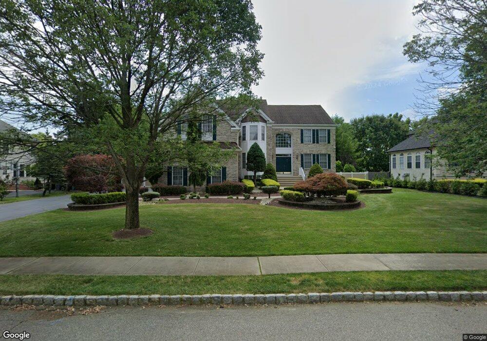
321 Congressional Dr Morganville, NJ 07751
Estimated Value: $1,416,552 - $1,524,000
5
Beds
3
Baths
3,707
Sq Ft
$403/Sq Ft
Est. Value
About This Home
This home is located at 321 Congressional Dr, Morganville, NJ 07751 and is currently estimated at $1,495,388, approximately $403 per square foot. 321 Congressional Dr is a home located in Monmouth County with nearby schools including Frank Defino Central Elementary School, Marlboro Memorial Middle School, and Marlboro High School.
Ownership History
Date
Name
Owned For
Owner Type
Purchase Details
Closed on
Sep 26, 2002
Sold by
Hovnanian K
Bought by
Waxman Alan and Koeler Claudia
Current Estimated Value
Home Financials for this Owner
Home Financials are based on the most recent Mortgage that was taken out on this home.
Original Mortgage
$300,000
Interest Rate
6.04%
Create a Home Valuation Report for This Property
The Home Valuation Report is an in-depth analysis detailing your home's value as well as a comparison with similar homes in the area
Home Values in the Area
Average Home Value in this Area
Purchase History
| Date | Buyer | Sale Price | Title Company |
|---|---|---|---|
| Waxman Alan | $602,161 | -- |
Source: Public Records
Mortgage History
| Date | Status | Borrower | Loan Amount |
|---|---|---|---|
| Previous Owner | Waxman Alan | $300,000 |
Source: Public Records
Tax History Compared to Growth
Tax History
| Year | Tax Paid | Tax Assessment Tax Assessment Total Assessment is a certain percentage of the fair market value that is determined by local assessors to be the total taxable value of land and additions on the property. | Land | Improvement |
|---|---|---|---|---|
| 2025 | $21,463 | $850,700 | $312,000 | $538,700 |
| 2024 | $20,536 | $850,700 | $312,000 | $538,700 |
| 2023 | $20,536 | $850,700 | $312,000 | $538,700 |
| 2022 | $19,957 | $850,700 | $312,000 | $538,700 |
| 2021 | $19,685 | $850,700 | $312,000 | $538,700 |
| 2020 | $19,668 | $850,700 | $312,000 | $538,700 |
| 2019 | $19,685 | $850,700 | $312,000 | $538,700 |
| 2018 | $19,345 | $850,700 | $312,000 | $538,700 |
| 2017 | $18,971 | $850,700 | $312,000 | $538,700 |
| 2016 | $18,894 | $850,700 | $312,000 | $538,700 |
| 2015 | $18,440 | $842,800 | $312,000 | $530,800 |
| 2014 | $16,807 | $759,800 | $262,000 | $497,800 |
Source: Public Records
Map
Nearby Homes
- 421 Georgetown Dr
- 30 Pleasant Valley Rd
- 16 Pleasant Valley Rd
- 193 Highway 79
- 157 Route 520
- 50 Shawnee Way
- 18 Egret Ln
- 138 Briarcliff Dr
- 220 Peacock Ln
- 222 Everton Blvd
- 219 Everton Blvd
- 1801 Wrangler Ave
- 680 - 21.04 County Road 520
- 680 - 21.1 County Road 520
- 680 - 21.21 County Road 520
- 680 County Road 520
- 680 - 21.15 County Road 520
- 680 - 21.19 County Road 520
- 680 - 21.11 County Road 520
- 680 - 21.12 County Road 520
- 319 Congressional Dr
- 323 Congressional Dr
- 316 Congressional Dr
- 325 Congressional Dr
- 318 Congressional Dr
- 317 Congressional Dr
- 320 Congressional Dr
- 314 Congressional Dr
- 315 Congressional Dr
- 322 Congressional Dr
- 403 Georgetown Dr
- 405 Georgetown Dr
- 312 Congressional Dr
- 407 Georgetown Dr
- 511 Presidents Way
- 310 Congressional Dr
- 409 Georgetown Dr
- 509 Presidents Way
- 510 Presidents Way
- 411 Georgetown Dr