Estimated Value: $325,725 - $398,000
3
Beds
2
Baths
1,816
Sq Ft
$200/Sq Ft
Est. Value
About This Home
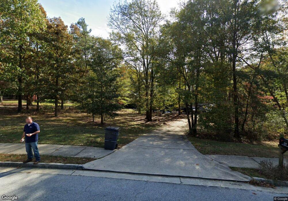
This home is located at 321 Cross Pointe Way, Hiram, GA 30141 and is currently estimated at $362,931, approximately $199 per square foot. 321 Cross Pointe Way is a home located in Paulding County with nearby schools including Bessie L. Baggett Elementary School, Irma C. Austin Middle School, and Hiram High School.
Ownership History
Date
Name
Owned For
Owner Type
Purchase Details
Closed on
Mar 31, 2004
Sold by
Turn Key Builders Inc
Bought by
Davis Gary E and Davis Bethanie
Current Estimated Value
Home Financials for this Owner
Home Financials are based on the most recent Mortgage that was taken out on this home.
Original Mortgage
$144,500
Interest Rate
5.53%
Mortgage Type
New Conventional
Create a Home Valuation Report for This Property
The Home Valuation Report is an in-depth analysis detailing your home's value as well as a comparison with similar homes in the area
Home Values in the Area
Average Home Value in this Area
Purchase History
| Date | Buyer | Sale Price | Title Company |
|---|---|---|---|
| Davis Gary E | $157,700 | -- |
Source: Public Records
Mortgage History
| Date | Status | Borrower | Loan Amount |
|---|---|---|---|
| Closed | Davis Gary E | $144,500 |
Source: Public Records
Tax History Compared to Growth
Tax History
| Year | Tax Paid | Tax Assessment Tax Assessment Total Assessment is a certain percentage of the fair market value that is determined by local assessors to be the total taxable value of land and additions on the property. | Land | Improvement |
|---|---|---|---|---|
| 2024 | $3,376 | $138,944 | $12,000 | $126,944 |
| 2023 | $3,369 | $131,760 | $12,000 | $119,760 |
| 2022 | $2,910 | $115,372 | $12,000 | $103,372 |
| 2021 | $2,884 | $103,324 | $12,000 | $91,324 |
| 2020 | $2,700 | $81,976 | $12,000 | $69,976 |
| 2019 | $2,422 | $73,704 | $12,000 | $61,704 |
| 2018 | $2,088 | $69,312 | $16,000 | $53,312 |
| 2016 | $1,908 | $64,976 | $16,000 | $48,976 |
| 2015 | $2,066 | $68,980 | $16,000 | $52,980 |
| 2014 | $1,961 | $63,992 | $16,000 | $47,992 |
| 2013 | -- | $52,240 | $16,000 | $36,240 |
Source: Public Records
Map
Nearby Homes
- 303 Cross Pointe Way Unit 1
- 347 Cross Pointe Way
- 54 Brandon Woods Cir
- 291 Cross Pointe Way Unit 1
- 0 Brandon Woods Cir Unit 8716608
- 0 Brandon Woods Cir Unit 7518519
- 0 Brandon Woods Cir Unit 3120634
- 0 Brandon Woods Cir Unit 8777616
- 0 Brandon Woods Cir Unit 8693588
- 0 Brandon Woods Cir Unit 8501909
- 0 Brandon Woods Cir Unit 3127421
- 0 Brandon Woods Cir Unit 8566768
- 0 Brandon Woods Cir Unit 8567399
- 66 Brandon Woods Cir
- 40 Brandon Woods Cir
- 778 Poole Bridge Rd Unit 1
- 377 Cross Pointe Way
- 798 Poole Bridge Rd Unit 1
- 72 Brandon Woods Cir
- 752 Poole Bridge Rd Unit 1