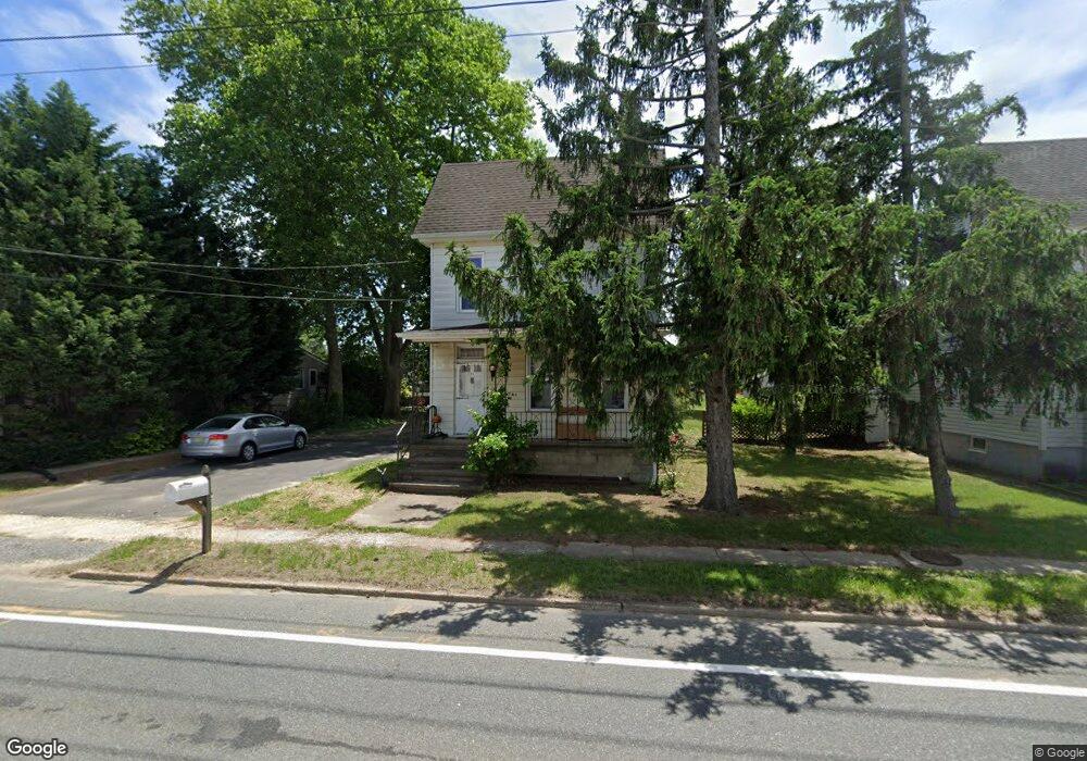
321 Crown Point Rd West Deptford, NJ 08086
West Deptford Township NeighborhoodEstimated Value: $237,971 - $313,000
--
Bed
--
Bath
1,512
Sq Ft
$185/Sq Ft
Est. Value
About This Home
This home is located at 321 Crown Point Rd, West Deptford, NJ 08086 and is currently estimated at $278,993, approximately $184 per square foot. 321 Crown Point Rd is a home located in Gloucester County with nearby schools including Red Bank Elementary School, Green-Fields Elementary School, and Oakview Elementary School.
Ownership History
Date
Name
Owned For
Owner Type
Purchase Details
Closed on
Feb 26, 2018
Sold by
Muloon Dawn G and The Estatwe Of William E Cocch
Bought by
Lamalfa Christopher F
Current Estimated Value
Home Financials for this Owner
Home Financials are based on the most recent Mortgage that was taken out on this home.
Original Mortgage
$112,818
Outstanding Balance
$99,100
Interest Rate
5.5%
Mortgage Type
FHA
Estimated Equity
$179,893
Create a Home Valuation Report for This Property
The Home Valuation Report is an in-depth analysis detailing your home's value as well as a comparison with similar homes in the area
Home Values in the Area
Average Home Value in this Area
Purchase History
| Date | Buyer | Sale Price | Title Company |
|---|---|---|---|
| Lamalfa Christopher F | $80,000 | None Available |
Source: Public Records
Mortgage History
| Date | Status | Borrower | Loan Amount |
|---|---|---|---|
| Open | Lamalfa Christopher F | $112,818 |
Source: Public Records
Tax History Compared to Growth
Tax History
| Year | Tax Paid | Tax Assessment Tax Assessment Total Assessment is a certain percentage of the fair market value that is determined by local assessors to be the total taxable value of land and additions on the property. | Land | Improvement |
|---|---|---|---|---|
| 2025 | $4,609 | $132,000 | $36,100 | $95,900 |
| 2024 | $4,550 | $132,000 | $36,100 | $95,900 |
| 2023 | $4,550 | $132,000 | $36,100 | $95,900 |
| 2022 | $4,529 | $132,000 | $36,100 | $95,900 |
| 2021 | $4,513 | $132,000 | $36,100 | $95,900 |
| 2020 | $4,503 | $132,000 | $36,100 | $95,900 |
| 2019 | $4,377 | $132,000 | $36,100 | $95,900 |
| 2018 | $4,258 | $132,000 | $36,100 | $95,900 |
| 2017 | $4,159 | $132,000 | $36,100 | $95,900 |
| 2016 | $3,793 | $132,000 | $36,100 | $95,900 |
| 2015 | $3,602 | $132,000 | $36,100 | $95,900 |
| 2014 | $3,410 | $132,000 | $36,100 | $95,900 |
Source: Public Records
Map
Nearby Homes
- 97 Church St
- 247 Crown Point Rd
- 433 Crown Point Rd
- 439 Crown Point Rd
- 64 Tilden Rd
- 47 Pelican Place Unit 47
- 67 Pelican Place
- 10 Kennedy Ct
- 232 Snowy Egret Ln
- 124 Brent Ct
- 253 Snowy Egret Ln
- 121 Cape May Ave
- 400 Audubon Ave
- 740 Carter Hill Dr
- 107 Audubon Ave
- 1810 Fernwood Dr
- 266 Passaic Ave
- 1311 Barnesdale Rd
- 640 Worcester Dr
- 863 Doncaster Dr
- 323 Crown Point Rd
- 325 Crown Point Rd
- 317 Crown Point Rd
- 85 Railroad Ave
- 87 Railroad Ave
- 86 Evergreen Ave
- 330 Crown Point Rd
- 00 Frederic Ct
- 0 New St Unit 1000358151
- L27-28 Essex Ave
- L:1 Overbrook Terrace
- 0 Treasure Ln Unit 1006705194
- 0 New St Unit 6972436
- 002 Shira Ct
- 001 Shira Ct
- 88 Evergreen Ave
- 332 Crown Point Rd
- 89 Railroad Ave
- 312 Crown Point Rd
- 82 Woodland Ave