321 Derr Island Rd Clark Fork, ID 83811
Estimated Value: $603,000 - $1,576,124
3
Beds
2
Baths
2,932
Sq Ft
$372/Sq Ft
Est. Value
About This Home
This home is located at 321 Derr Island Rd, Clark Fork, ID 83811 and is currently estimated at $1,089,562, approximately $371 per square foot. 321 Derr Island Rd is a home with nearby schools including Hope Elementary School and Clark Fork Junior/Senior High School.
Ownership History
Date
Name
Owned For
Owner Type
Purchase Details
Closed on
Dec 16, 2019
Sold by
Ruth Howard B
Bought by
Ruth Howard B and Revocable Living Trust Of Howard B Ruth
Current Estimated Value
Home Financials for this Owner
Home Financials are based on the most recent Mortgage that was taken out on this home.
Original Mortgage
$495,000
Outstanding Balance
$439,590
Interest Rate
3.7%
Mortgage Type
New Conventional
Estimated Equity
$649,972
Purchase Details
Closed on
Jun 29, 2018
Sold by
C & S Land Llc
Bought by
Johnson Christopher and Johnson Alyssa
Home Financials for this Owner
Home Financials are based on the most recent Mortgage that was taken out on this home.
Original Mortgage
$644,000
Interest Rate
4.55%
Purchase Details
Closed on
May 9, 2017
Sold by
Ruth Howard B
Bought by
Revocable Living Trust Of Howard B Ruth
Purchase Details
Closed on
Sep 20, 2013
Sold by
Benson Charles C and Benson Cynthia K
Bought by
Ruth Howard B
Create a Home Valuation Report for This Property
The Home Valuation Report is an in-depth analysis detailing your home's value as well as a comparison with similar homes in the area
Home Values in the Area
Average Home Value in this Area
Purchase History
| Date | Buyer | Sale Price | Title Company |
|---|---|---|---|
| Ruth Howard B | -- | Pioneer Title | |
| Johnson Christopher | -- | -- | |
| Revocable Living Trust Of Howard B Ruth | -- | None Available | |
| Ruth Howard B | -- | Sandpoint Title Insurance |
Source: Public Records
Mortgage History
| Date | Status | Borrower | Loan Amount |
|---|---|---|---|
| Open | Ruth Howard B | $495,000 | |
| Closed | Johnson Christopher | $644,000 | |
| Closed | Johnson Christopher | -- |
Source: Public Records
Tax History Compared to Growth
Tax History
| Year | Tax Paid | Tax Assessment Tax Assessment Total Assessment is a certain percentage of the fair market value that is determined by local assessors to be the total taxable value of land and additions on the property. | Land | Improvement |
|---|---|---|---|---|
| 2025 | $6,124 | $2,005,987 | $357,350 | $1,648,637 |
| 2024 | $5,602 | $1,648,330 | $357,350 | $1,290,980 |
| 2023 | $4,618 | $1,558,423 | $357,350 | $1,201,073 |
| 2022 | $5,831 | $1,511,350 | $331,350 | $1,180,000 |
| 2021 | $1,093 | $180,550 | $180,550 | $0 |
| 2020 | $1,172 | $180,550 | $180,550 | $0 |
| 2019 | $1,157 | $180,550 | $180,550 | $0 |
| 2018 | $1,157 | $165,300 | $165,300 | $0 |
| 2017 | $1,157 | $158,000 | $0 | $0 |
| 2016 | $1,192 | $158,000 | $0 | $0 |
| 2015 | -- | $158,000 | $0 | $0 |
| 2014 | -- | $145,000 | $0 | $0 |
Source: Public Records
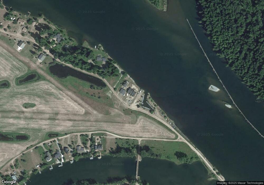
Map
Nearby Homes
- NNA Delta Shores Lot 12
- 60317 Idaho 200
- 53465 Idaho 200
- 102 E 2nd Ave
- 517 N Stephen St
- 517 and 555 N Stephen St
- 16 Elk Horn
- 11 Elk Horn Dr
- NKA Silver Creek Rd
- 241 N River Lake Dr
- 940 Sled Run Trail
- Lot 7 Sled Run Trail
- 1010 Mc Quade Gulch Dr
- 123 E Mountain View Rd
- NKA Wandering Wolf Ridge Lot 3
- 58250 Idaho 200
- 773 Cougar Loop
- NKA Condor Dr
- 2132 W Spring Creek Rd
- 0 Nka Tract 4 Unit 25-9928
- 333 Derr Island Rd
- Lot 4 Derr Island
- 391 Derr Island Rd
- NNA Apple Grove Ln
- Lot 4 Apple Grove Ln
- 160 Apple Grove Ln
- 547 Derr Island
- 206 Apple Grove Ln
- Lot 16 Island Shores
- 495 Derr Island Rd
- 230 Apple Grove Ln
- 242 Apple Grove Ln
- 0 Derr Island Rd
- NKA Derr Island Rd
- Lot 4 and 5 Derr Island Rd
- NNA Derr Island Rd
- Lot 13 Derr Island Rd
- Lot 4 & 5 Derr Island Rd
- Lot 5 Derr Island Rd
- Lots 4 & 5 Derr Island Rd