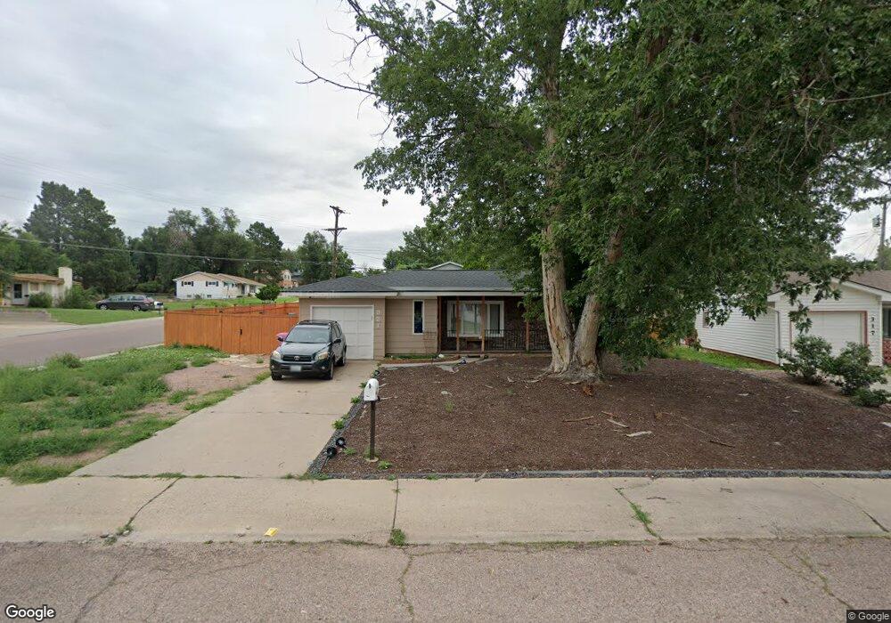
321 Doris Dr Colorado Springs, CO 80911
Security-Widefield NeighborhoodEstimated Value: $326,000 - $363,000
3
Beds
1
Bath
1,451
Sq Ft
$233/Sq Ft
Est. Value
About This Home
This home is located at 321 Doris Dr, Colorado Springs, CO 80911 and is currently estimated at $338,537, approximately $233 per square foot. 321 Doris Dr is a home located in El Paso County with nearby schools including Pinello Elementary School, Sproul Junior High School, and Widefield High School.
Ownership History
Date
Name
Owned For
Owner Type
Purchase Details
Closed on
Jun 13, 2019
Sold by
Roggie Steve and Roggie Debra
Bought by
Guajardo Nathanael
Current Estimated Value
Home Financials for this Owner
Home Financials are based on the most recent Mortgage that was taken out on this home.
Original Mortgage
$255,375
Outstanding Balance
$224,537
Interest Rate
4.1%
Mortgage Type
VA
Estimated Equity
$114,000
Purchase Details
Closed on
Jan 10, 2019
Sold by
Hill Max E
Bought by
Roggie Steve and Roggie Debra
Create a Home Valuation Report for This Property
The Home Valuation Report is an in-depth analysis detailing your home's value as well as a comparison with similar homes in the area
Home Values in the Area
Average Home Value in this Area
Purchase History
| Date | Buyer | Sale Price | Title Company |
|---|---|---|---|
| Guajardo Nathanael | $250,000 | Empire Title Co Springs Llc | |
| Roggie Steve | $170,250 | Unified Title Co |
Source: Public Records
Mortgage History
| Date | Status | Borrower | Loan Amount |
|---|---|---|---|
| Open | Guajardo Nathanael | $255,375 |
Source: Public Records
Tax History Compared to Growth
Tax History
| Year | Tax Paid | Tax Assessment Tax Assessment Total Assessment is a certain percentage of the fair market value that is determined by local assessors to be the total taxable value of land and additions on the property. | Land | Improvement |
|---|---|---|---|---|
| 2025 | $1,587 | $25,170 | -- | -- |
| 2024 | $1,529 | $25,120 | $4,020 | $21,100 |
| 2023 | $1,529 | $25,120 | $4,020 | $21,100 |
| 2022 | $1,350 | $18,080 | $2,780 | $15,300 |
| 2021 | $1,456 | $18,600 | $2,860 | $15,740 |
| 2020 | $1,370 | $17,010 | $2,500 | $14,510 |
| 2019 | $806 | $10,060 | $2,500 | $7,560 |
| 2018 | $359 | $8,360 | $1,870 | $6,490 |
| 2017 | $363 | $8,360 | $1,870 | $6,490 |
| 2016 | $291 | $8,180 | $1,990 | $6,190 |
| 2015 | $298 | $8,180 | $1,990 | $6,190 |
| 2014 | $271 | $7,460 | $1,790 | $5,670 |
Source: Public Records
Map
Nearby Homes