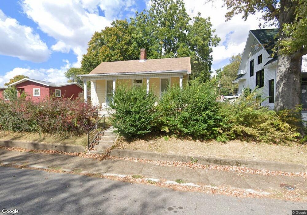
321 E 10th St Mount Vernon, IN 47620
Estimated Value: $93,000 - $138,844
2
Beds
1
Bath
1,212
Sq Ft
$99/Sq Ft
Est. Value
About This Home
This home is located at 321 E 10th St, Mount Vernon, IN 47620 and is currently estimated at $119,711, approximately $98 per square foot. 321 E 10th St is a home located in Posey County with nearby schools including Mount Vernon Junior High School, Mount Vernon High School, and St. Matthew Elementary School.
Ownership History
Date
Name
Owned For
Owner Type
Purchase Details
Closed on
Jun 28, 2019
Sold by
Livin Suits Beverly E and Livin Martha E Gerth Revocable
Bought by
Patrick Charles William
Current Estimated Value
Home Financials for this Owner
Home Financials are based on the most recent Mortgage that was taken out on this home.
Original Mortgage
$52,250
Outstanding Balance
$40,317
Interest Rate
4%
Mortgage Type
New Conventional
Estimated Equity
$79,394
Create a Home Valuation Report for This Property
The Home Valuation Report is an in-depth analysis detailing your home's value as well as a comparison with similar homes in the area
Home Values in the Area
Average Home Value in this Area
Purchase History
| Date | Buyer | Sale Price | Title Company |
|---|---|---|---|
| Patrick Charles William | -- | None Available |
Source: Public Records
Mortgage History
| Date | Status | Borrower | Loan Amount |
|---|---|---|---|
| Open | Patrick Charles William | $52,250 |
Source: Public Records
Tax History
| Year | Tax Paid | Tax Assessment Tax Assessment Total Assessment is a certain percentage of the fair market value that is determined by local assessors to be the total taxable value of land and additions on the property. | Land | Improvement |
|---|---|---|---|---|
| 2024 | $575 | $66,300 | $10,800 | $55,500 |
| 2023 | $476 | $56,900 | $10,800 | $46,100 |
| 2022 | $383 | $54,000 | $10,800 | $43,200 |
| 2021 | $348 | $49,100 | $10,800 | $38,300 |
| 2020 | $366 | $50,000 | $10,500 | $39,500 |
| 2019 | $7 | $48,700 | $10,500 | $38,200 |
| 2018 | $0 | $47,500 | $10,500 | $37,000 |
| 2017 | $178 | $54,500 | $10,500 | $44,000 |
| 2016 | $186 | $55,500 | $10,500 | $45,000 |
| 2014 | $159 | $52,600 | $10,500 | $42,100 |
| 2013 | $159 | $57,400 | $13,900 | $43,500 |
Source: Public Records
Map
Nearby Homes
- 325 E 10th St
- 325 E 10th St
- 317 E 10th St
- 1002 Mulberry St
- 1029 Locust St
- 930 Mulberry St
- 324 E 10th St
- 320 E 10th St
- 328 E 10th St
- 926 Mulberry St
- 403 E 10th St
- 924 Mulberry St
- 1000 Locust St
- 918 Mulberry St
- 411 E 10th St
- 229 E 10th St
- 1015 Mulberry St
- 1017 Mulberry St
- 412 E 10th St
- 912 Mulberry St
Your Personal Tour Guide
Ask me questions while you tour the home.