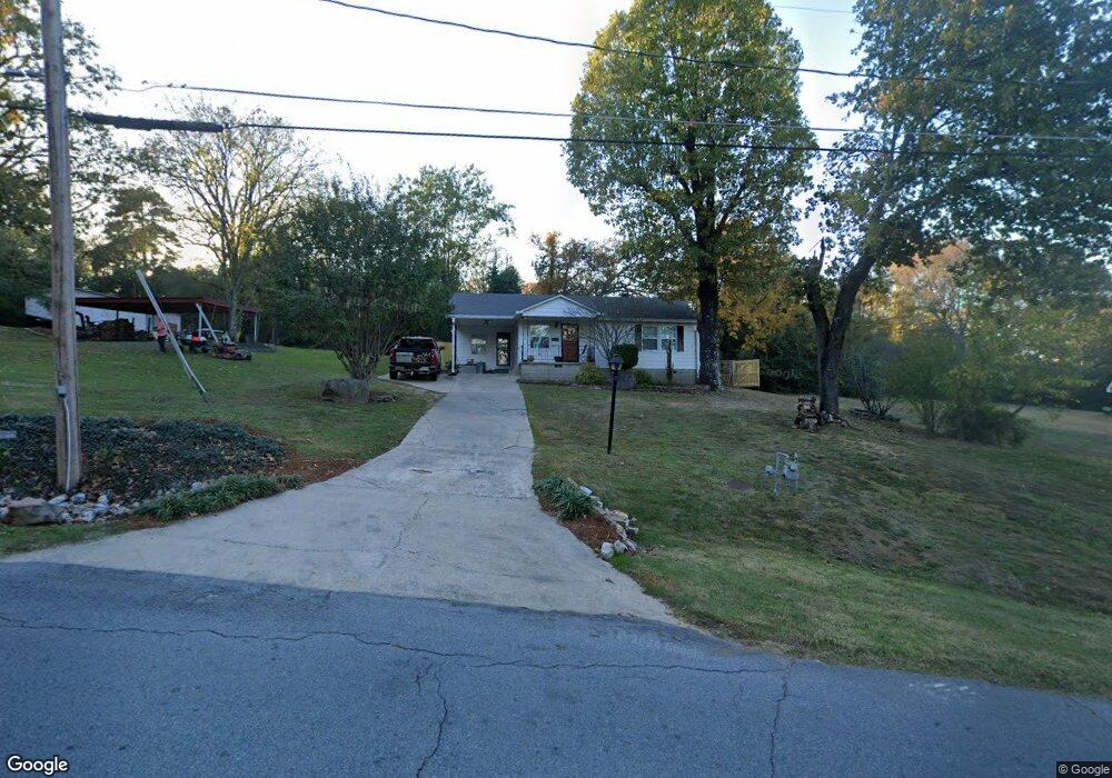
321 E Lee Ave Sherwood, AR 72120
Estimated Value: $123,000 - $152,000
--
Bed
1
Bath
1,032
Sq Ft
$130/Sq Ft
Est. Value
About This Home
This home is located at 321 E Lee Ave, Sherwood, AR 72120 and is currently estimated at $134,404, approximately $130 per square foot. 321 E Lee Ave is a home located in Pulaski County with nearby schools including Sherwood Elementary School, Sylvan Hills Middle School, and Sylvan Hills High School.
Ownership History
Date
Name
Owned For
Owner Type
Purchase Details
Closed on
Jan 15, 2021
Sold by
Ward Allison and Ward Matthew
Bought by
Marshall Steven and Marshall Jill
Current Estimated Value
Purchase Details
Closed on
Aug 20, 2015
Sold by
Middlebrook Emo Gean and Middlebrook Emogean
Bought by
Marshall Steven P and Marshall Jill K
Home Financials for this Owner
Home Financials are based on the most recent Mortgage that was taken out on this home.
Original Mortgage
$173,439
Interest Rate
4.08%
Mortgage Type
Construction
Purchase Details
Closed on
Nov 9, 1957
Bought by
Middlebrook Jack Calvin and Middlebrook Gene
Create a Home Valuation Report for This Property
The Home Valuation Report is an in-depth analysis detailing your home's value as well as a comparison with similar homes in the area
Home Values in the Area
Average Home Value in this Area
Purchase History
| Date | Buyer | Sale Price | Title Company |
|---|---|---|---|
| Marshall Steven | $11,500 | Beach Abstract & Guaranty Co | |
| Marshall Steven P | $86,000 | Attorney | |
| Middlebrook Jack Calvin | $8,000 | -- |
Source: Public Records
Mortgage History
| Date | Status | Borrower | Loan Amount |
|---|---|---|---|
| Previous Owner | Marshall Steven P | $173,439 |
Source: Public Records
Tax History Compared to Growth
Tax History
| Year | Tax Paid | Tax Assessment Tax Assessment Total Assessment is a certain percentage of the fair market value that is determined by local assessors to be the total taxable value of land and additions on the property. | Land | Improvement |
|---|---|---|---|---|
| 2025 | $1,086 | $21,511 | $4,140 | $17,371 |
| 2024 | $995 | $21,511 | $4,140 | $17,371 |
| 2023 | $995 | $21,511 | $4,140 | $17,371 |
| 2022 | $1,068 | $21,511 | $4,140 | $17,371 |
| 2021 | $996 | $17,360 | $4,050 | $13,310 |
| 2020 | $616 | $17,360 | $4,050 | $13,310 |
| 2019 | $616 | $17,360 | $4,050 | $13,310 |
| 2018 | $641 | $17,360 | $4,050 | $13,310 |
| 2017 | $634 | $17,360 | $4,050 | $13,310 |
| 2016 | $951 | $16,720 | $4,140 | $12,580 |
| 2015 | $448 | $8,825 | $4,140 | $4,685 |
| 2014 | $448 | $8,825 | $4,140 | $4,685 |
Source: Public Records
Map
Nearby Homes
- 208 E Kiehl Ave Unit out parcel
- 135 W Lee Ave
- 00 E Kiehl Ave
- 701 Club Rd
- 125 Almond Cove
- 8109 Oak Ridge Rd
- 7625 Highway 107
- 8320 Holiday Dr
- 4690 Hollyridge Cove
- 2410 Crown Ct
- 59 Wesley Dr
- 8602 Patricia Lynn Ln
- 9125 Woodbine St
- 7605 Toltec Dr
- 1109 Brice Rd
- 4636 Brandywine Cove
- 7901 Coleridge Dr
- 7909 Coleridge Dr
- 104 Mayfair Cove
- 8100 Coleridge Dr