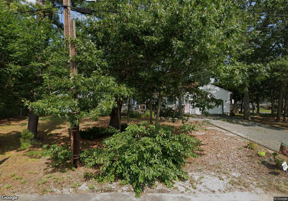
321 Eleanor Rd Forked River, NJ 08731
Estimated Value: $505,402 - $567,000
4
Beds
2
Baths
1,884
Sq Ft
$282/Sq Ft
Est. Value
About This Home
This home is located at 321 Eleanor Rd, Forked River, NJ 08731 and is currently estimated at $530,351, approximately $281 per square foot. 321 Eleanor Rd is a home located in Ocean County with nearby schools including Lacey Township High School.
Ownership History
Date
Name
Owned For
Owner Type
Purchase Details
Closed on
Mar 3, 2010
Sold by
Dean Mary Pat
Current Estimated Value
Home Financials for this Owner
Home Financials are based on the most recent Mortgage that was taken out on this home.
Original Mortgage
$230,972
Outstanding Balance
$153,389
Interest Rate
5.02%
Mortgage Type
FHA
Estimated Equity
$376,962
Purchase Details
Closed on
Feb 12, 2007
Sold by
Davies Harold and Davies Dawn
Bought by
Dean Mary Pat
Purchase Details
Closed on
Aug 22, 2002
Sold by
Garthe John
Bought by
Adams Sean
Home Financials for this Owner
Home Financials are based on the most recent Mortgage that was taken out on this home.
Original Mortgage
$126,000
Interest Rate
6.27%
Create a Home Valuation Report for This Property
The Home Valuation Report is an in-depth analysis detailing your home's value as well as a comparison with similar homes in the area
Home Values in the Area
Average Home Value in this Area
Purchase History
| Date | Buyer | Sale Price | Title Company |
|---|---|---|---|
| -- | -- | New Jersey Title Ins Company | |
| Dean Mary Pat | $260,000 | First American Title Ins Co | |
| Adams Sean | $140,000 | -- |
Source: Public Records
Mortgage History
| Date | Status | Borrower | Loan Amount |
|---|---|---|---|
| Open | -- | $230,972 | |
| Previous Owner | Adams Sean | $126,000 |
Source: Public Records
Tax History
| Year | Tax Paid | Tax Assessment Tax Assessment Total Assessment is a certain percentage of the fair market value that is determined by local assessors to be the total taxable value of land and additions on the property. | Land | Improvement |
|---|---|---|---|---|
| 2025 | $7,231 | $264,400 | $103,500 | $160,900 |
| 2024 | $6,264 | $264,400 | $103,500 | $160,900 |
| 2023 | $5,983 | $264,400 | $103,500 | $160,900 |
| 2022 | $5,983 | $264,400 | $103,500 | $160,900 |
| 2021 | $5,883 | $264,400 | $103,500 | $160,900 |
| 2020 | $5,695 | $264,400 | $103,500 | $160,900 |
| 2019 | $5,595 | $264,400 | $103,500 | $160,900 |
| 2018 | $5,529 | $264,400 | $103,500 | $160,900 |
| 2017 | $5,402 | $264,400 | $103,500 | $160,900 |
| 2016 | $5,381 | $264,400 | $103,500 | $160,900 |
| 2015 | $5,140 | $264,400 | $103,500 | $160,900 |
| 2014 | $5,045 | $293,300 | $133,500 | $159,800 |
Source: Public Records
Map
Nearby Homes
- 304 Shepard Ave
- 464 Penn Ave N
- 105 Shodda St
- 321 Letts Ave
- 240 Wainwright St
- 00 Lacey Rd
- 502 Cyprus Ct
- 703 Cyprus Ct
- 406 Cyprus Ct
- 000 Elwood St
- 23 Penn Place
- 504 Devoe Ave
- 534 Holmes Ave N
- 576 Vaughn Ave
- 636 Chelsea St
- 1030 Elwood St
- 510 Oak Hill Ct
- 0 Lakeside Dr S Unit 22601319
- 653 Elwood St
- 3 Easy St
Your Personal Tour Guide
Ask me questions while you tour the home.