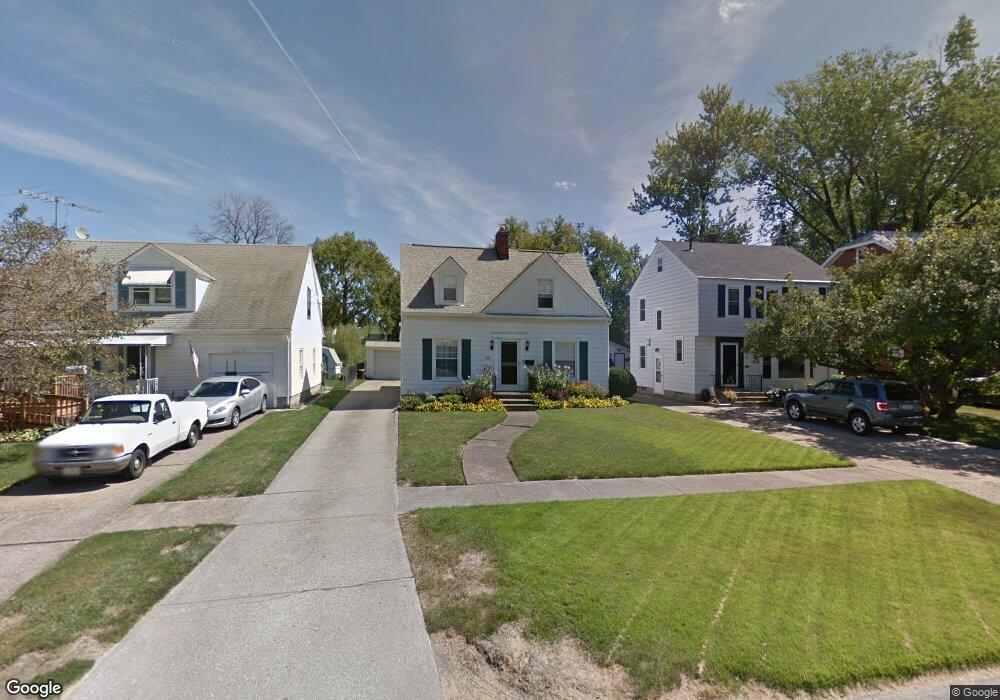
321 Euclid Ave Lorain, OH 44052
Estimated Value: $157,804 - $197,000
3
Beds
2
Baths
1,626
Sq Ft
$112/Sq Ft
Est. Value
About This Home
This home is located at 321 Euclid Ave, Lorain, OH 44052 and is currently estimated at $182,201, approximately $112 per square foot. 321 Euclid Ave is a home located in Lorain County with nearby schools including Larkmoor Elementary School, Longfellow Middle School, and Lorain High School.
Ownership History
Date
Name
Owned For
Owner Type
Purchase Details
Closed on
Jul 21, 2022
Sold by
Pyrda Regina D
Bought by
Pyrda Katherine R
Current Estimated Value
Home Financials for this Owner
Home Financials are based on the most recent Mortgage that was taken out on this home.
Original Mortgage
$100,000
Outstanding Balance
$95,253
Interest Rate
5.23%
Mortgage Type
New Conventional
Estimated Equity
$86,948
Purchase Details
Closed on
Feb 28, 2007
Sold by
Bomback Elizabeth A
Bought by
Pyrda Regina D
Home Financials for this Owner
Home Financials are based on the most recent Mortgage that was taken out on this home.
Original Mortgage
$106,200
Interest Rate
6.27%
Mortgage Type
Purchase Money Mortgage
Create a Home Valuation Report for This Property
The Home Valuation Report is an in-depth analysis detailing your home's value as well as a comparison with similar homes in the area
Home Values in the Area
Average Home Value in this Area
Purchase History
| Date | Buyer | Sale Price | Title Company |
|---|---|---|---|
| Pyrda Katherine R | $100,000 | Noland Szabo Co Lpa | |
| Pyrda Regina D | $125,000 | First American |
Source: Public Records
Mortgage History
| Date | Status | Borrower | Loan Amount |
|---|---|---|---|
| Open | Pyrda Katherine R | $100,000 | |
| Previous Owner | Pyrda Regina D | $106,200 |
Source: Public Records
Tax History Compared to Growth
Tax History
| Year | Tax Paid | Tax Assessment Tax Assessment Total Assessment is a certain percentage of the fair market value that is determined by local assessors to be the total taxable value of land and additions on the property. | Land | Improvement |
|---|---|---|---|---|
| 2024 | $2,134 | $51,762 | $7,515 | $44,247 |
| 2023 | $1,935 | $37,576 | $9,524 | $28,053 |
| 2022 | $1,918 | $37,576 | $9,524 | $28,053 |
| 2021 | $1,918 | $37,576 | $9,524 | $28,053 |
| 2020 | $1,784 | $30,350 | $7,690 | $22,660 |
| 2019 | $1,774 | $30,350 | $7,690 | $22,660 |
| 2018 | $1,774 | $30,350 | $7,690 | $22,660 |
| 2017 | $1,859 | $29,980 | $6,680 | $23,300 |
| 2016 | $1,844 | $29,980 | $6,680 | $23,300 |
| 2015 | $1,739 | $29,980 | $6,680 | $23,300 |
| 2014 | $1,735 | $29,980 | $6,680 | $23,300 |
| 2013 | $1,722 | $29,980 | $6,680 | $23,300 |
Source: Public Records
Map
Nearby Homes
- 2927 N Jefferson Blvd
- 319 Concord Dr
- 2919 E Erie Ave
- 3031 E Erie Ave
- 3119 E Erie Ave
- 805 Euclid Ave
- 3251 Cleveland Blvd
- 2625 E Erie Ave
- 2817 Mckinley St
- 0 Root Rd
- 2235 E Erie Ave
- 2612 Larkmoor St
- 2637 Jackson St
- 2279 Adams St
- 1330 Pennsylvania Ave
- 0 Eastlawn St Unit 5106705
- 2922 Eastlawn St
- 0 New Hampshire Ave
- 0 New Hampshire Ave
- 1273 Michigan Ave