321 Everson Rd Everson, WA 98247
Estimated Value: $1,093,000
6
Beds
2
Baths
18,420
Sq Ft
$59/Sq Ft
Est. Value
About This Home
This home is located at 321 Everson Rd, Everson, WA 98247 and is currently estimated at $1,093,000, approximately $59 per square foot. 321 Everson Rd is a home located in Whatcom County with nearby schools including Everson Elementary School, Nooksack Elementary School, and Sumas Elementary School.
Ownership History
Date
Name
Owned For
Owner Type
Purchase Details
Closed on
Jan 10, 2011
Sold by
Scheenstra Bill T and Scheenstra Judy K
Bought by
Jbs Rental Properties Llc
Current Estimated Value
Create a Home Valuation Report for This Property
The Home Valuation Report is an in-depth analysis detailing your home's value as well as a comparison with similar homes in the area
Home Values in the Area
Average Home Value in this Area
Purchase History
| Date | Buyer | Sale Price | Title Company |
|---|---|---|---|
| Jbs Rental Properties Llc | -- | None Available |
Source: Public Records
Tax History
| Year | Tax Paid | Tax Assessment Tax Assessment Total Assessment is a certain percentage of the fair market value that is determined by local assessors to be the total taxable value of land and additions on the property. | Land | Improvement |
|---|---|---|---|---|
| 2025 | $9,989 | $1,182,479 | $328,987 | $853,492 |
| 2024 | $6,486 | $1,169,734 | $316,242 | $853,492 |
| 2023 | $6,486 | $876,099 | $252,208 | $623,891 |
| 2022 | $7,418 | $876,099 | $252,208 | $623,891 |
| 2021 | $7,664 | $819,332 | $235,866 | $583,466 |
| 2020 | $7,363 | $597,625 | $67,215 | $530,410 |
| 2019 | $6,338 | $744,828 | $214,418 | $530,410 |
| 2018 | $7,394 | $580,952 | $65,340 | $515,612 |
| 2017 | $9,200 | $506,333 | $54,450 | $451,883 |
| 2016 | $9,160 | $653,671 | $57,826 | $595,845 |
| 2015 | $7,571 | $653,671 | $57,826 | $595,845 |
| 2014 | -- | $0 | $0 | $0 |
| 2013 | -- | $0 | $0 | $0 |
Source: Public Records
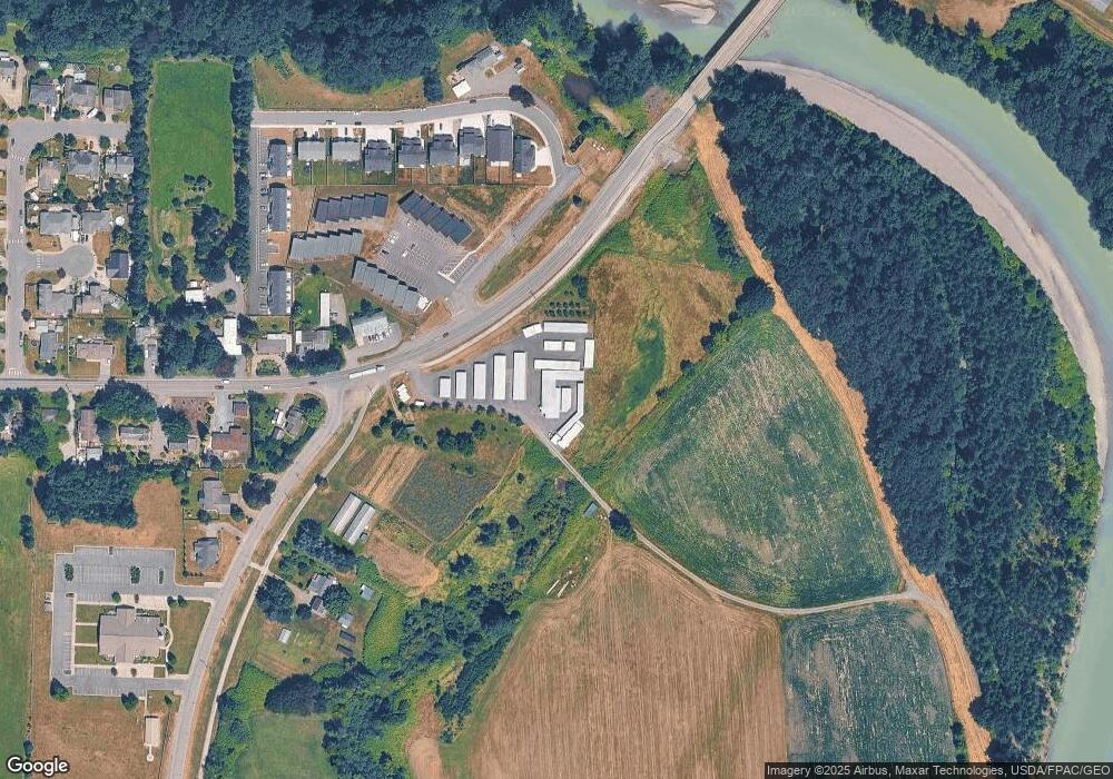
Map
Nearby Homes
- 0 Walnut Grove Ct
- 107 River St
- 616 Strandell St
- 408 W 3rd St
- 416 W 3rd St
- 108 Baker St Unit 1-4
- 207 E Main St
- 409 W 4th St
- 702 N Washington St
- 800 Cedar Dr
- 107 Thendara Park Dr Unit C
- 809 Pine Crest Dr
- 1005 Night Hawk Way
- 1203 Red Tail Ct
- 109 W 2nd St
- 1302 Night Hawk Way
- 304 W 3rd St
- 308 W 3rd St
- 404 W 3rd St
- 412 W 3rd St
- 310 Old Everson Rd
- 0 Old Everson Rd
- 501 Colton Ln
- 400 Kale St
- 0 XXX Colton (Lot 10) Ln
- 513 Colton Ln
- 102 Kale St
- 517 Colton Ln Unit A
- 517 Colton Ln
- 0 XXX Colton (Lot 2) Ln
- 104 Kale St
- 310 Everson Rd
- 310 Everson Rd
- 210 Old Everson Rd
- 316 Everson Rd Unit D
- 0 XXX Colton (Lot 11) Ln
- 0 XXX Colton (Lot 5) Ln
- 0 XXX Colton (Lot 7) Ln
- 0 XXX Colton (Lot 3) Ln
- 0 XXX Colton (Lot 6) Ln
Your Personal Tour Guide
Ask me questions while you tour the home.