321 Flyway Rd Goose Creek, SC 29445
Estimated Value: $257,000 - $277,000
3
Beds
3
Baths
1,611
Sq Ft
$166/Sq Ft
Est. Value
About This Home
This home is located at 321 Flyway Rd, Goose Creek, SC 29445 and is currently estimated at $266,956, approximately $165 per square foot. 321 Flyway Rd is a home located in Berkeley County with nearby schools including Mount Holly Elementary, Sedgefield Middle School, and Goose Creek High School.
Ownership History
Date
Name
Owned For
Owner Type
Purchase Details
Closed on
Jun 17, 2016
Sold by
Mccarley Lelia M and Wells Fargo Bank Na
Bought by
Area South Carolina Llc
Current Estimated Value
Purchase Details
Closed on
Dec 19, 2007
Sold by
Centex Homes
Bought by
Mccarley Lelia M
Home Financials for this Owner
Home Financials are based on the most recent Mortgage that was taken out on this home.
Original Mortgage
$139,779
Interest Rate
6.21%
Mortgage Type
VA
Create a Home Valuation Report for This Property
The Home Valuation Report is an in-depth analysis detailing your home's value as well as a comparison with similar homes in the area
Home Values in the Area
Average Home Value in this Area
Purchase History
| Date | Buyer | Sale Price | Title Company |
|---|---|---|---|
| Area South Carolina Llc | $104,500 | None Available | |
| Mccarley Lelia M | $139,779 | None Available |
Source: Public Records
Mortgage History
| Date | Status | Borrower | Loan Amount |
|---|---|---|---|
| Previous Owner | Mccarley Lelia M | $139,779 |
Source: Public Records
Tax History Compared to Growth
Tax History
| Year | Tax Paid | Tax Assessment Tax Assessment Total Assessment is a certain percentage of the fair market value that is determined by local assessors to be the total taxable value of land and additions on the property. | Land | Improvement |
|---|---|---|---|---|
| 2025 | $2,974 | $167,900 | $24,967 | $142,933 |
| 2024 | $2,974 | $10,074 | $1,498 | $8,576 |
| 2023 | $2,974 | $10,074 | $1,498 | $8,576 |
| 2022 | $2,813 | $8,760 | $1,320 | $7,440 |
| 2021 | $2,885 | $8,760 | $1,320 | $7,440 |
| 2020 | $2,823 | $8,760 | $1,320 | $7,440 |
| 2019 | $2,776 | $8,760 | $1,320 | $7,440 |
| 2018 | $2,714 | $8,088 | $1,200 | $6,888 |
| 2017 | $2,708 | $8,088 | $1,200 | $6,888 |
| 2016 | $712 | $7,330 | $1,200 | $6,130 |
| 2015 | $676 | $3,780 | $800 | $2,980 |
| 2014 | $628 | $3,780 | $800 | $2,980 |
| 2013 | -- | $3,780 | $800 | $2,980 |
Source: Public Records
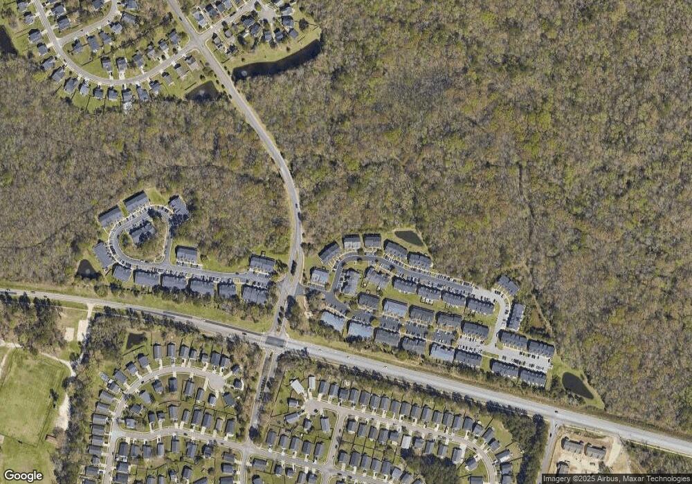
Map
Nearby Homes
- 126 Woodward Rd
- 338 Flyway Rd
- 141 Woodward Rd
- 315 Flyway Rd
- 380 Flyway Rd
- 192 Woodward Rd
- 00 Liberty Hall Rd
- 346 Briarbend Rd
- 339 Briarbend Rd
- 000 Liberty Hall Rd
- 300 Burton Ct
- 105 Lovette Ct
- 300 Greens Ct
- 407 Green Park Ln
- 18 Teaneck Rd
- 116 Slow Mill Dr
- 30 Bonnie Burn Rd
- 37 Delaware Rd
- 20 Bonnie Burn Rd
- 106 Cordoba Ct
- 323 Flyway Rd
- 323 Flyway Rd Unit 11
- 319 Flyway Rd
- 325 Flyway Rd
- 325 Flyway Rd Unit 12
- 315 315 Flyway Rd
- 317 Flyway Rd
- 327 Flyway Rd
- 327 Flyway Rd Unit 13
- 315 Flyway Rd
- 329 Flyway Rd Unit 14
- 313 Flyway Rd
- 331 Flyway Rd
- 331 Flyway Rd Unit 15
- 311 Flyway Rd
- 333 Flyway Rd
- 333 Flyway Rd Unit 16
- 308 Flyway Rd
- 335 Flyway Rd
- 335 Flyway Rd