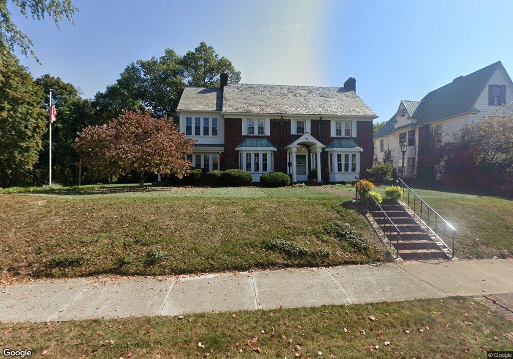
321 Gill Ave Galion, OH 44833
Estimated Value: $189,000 - $272,000
4
Beds
3
Baths
3,164
Sq Ft
$73/Sq Ft
Est. Value
About This Home
This home is located at 321 Gill Ave, Galion, OH 44833 and is currently estimated at $230,931, approximately $72 per square foot. 321 Gill Ave is a home located in Crawford County with nearby schools including Galion Primary School, Galion Intermediate School, and Galion Middle School.
Ownership History
Date
Name
Owned For
Owner Type
Purchase Details
Closed on
Oct 29, 2010
Sold by
Fannie Mae
Bought by
Perkins Katherine and Perkins Benjamin
Current Estimated Value
Home Financials for this Owner
Home Financials are based on the most recent Mortgage that was taken out on this home.
Original Mortgage
$81,600
Interest Rate
4.82%
Mortgage Type
New Conventional
Purchase Details
Closed on
Apr 6, 2007
Sold by
Manthey William C and Manthey Wilda W
Bought by
Grueber Christopher J
Home Financials for this Owner
Home Financials are based on the most recent Mortgage that was taken out on this home.
Original Mortgage
$150,000
Interest Rate
6.19%
Mortgage Type
New Conventional
Purchase Details
Closed on
Aug 24, 2006
Sold by
Manthey William C and Manthey
Bought by
Manthey William C and Manthey
Purchase Details
Closed on
Dec 7, 2004
Bought by
Grueber Christopher J
Create a Home Valuation Report for This Property
The Home Valuation Report is an in-depth analysis detailing your home's value as well as a comparison with similar homes in the area
Home Values in the Area
Average Home Value in this Area
Purchase History
| Date | Buyer | Sale Price | Title Company |
|---|---|---|---|
| Perkins Katherine | $102,000 | Ohio Title Corp | |
| Grueber Christopher J | $150,000 | -- | |
| Manthey William C | -- | -- | |
| Grueber Christopher J | $150,000 | -- |
Source: Public Records
Mortgage History
| Date | Status | Borrower | Loan Amount |
|---|---|---|---|
| Open | Perkins Katherine | $10,200 | |
| Previous Owner | Perkins Katherine | $81,600 | |
| Previous Owner | Grueber Christopher J | $150,000 |
Source: Public Records
Tax History Compared to Growth
Tax History
| Year | Tax Paid | Tax Assessment Tax Assessment Total Assessment is a certain percentage of the fair market value that is determined by local assessors to be the total taxable value of land and additions on the property. | Land | Improvement |
|---|---|---|---|---|
| 2024 | $2,942 | $85,330 | $4,110 | $81,220 |
| 2023 | $2,942 | $39,790 | $3,540 | $36,250 |
| 2022 | $1,751 | $39,790 | $3,540 | $36,250 |
| 2021 | $1,796 | $39,790 | $3,540 | $36,250 |
| 2020 | $1,618 | $34,960 | $3,540 | $31,420 |
| 2019 | $1,665 | $34,960 | $3,540 | $31,420 |
| 2018 | $1,663 | $34,960 | $3,540 | $31,420 |
| 2017 | $1,357 | $27,390 | $3,540 | $23,850 |
| 2016 | $1,310 | $27,390 | $3,540 | $23,850 |
| 2015 | $1,308 | $27,390 | $3,540 | $23,850 |
| 2014 | $1,333 | $27,390 | $3,540 | $23,850 |
| 2013 | $1,333 | $27,390 | $3,540 | $23,850 |
Source: Public Records
Map
Nearby Homes
- 418 Gill Ave
- 145 N Union St
- 401 N Union St
- 147 Erie St
- 136 Orange St
- 0 Ohio 598
- 678 Park Ave
- 323 E Payne Ave
- 337 Grove Ave
- 341 Grove Ave
- 359 S Market St
- 438 Mackey St
- 239 South St
- 134 N Riblet St
- 898 Fairview Ave
- 890 Portland Way N
- 229 E Parson St
- 332 E Parson St
- 453 S Pierce St
- 000 Buehler St Unit Parcel 1