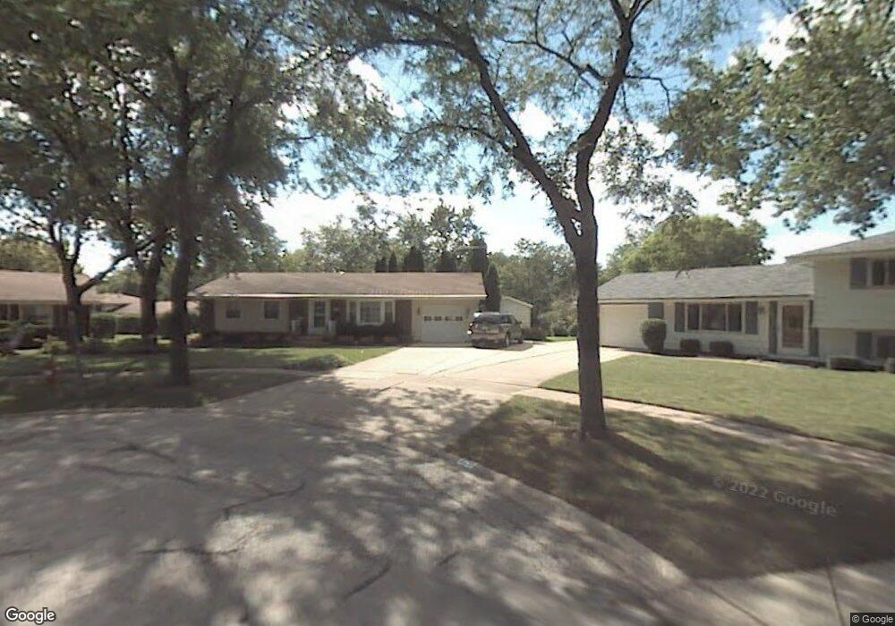
321 Gregory Ct Schaumburg, IL 60193
South Schaumburg NeighborhoodEstimated Value: $391,475 - $442,000
3
Beds
2
Baths
1,181
Sq Ft
$350/Sq Ft
Est. Value
About This Home
This home is located at 321 Gregory Ct, Schaumburg, IL 60193 and is currently estimated at $412,869, approximately $349 per square foot. 321 Gregory Ct is a home located in Cook County with nearby schools including Edwin Aldrin Elementary School, Robert Frost Junior High School, and Schaumburg High School.
Ownership History
Date
Name
Owned For
Owner Type
Purchase Details
Closed on
Sep 3, 2016
Sold by
Engstrom Mary E
Bought by
Mary E Engstrom Living Trust
Current Estimated Value
Purchase Details
Closed on
Oct 26, 2011
Sold by
Mckeon Anne M
Bought by
Engstrom Mary E
Home Financials for this Owner
Home Financials are based on the most recent Mortgage that was taken out on this home.
Original Mortgage
$177,600
Outstanding Balance
$121,456
Interest Rate
4.08%
Mortgage Type
New Conventional
Estimated Equity
$291,413
Create a Home Valuation Report for This Property
The Home Valuation Report is an in-depth analysis detailing your home's value as well as a comparison with similar homes in the area
Home Values in the Area
Average Home Value in this Area
Purchase History
| Date | Buyer | Sale Price | Title Company |
|---|---|---|---|
| Mary E Engstrom Living Trust | -- | None Available | |
| Engstrom Mary E | $222,000 | Attorneys Title Guaranty Fun |
Source: Public Records
Mortgage History
| Date | Status | Borrower | Loan Amount |
|---|---|---|---|
| Open | Engstrom Mary E | $177,600 |
Source: Public Records
Tax History Compared to Growth
Tax History
| Year | Tax Paid | Tax Assessment Tax Assessment Total Assessment is a certain percentage of the fair market value that is determined by local assessors to be the total taxable value of land and additions on the property. | Land | Improvement |
|---|---|---|---|---|
| 2024 | $5,907 | $27,057 | $5,609 | $21,448 |
| 2023 | $5,677 | $27,057 | $5,609 | $21,448 |
| 2022 | $5,677 | $27,057 | $5,609 | $21,448 |
| 2021 | $4,108 | $19,549 | $3,806 | $15,743 |
| 2020 | $5,630 | $22,002 | $3,806 | $18,196 |
| 2019 | $5,707 | $24,722 | $3,806 | $20,916 |
| 2018 | $5,801 | $22,765 | $3,405 | $19,360 |
| 2017 | $5,727 | $22,765 | $3,405 | $19,360 |
| 2016 | $5,599 | $22,765 | $3,405 | $19,360 |
| 2015 | $5,795 | $21,994 | $3,004 | $18,990 |
| 2014 | $5,748 | $21,994 | $3,004 | $18,990 |
| 2013 | $5,583 | $21,994 | $3,004 | $18,990 |
Source: Public Records
Map
Nearby Homes
- 415 Laconia Ln
- 727 Killarney Ct Unit 1C
- 635 Limerick Ln Unit 2B
- 631 Derry Ct Unit 3C
- 733 Limerick Ln Unit 7333D
- 711 Tipperary Ct Unit 2D
- 1109 Beach Comber Dr
- 614 Tralee Ct Unit 2-C
- 357 Lucille Ln Unit 30
- 516 W Weathersfield Way
- 36 Shore Dr
- 315 Ashwood Dr
- 1342 Lunt Ct Unit 56
- 507 Ash Ct
- 412 Redwood Ln
- 818 Brentwood Ct
- 126 Manchester Ct Unit 61B
- 916 Manchester Cir Unit 91A
- 205 Nantucket Harbor Unit 104
- 1520 Grant St