321 Grindle Brothers Rd Murrayville, GA 30564
Murrayville NeighborhoodEstimated Value: $475,000 - $853,000
--
Bed
3
Baths
3,096
Sq Ft
$205/Sq Ft
Est. Value
About This Home
This home is located at 321 Grindle Brothers Rd, Murrayville, GA 30564 and is currently estimated at $634,186, approximately $204 per square foot. 321 Grindle Brothers Rd is a home located in Lumpkin County with nearby schools including Clay County Middle School and Lumpkin County High School.
Ownership History
Date
Name
Owned For
Owner Type
Purchase Details
Closed on
Feb 2, 1994
Bought by
Grindle Joey
Current Estimated Value
Purchase Details
Closed on
Nov 1, 1986
Bought by
Grindle Joey
Purchase Details
Closed on
Feb 1, 1986
Sold by
Grindle Joey
Bought by
Grindle Joey
Create a Home Valuation Report for This Property
The Home Valuation Report is an in-depth analysis detailing your home's value as well as a comparison with similar homes in the area
Home Values in the Area
Average Home Value in this Area
Purchase History
| Date | Buyer | Sale Price | Title Company |
|---|---|---|---|
| Grindle Joey | -- | -- | |
| Grindle Joey | -- | -- | |
| Grindle Joey | -- | -- |
Source: Public Records
Tax History Compared to Growth
Tax History
| Year | Tax Paid | Tax Assessment Tax Assessment Total Assessment is a certain percentage of the fair market value that is determined by local assessors to be the total taxable value of land and additions on the property. | Land | Improvement |
|---|---|---|---|---|
| 2024 | $2,746 | $248,454 | $151,312 | $97,142 |
| 2023 | $2,670 | $223,507 | $130,442 | $93,065 |
| 2022 | $2,813 | $212,561 | $118,584 | $93,977 |
| 2021 | $2,208 | $206,251 | $118,584 | $87,667 |
| 2020 | $2,213 | $204,890 | $118,584 | $86,306 |
| 2019 | $2,208 | $204,890 | $118,584 | $86,306 |
| 2018 | $2,196 | $200,310 | $118,584 | $81,726 |
| 2017 | $2,188 | $200,388 | $118,584 | $81,804 |
| 2016 | $2,077 | $173,682 | $118,584 | $55,098 |
| 2015 | $1,836 | $173,682 | $118,584 | $55,098 |
| 2014 | $1,836 | $174,685 | $118,584 | $56,102 |
| 2013 | -- | $175,243 | $118,583 | $56,659 |
Source: Public Records
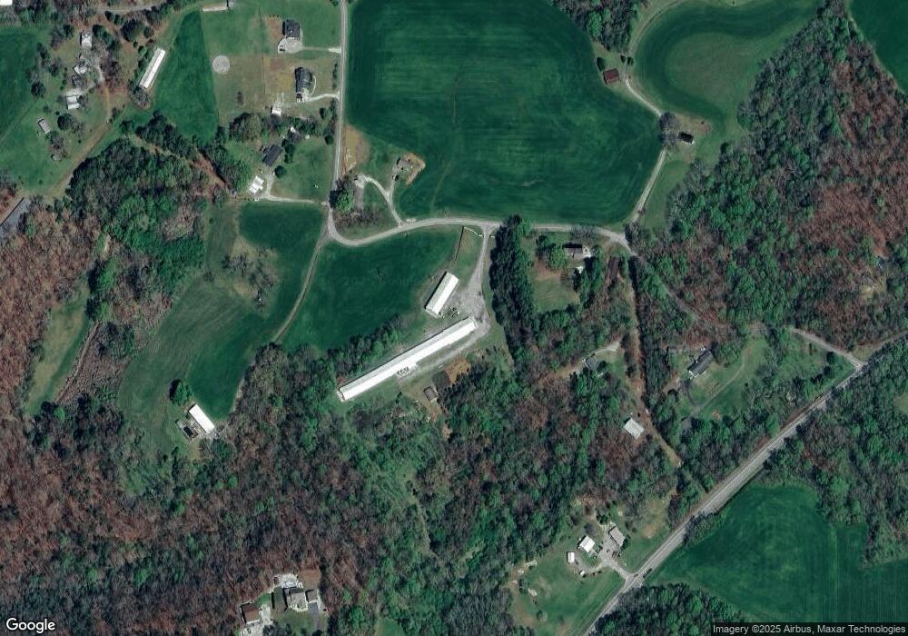
Map
Nearby Homes
- 380 Copper Mill Rd
- 6480 Highway 52 W
- 86.99 Acres Mincie Mountain
- 23.86 Acres Mincie Mountain
- 20.65 Acres Mincie Mountain
- 42.65 Acres Mincie Mountain
- 128 Young Deer Dr
- 600 Chapman Ridge Ln
- 500 Chapman Ridge Ln
- 27.68 Chapman Ridge Ln
- 100 Rocky Branch Dr
- 87 Tolleffs Trail
- 202 Indian Trail
- 12 Katydid Ln
- 3.65 Ac Emory Stephens Rd
- 342 Grindle Brothers Rd
- 376 Grindle Brothers Rd
- 197 Grindle Brothers Rd
- 425 Grindle Brothers Rd
- 99 Grindle Brothers Rd
- 513 Grindle Brothers Rd
- 515 Grindle Brothers Rd
- 97 Grindle Brothers Rd
- 84 Dovetail Ct
- 93 Grindle Brothers Rd
- 601 Cleveland Hwy
- 520 Grindle Brothers Rd
- 520 Grindle Brothers Rd Unit TRACT 2
- 520 Grindle Brothers Rd Unit TRACT 2
- 520 Grindle Brothers Rd
- 520 Grindle Brothers Rd (Trac T 2) Rd Unit TRACT 2
- 32 Dockery Trail
- 649 Grindle Brothers Rd
- 596 Grindle Brothers Rd
- 729 Grindle Brothers Rd