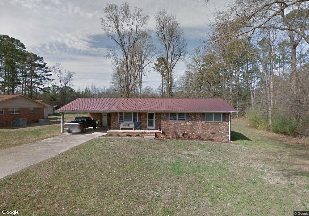
321 Hillsdale Dr Scottsboro, AL 35769
Estimated Value: $173,447 - $234,000
--
Bed
--
Bath
1,246
Sq Ft
$168/Sq Ft
Est. Value
About This Home
This home is located at 321 Hillsdale Dr, Scottsboro, AL 35769 and is currently estimated at $209,862, approximately $168 per square foot. 321 Hillsdale Dr is a home with nearby schools including Scottsboro High School and Scottsboro Christian Academy.
Ownership History
Date
Name
Owned For
Owner Type
Purchase Details
Closed on
Jan 29, 2021
Sold by
Hall Mark E
Bought by
Cobb Christina D and Straub Christopher W
Current Estimated Value
Purchase Details
Closed on
Apr 19, 2007
Sold by
Paulk Paulk Angelia Gale Angelia Gale and Paulk Hood Angelia
Bought by
Hall Mark E
Home Financials for this Owner
Home Financials are based on the most recent Mortgage that was taken out on this home.
Original Mortgage
$82,000
Interest Rate
6.1%
Create a Home Valuation Report for This Property
The Home Valuation Report is an in-depth analysis detailing your home's value as well as a comparison with similar homes in the area
Home Values in the Area
Average Home Value in this Area
Purchase History
| Date | Buyer | Sale Price | Title Company |
|---|---|---|---|
| Cobb Christina D | $107,000 | -- | |
| Hall Mark E | $82,000 | -- |
Source: Public Records
Mortgage History
| Date | Status | Borrower | Loan Amount |
|---|---|---|---|
| Previous Owner | Hall Mark E | $82,000 |
Source: Public Records
Tax History Compared to Growth
Tax History
| Year | Tax Paid | Tax Assessment Tax Assessment Total Assessment is a certain percentage of the fair market value that is determined by local assessors to be the total taxable value of land and additions on the property. | Land | Improvement |
|---|---|---|---|---|
| 2024 | $491 | $10,420 | $0 | $0 |
| 2023 | $456 | $10,640 | $0 | $0 |
| 2022 | $433 | $9,940 | $0 | $0 |
| 2021 | $433 | $9,940 | $0 | $0 |
| 2020 | $400 | $9,260 | $0 | $0 |
| 2019 | $397 | $9,200 | $0 | $0 |
| 2018 | $397 | $9,200 | $0 | $0 |
| 2017 | $397 | $92,000 | $0 | $0 |
| 2016 | $374 | $87,100 | $0 | $0 |
| 2015 | $374 | $87,100 | $0 | $0 |
| 2014 | $374 | $87,100 | $0 | $0 |
| 2013 | -- | $87,100 | $0 | $0 |
Source: Public Records
Map
Nearby Homes
- 222 Lakewood Dr
- 118 Greenwood Dr
- 2310 Bob Jones Rd
- 4 acres Bob Jones Rd
- 1481 Peninsula Dr
- 131 Anderson St E
- 2981 Bob Jones Rd
- 565 Goosepond Island Dr
- 17 Goose Pond Island Dr
- 216 Canadian Dr
- 3 Acres S Broad St
- 104 Wimberly Dr
- 4140 S Broad St
- 105 Chasewood Cove
- 1.0 Acre Lake Pointe Cir
- 50 Pruett Cir
- Lot 11 Pruett Cir
- 383 Anderson St W
- Lot 22 Paradise Place
- 163 Paradise Place
- 303 Hillsdale Dr
- 9 Lakeside Dr
- 283 Hillsdale Dr
- 274 Hillsdale Dr
- 31 Lakeside Dr
- 263 Hillsdale Dr
- 254 Hillsdale Dr
- 245 Hillsdale Dr
- 49 Lakeside Dr
- 236 Hillsdale Dr
- 227 Hillsdale Dr
- 207 Hillsdale Dr
- 201 Hillsdale Dr
- 113 Lakeside Dr
- 287 Lakewood Dr
- 208 Hillsdale Dr
- 189 Hillsdale Dr
- Lot #2 Lakeside Dr
- Lot #1 Lakeside Dr
- 269 Lakewood Dr