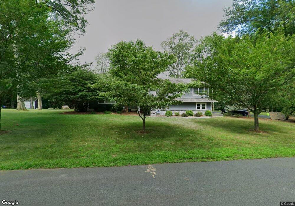
321 Joan Place Wyckoff, NJ 07481
Estimated Value: $1,155,000 - $1,299,776
--
Bed
--
Bath
2,746
Sq Ft
$452/Sq Ft
Est. Value
About This Home
This home is located at 321 Joan Place, Wyckoff, NJ 07481 and is currently estimated at $1,241,694, approximately $452 per square foot. 321 Joan Place is a home located in Bergen County with nearby schools including Abraham Lincoln Elementary School, Dwight D Eisenhower Middle School, and Ramapo High School.
Ownership History
Date
Name
Owned For
Owner Type
Purchase Details
Closed on
Sep 12, 2008
Sold by
Cameron James W and Cameron Beryl L
Bought by
Carpenter George M and Carpenter Carrie
Current Estimated Value
Home Financials for this Owner
Home Financials are based on the most recent Mortgage that was taken out on this home.
Original Mortgage
$400,000
Outstanding Balance
$264,907
Interest Rate
6.43%
Mortgage Type
New Conventional
Estimated Equity
$976,787
Create a Home Valuation Report for This Property
The Home Valuation Report is an in-depth analysis detailing your home's value as well as a comparison with similar homes in the area
Home Values in the Area
Average Home Value in this Area
Purchase History
| Date | Buyer | Sale Price | Title Company |
|---|---|---|---|
| Carpenter George M | $725,000 | -- |
Source: Public Records
Mortgage History
| Date | Status | Borrower | Loan Amount |
|---|---|---|---|
| Open | Carpenter George M | $400,000 |
Source: Public Records
Tax History Compared to Growth
Tax History
| Year | Tax Paid | Tax Assessment Tax Assessment Total Assessment is a certain percentage of the fair market value that is determined by local assessors to be the total taxable value of land and additions on the property. | Land | Improvement |
|---|---|---|---|---|
| 2025 | $17,341 | $889,300 | $477,500 | $411,800 |
| 2024 | $16,834 | $889,300 | $477,500 | $411,800 |
| 2023 | $16,381 | $889,300 | $477,500 | $411,800 |
| 2022 | $16,381 | $889,300 | $477,500 | $411,800 |
| 2021 | $16,488 | $889,300 | $477,500 | $411,800 |
| 2020 | $12,408 | $676,200 | $477,500 | $198,700 |
| 2019 | $12,239 | $676,200 | $477,500 | $198,700 |
| 2018 | $12,050 | $676,200 | $477,500 | $198,700 |
| 2017 | $11,901 | $676,200 | $477,500 | $198,700 |
| 2016 | $11,712 | $676,200 | $477,500 | $198,700 |
| 2015 | $11,583 | $676,200 | $477,500 | $198,700 |
| 2014 | $12,683 | $799,200 | $537,500 | $261,700 |
Source: Public Records
Map
Nearby Homes
- 39 Edgewood Ave
- 314 Meadowbrook Rd
- 97 Frost Ln
- 93 Frost Ln
- 796 Wyckoff Ave
- 436D Bromley Place
- 21 Whitman Ln
- 444B Bromley Place Unit B
- 444B Bromley Place
- 253 Madison Ave
- 1-5 Chestnut Place
- 103 Macintyre Ln
- 20 van Schaik Ln
- 36 Lockwood Dr
- 278 Crest Place
- 306 Sunset Blvd
- 520 Clinton Ave
- 502 Timberline Dr
- 137 Elmwood Place
- 23 Herlihy Dr