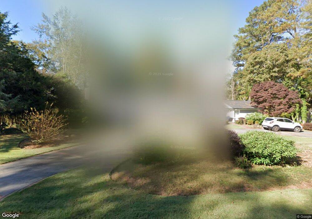
321 Lane Cir Lagrange, GA 30240
Estimated Value: $361,983 - $486,000
3
Beds
3
Baths
3,285
Sq Ft
$123/Sq Ft
Est. Value
About This Home
This home is located at 321 Lane Cir, Lagrange, GA 30240 and is currently estimated at $405,496, approximately $123 per square foot. 321 Lane Cir is a home located in Troup County with nearby schools including Hollis Hand Elementary School, Ethel W. Kight Elementary School, and Franklin Forest Elementary School.
Ownership History
Date
Name
Owned For
Owner Type
Purchase Details
Closed on
Nov 26, 2019
Sold by
Ryan Pamela Anne
Bought by
Mansour Patricia D and Mansour Taft E
Current Estimated Value
Purchase Details
Closed on
Aug 9, 2011
Sold by
Whitley David B
Bought by
Ryan Pamela Anne
Purchase Details
Closed on
May 23, 1996
Sold by
Rebekah H Priester By Ex
Bought by
Whitley David B and Whitley Bette N
Purchase Details
Closed on
Jan 1, 1944
Bought by
Rebekah H Priester By Ex
Create a Home Valuation Report for This Property
The Home Valuation Report is an in-depth analysis detailing your home's value as well as a comparison with similar homes in the area
Home Values in the Area
Average Home Value in this Area
Purchase History
| Date | Buyer | Sale Price | Title Company |
|---|---|---|---|
| Mansour Patricia D | $279,900 | -- | |
| Ryan Pamela Anne | $255,000 | -- | |
| Whitley David B | -- | -- | |
| Rebekah H Priester By Ex | -- | -- |
Source: Public Records
Tax History Compared to Growth
Tax History
| Year | Tax Paid | Tax Assessment Tax Assessment Total Assessment is a certain percentage of the fair market value that is determined by local assessors to be the total taxable value of land and additions on the property. | Land | Improvement |
|---|---|---|---|---|
| 2024 | $3,244 | $120,920 | $18,000 | $102,920 |
| 2023 | $2,597 | $115,120 | $18,000 | $97,120 |
| 2022 | $2,989 | $109,080 | $18,000 | $91,080 |
| 2021 | $3,313 | $111,840 | $18,000 | $93,840 |
| 2020 | $3,313 | $111,840 | $18,000 | $93,840 |
| 2019 | $3,071 | $101,840 | $17,480 | $84,360 |
| 2018 | $2,950 | $97,800 | $17,480 | $80,320 |
| 2017 | $2,875 | $95,340 | $16,100 | $79,240 |
| 2016 | $2,926 | $97,021 | $16,100 | $80,921 |
| 2015 | $2,973 | $98,412 | $17,491 | $80,921 |
| 2014 | $2,927 | $96,744 | $17,491 | $79,253 |
| 2013 | -- | $102,433 | $17,491 | $84,942 |
Source: Public Records
Map
Nearby Homes
- 609 Cherokee Rd
- 109 Waverly Way
- 203 Waverly Way
- 110 Waverly Way
- 705 Piney Woods Dr
- 105 Saynor Cir
- 603 Country Club Rd
- 408 Gordon St
- 209 N Lee St
- 217 Jefferson St
- 0 N Lee St Unit 10550825
- 208 Boulevard
- 209 Boulevard
- 206 Broad St
- 748 Lakewood Dr
- 500 Boulevard
- 513 Park Ave
- 211 Moores Hill
- 0 Moores Hill
- 145 Turner St
- 317 Lane Cir
- 108 Ridgecrest Rd
- 231 E Lane Cir
- 315 Lane Cir
- 106 Ridgecrest Rd
- 112 Ridgecrest Rd
- 312 Lane Cir
- 104 Ridgecrest Rd
- 101 Loyd Place
- 101 Loyd Place
- 313 Lane Cir
- 234 E Lane Cir
- 238 Lane Cir
- 0 Elane Cir Unit 7513764
- 0 Elane Cir
- 310 Lane Cir Unit 6
- 310 Lane Cir
- 311 Lane Cir
- 230 E Lane Cir
- 225 E Lane Cir