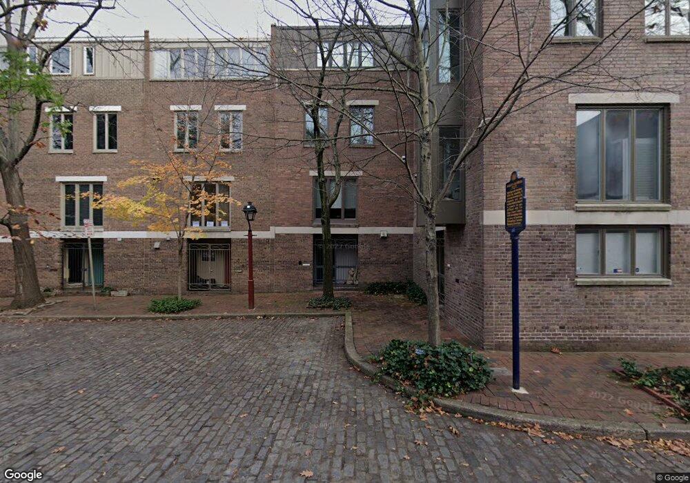
321 Lawrence Ct Philadelphia, PA 19106
Society Hill NeighborhoodEstimated Value: $1,120,239 - $1,550,000
--
Bed
--
Bath
2,548
Sq Ft
$535/Sq Ft
Est. Value
About This Home
This home is located at 321 Lawrence Ct, Philadelphia, PA 19106 and is currently estimated at $1,364,310, approximately $535 per square foot. 321 Lawrence Ct is a home located in Philadelphia County with nearby schools including General George A McCall Public School, Benjamin Franklin High School, and Mastery Charter High School Lenfest Campus.
Ownership History
Date
Name
Owned For
Owner Type
Purchase Details
Closed on
Jul 24, 1996
Sold by
Sudak Howard S and Miller Donna M
Bought by
Sudak Howard S and Sudak Donna M
Current Estimated Value
Purchase Details
Closed on
Sep 24, 1994
Sold by
Smith Peter S and Smith Shelly
Bought by
Sudak Howard S and Miller Donna M
Create a Home Valuation Report for This Property
The Home Valuation Report is an in-depth analysis detailing your home's value as well as a comparison with similar homes in the area
Home Values in the Area
Average Home Value in this Area
Purchase History
| Date | Buyer | Sale Price | Title Company |
|---|---|---|---|
| Sudak Howard S | -- | -- | |
| Sudak Howard S | $404,000 | -- |
Source: Public Records
Tax History Compared to Growth
Tax History
| Year | Tax Paid | Tax Assessment Tax Assessment Total Assessment is a certain percentage of the fair market value that is determined by local assessors to be the total taxable value of land and additions on the property. | Land | Improvement |
|---|---|---|---|---|
| 2025 | $13,432 | $1,104,500 | $220,900 | $883,600 |
| 2024 | $13,432 | $1,104,500 | $220,900 | $883,600 |
| 2023 | $13,432 | $959,600 | $191,920 | $767,680 |
| 2022 | $12,803 | $914,600 | $191,920 | $722,680 |
| 2021 | $13,452 | $0 | $0 | $0 |
| 2020 | $13,452 | $0 | $0 | $0 |
| 2019 | $13,018 | $0 | $0 | $0 |
| 2018 | $11,814 | $0 | $0 | $0 |
| 2017 | $11,814 | $0 | $0 | $0 |
| 2016 | $11,394 | $0 | $0 | $0 |
| 2015 | $82,467 | $0 | $0 | $0 |
| 2014 | -- | $844,000 | $88,904 | $755,096 |
| 2012 | -- | $122,624 | $17,177 | $105,447 |
Source: Public Records
Map
Nearby Homes
- 330 S 4th St
- 318 S 4th St
- 502 1/2 Delancey St Unit A
- 501 Pine St
- 513 Pine St
- 246 Delancey St
- 259 S 4th St
- 520 Spruce St
- 430 S 5th St
- 302 Lombard St Unit B
- 311 Gaskill St
- 333 S 6th St
- 523 S Leithgow St
- 519 S 5th St
- 528 Manning Walk Unit 7
- 242 Locust St
- 283 Locust St
- 513 S Randolph Ct Unit F
- 211 25 S 4th St Unit 104
- 211 25 S 4th St Unit 404
- 323 Lawrence Ct
- 325 Lawrence Ct
- 319 Lawrence Ct
- 327 Lawrence Ct
- 317 Lawrence Ct
- 329 Lawrence Ct
- 333 Lawrence Ct
- 331 Lawrence Ct
- 326 Lawrence Ct
- 320 S 4th St Unit 28
- 324 Lawrence Ct
- 332 Lawrence Ct
- 332 S 4th St Unit 34
- 334 Lawrence Ct
- 320 Lawrence Ct
- 313 Lawrence Ct
- 318 Lawrence Ct
- 311 Lawrence Ct
- 316 Lawrence Ct
- 314 Lawrence Ct