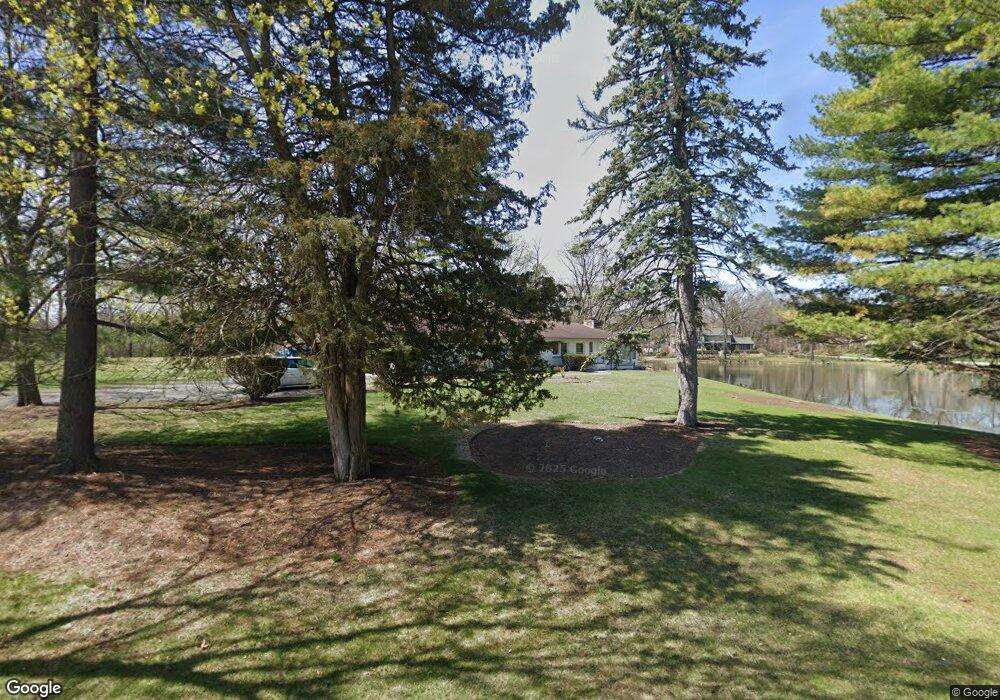
321 Luthin Rd Oak Brook, IL 60523
Estimated Value: $2,391,380 - $2,551,000
Studio
--
Bath
7,761
Sq Ft
$321/Sq Ft
Est. Value
About This Home
This home is located at 321 Luthin Rd, Oak Brook, IL 60523 and is currently estimated at $2,490,793, approximately $320 per square foot. 321 Luthin Rd is a home located in DuPage County with nearby schools including Monroe Elementary School, Clarendon Hills Middle School, and Hinsdale Central High School.
Ownership History
Date
Name
Owned For
Owner Type
Purchase Details
Closed on
May 11, 2021
Sold by
Chicago Title Land Trust Company
Bought by
Girgis Rita K and Rita K Girgis Trust
Current Estimated Value
Purchase Details
Closed on
Jun 1, 1997
Sold by
Girgis Rita K
Bought by
Harris Bank Hinsdale and Trust #L-1485
Create a Home Valuation Report for This Property
The Home Valuation Report is an in-depth analysis detailing your home's value as well as a comparison with similar homes in the area
Home Values in the Area
Average Home Value in this Area
Purchase History
| Date | Buyer | Sale Price | Title Company |
|---|---|---|---|
| Girgis Rita K | -- | Chicago Title Land Trust Co | |
| Harris Bank Hinsdale | -- | -- |
Source: Public Records
Tax History
| Year | Tax Paid | Tax Assessment Tax Assessment Total Assessment is a certain percentage of the fair market value that is determined by local assessors to be the total taxable value of land and additions on the property. | Land | Improvement |
|---|---|---|---|---|
| 2024 | -- | $709,603 | $144,972 | $564,631 |
| 2023 | $33,303 | $656,190 | $134,060 | $522,130 |
| 2022 | $37,787 | $760,210 | $128,860 | $631,350 |
| 2021 | $35,938 | $741,310 | $125,660 | $615,650 |
| 2020 | $34,960 | $725,070 | $122,910 | $602,160 |
| 2019 | $34,765 | $689,360 | $116,860 | $572,500 |
| 2018 | $34,297 | $704,740 | $110,620 | $594,120 |
| 2017 | $32,344 | $671,560 | $105,410 | $566,150 |
| 2016 | $31,272 | $632,650 | $99,300 | $533,350 |
| 2015 | $30,838 | $589,390 | $92,510 | $496,880 |
| 2014 | $30,776 | $567,740 | $188,930 | $378,810 |
| 2013 | $30,761 | $575,740 | $191,590 | $384,150 |
Source: Public Records
Map
Nearby Homes
- 3504 York Rd
- 3420 York Rd
- 3403 York Rd
- 1409 Burr Oak Rd Unit 414A
- 1409 Burr Oak Rd Unit 112A
- 1409 Burr Oak Rd Unit 111A
- 1409 Burr Oak Rd Unit 315A
- 1401 Burr Oak Rd Unit 202B
- 1401 Burr Oak Rd Unit 114B
- 1401 Burr Oak Rd Unit 108B
- 1401 Burr Oak Rd Unit 117B
- 1401 Burr Oak Rd Unit 105B
- 3309 York Rd
- 1210 Hawthorne Ln
- 401 Glendale Ave
- 3801 Madison St
- 15 Templeton Dr
- 411 Birchwood Rd
- 130 Fuller Rd
- 3103 York Rd
Your Personal Tour Guide
Ask me questions while you tour the home.