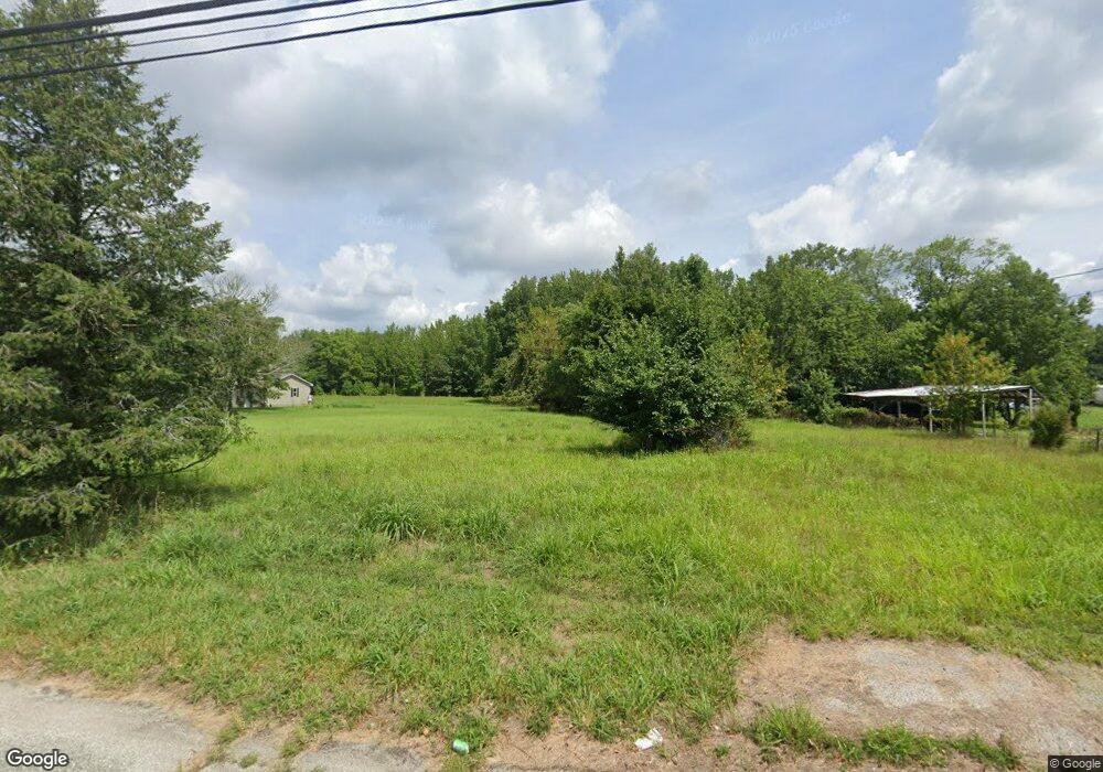
321 Main St Newport, NJ 08345
Estimated Value: $121,943 - $213,000
--
Bed
--
Bath
--
Sq Ft
1.21
Acres
About This Home
This home is located at 321 Main St, Newport, NJ 08345 and is currently estimated at $153,648. 321 Main St is a home located in Cumberland County with nearby schools including Downe Township Elementary School.
Create a Home Valuation Report for This Property
The Home Valuation Report is an in-depth analysis detailing your home's value as well as a comparison with similar homes in the area
Home Values in the Area
Average Home Value in this Area
Tax History Compared to Growth
Tax History
| Year | Tax Paid | Tax Assessment Tax Assessment Total Assessment is a certain percentage of the fair market value that is determined by local assessors to be the total taxable value of land and additions on the property. | Land | Improvement |
|---|---|---|---|---|
| 2025 | $1,180 | $40,900 | $40,800 | $100 |
| 2024 | $1,180 | $40,900 | $40,800 | $100 |
| 2023 | $1,076 | $40,900 | $40,800 | $100 |
| 2022 | $1,049 | $40,900 | $40,800 | $100 |
| 2021 | $984 | $40,900 | $40,800 | $100 |
| 2020 | $984 | $40,900 | $40,800 | $100 |
| 2019 | $967 | $40,900 | $40,800 | $100 |
| 2018 | $980 | $40,900 | $40,800 | $100 |
| 2017 | $941 | $40,900 | $40,800 | $100 |
| 2016 | $940 | $40,900 | $40,800 | $100 |
| 2015 | $882 | $40,900 | $40,800 | $100 |
| 2014 | $817 | $40,900 | $40,800 | $100 |
Source: Public Records
Map
Nearby Homes
- 13 Hall St
- 0 Relm Ave Unit NJCB2022890
- 0 Keln Ave Unit NJCB2022904
- 281 Fortescue Rd
- 554 Old Beaver Dam Rd
- 442 Shaws Mill Rd
- 184 Landing Rd
- 91 Landis Ave
- 297 Factory Rd
- 467 Hickman Ave Unit 469
- 898 Main St
- 912 Main St
- 914 Main St
- 377 Main St
- 12 Lores Ln
- 73 Maple Ave
- 938 Union St
- 873 875 Downe Ave
- 7 Princeton Ave
- 0 Lawn Ave Unit NJCB2022888