321 May Brook Dr Clarkesville, GA 30523
Estimated Value: $352,564 - $402,000
3
Beds
2
Baths
1,708
Sq Ft
$222/Sq Ft
Est. Value
About This Home
This home is located at 321 May Brook Dr, Clarkesville, GA 30523 and is currently estimated at $378,855, approximately $221 per square foot. 321 May Brook Dr is a home located in Habersham County with nearby schools including Woodville Elementary School, North Habersham Middle School, and Habersham Success Academy.
Ownership History
Date
Name
Owned For
Owner Type
Purchase Details
Closed on
May 15, 2019
Sold by
Allen Walter Wayne
Bought by
Allen Walter Wayne and Allen Betty Sue
Current Estimated Value
Purchase Details
Closed on
Sep 21, 2015
Sold by
Allen Jo Anne
Bought by
Allen Walter Wayne
Home Financials for this Owner
Home Financials are based on the most recent Mortgage that was taken out on this home.
Original Mortgage
$85,000
Interest Rate
3.88%
Mortgage Type
New Conventional
Create a Home Valuation Report for This Property
The Home Valuation Report is an in-depth analysis detailing your home's value as well as a comparison with similar homes in the area
Home Values in the Area
Average Home Value in this Area
Purchase History
| Date | Buyer | Sale Price | Title Company |
|---|---|---|---|
| Allen Walter Wayne | -- | -- | |
| Allen Walter Wayne | -- | -- |
Source: Public Records
Mortgage History
| Date | Status | Borrower | Loan Amount |
|---|---|---|---|
| Previous Owner | Allen Walter Wayne | $85,000 |
Source: Public Records
Tax History Compared to Growth
Tax History
| Year | Tax Paid | Tax Assessment Tax Assessment Total Assessment is a certain percentage of the fair market value that is determined by local assessors to be the total taxable value of land and additions on the property. | Land | Improvement |
|---|---|---|---|---|
| 2025 | $2,065 | $117,815 | $23,424 | $94,391 |
| 2024 | -- | $95,888 | $17,408 | $78,480 |
| 2023 | $1,305 | $82,464 | $17,408 | $65,056 |
| 2022 | $1,673 | $66,080 | $10,156 | $55,924 |
| 2021 | $1,514 | $60,260 | $10,156 | $50,104 |
| 2020 | $1,384 | $53,356 | $10,156 | $43,200 |
| 2019 | $1,385 | $53,356 | $10,156 | $43,200 |
| 2018 | $1,374 | $53,356 | $10,156 | $43,200 |
| 2017 | $1,285 | $49,792 | $10,156 | $39,636 |
| 2016 | $1,246 | $124,480 | $10,156 | $39,636 |
| 2015 | $1,232 | $124,480 | $10,156 | $39,636 |
| 2014 | $1,230 | $122,140 | $10,156 | $38,700 |
| 2013 | -- | $48,856 | $10,156 | $38,700 |
Source: Public Records
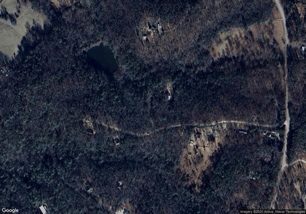
Map
Nearby Homes
- 5265 New Liberty Rd
- 135 Mountain Ridge Dr
- 150 Blue Jay Rd
- LOT 36 Mountain Ridge Dr
- 0 Barney Field Rd Unit 110.9 AC 10472662
- 4850 New Liberty Rd
- 1688 Ben Jones Rd
- 0 Soque Falls Circle Lot 34
- 1613 Duchess Ln
- 0 Mountain Ridge Dr Unit 7628449
- 1064 Annandale Dr
- 0 Ben Jones Rd Unit 7377215
- 0 Ben Jones Rd Unit 10021237
- 0 Ben Jones Rd Unit 20180428
- 495 Annandale Dr
- 0 TRACT 1 Annandale Dr
- 0 TRACT 3 Annandale Dr
- 0 TRACT 2 Annandale Dr
- 0 TRACT 4 Annandale Dr
- 501 the Orchard Rd
- 163 May Brook Dr
- 400 May Brook Dr
- 400 May Brook Dr
- 150 May Brook Dr
- 0 Maybrook Rd Unit 7139740
- 508 May Brook Dr
- 530 Kings Bridge Way Rd
- 130 May Brook Dr
- 526 Kings Bridge Way Rd
- 0 Kings Bridge Way Rd Unit LOT 7 7560592
- 0 Kings Bridge Way Rd Unit 7074176
- 0 Kings Bridge Way Rd Unit 7288605
- 0 Kings Bridge Way Rd Unit 8177415
- 594 Kings Bridge Way Rd
- 594 Kings Bridge Way North E
- 151 May Brook Dr
- 5447 New Liberty Rd
- 5585 New Liberty Rd
- 503 May Brook Dr
- 5451 New Liberty Rd