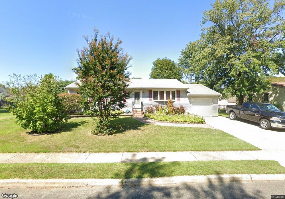
321 Middlesex Ave West Deptford, NJ 08086
West Deptford Township NeighborhoodEstimated Value: $240,396 - $314,000
--
Bed
--
Bath
1,204
Sq Ft
$233/Sq Ft
Est. Value
About This Home
This home is located at 321 Middlesex Ave, West Deptford, NJ 08086 and is currently estimated at $280,599, approximately $233 per square foot. 321 Middlesex Ave is a home located in Gloucester County with nearby schools including Red Bank Elementary School, Oakview Elementary School, and Green-Fields Elementary School.
Ownership History
Date
Name
Owned For
Owner Type
Purchase Details
Closed on
Dec 27, 2007
Sold by
Reifenrath John J and Reifenrath Dorothy A
Bought by
Pfaff Katrina M and Pfaff Jeffrey T
Current Estimated Value
Home Financials for this Owner
Home Financials are based on the most recent Mortgage that was taken out on this home.
Original Mortgage
$190,008
Interest Rate
6.02%
Mortgage Type
FHA
Create a Home Valuation Report for This Property
The Home Valuation Report is an in-depth analysis detailing your home's value as well as a comparison with similar homes in the area
Home Values in the Area
Average Home Value in this Area
Purchase History
| Date | Buyer | Sale Price | Title Company |
|---|---|---|---|
| Pfaff Katrina M | $195,000 | Group 21 Title Agency |
Source: Public Records
Mortgage History
| Date | Status | Borrower | Loan Amount |
|---|---|---|---|
| Closed | Pfaff Katrina M | $190,008 |
Source: Public Records
Tax History Compared to Growth
Tax History
| Year | Tax Paid | Tax Assessment Tax Assessment Total Assessment is a certain percentage of the fair market value that is determined by local assessors to be the total taxable value of land and additions on the property. | Land | Improvement |
|---|---|---|---|---|
| 2025 | $5,566 | $159,400 | $54,400 | $105,000 |
| 2024 | $5,495 | $159,400 | $54,400 | $105,000 |
| 2023 | $5,495 | $159,400 | $54,400 | $105,000 |
| 2022 | $5,469 | $159,400 | $54,400 | $105,000 |
| 2021 | $5,450 | $159,400 | $54,400 | $105,000 |
| 2020 | $5,437 | $159,400 | $54,400 | $105,000 |
| 2019 | $5,286 | $159,400 | $54,400 | $105,000 |
| 2018 | $5,142 | $159,400 | $54,400 | $105,000 |
| 2017 | $5,023 | $159,400 | $54,400 | $105,000 |
| 2016 | $4,882 | $159,400 | $54,400 | $105,000 |
| 2015 | $4,651 | $159,400 | $54,400 | $105,000 |
| 2014 | $4,420 | $159,400 | $54,400 | $105,000 |
Source: Public Records
Map
Nearby Homes
- 266 Passaic Ave
- 107 Audubon Ave
- 121 Cape May Ave
- 10 Kennedy Ct
- 400 Audubon Ave
- 112 N Drexel St
- 64 Tilden Rd
- 439 Crown Point Rd
- 124 Brent Ct
- 67 Pelican Place
- 433 Crown Point Rd
- 1810 Fernwood Dr
- 21 S Columbia St
- 558 Prince St
- 136 Sandpiper Ln
- 344 S Girard St
- 1311 Barnesdale Rd
- 4 Saint Emilion Ct
- 83 Lynn Dr
- 2 Victorian Way
- 331 Middlesex Ave
- 234 Middlesex Ave
- 320 N Monmouth Ave
- 320 Monmouth Ave
- 310 Monmouth Ave
- 320 Middlesex Ave
- 330 Monmouth Ave
- 310 Middlesex Ave
- 221 Grant Ave
- 300 Monmouth Ave
- 120 Harding Ave
- 218 Grant Ave
- 325 Monmouth Ave
- 319 Roosevelt Blvd
- 319 Monmouth Ave
- 315 Roosevelt Blvd
- 319 N Roosevelt Blvd
- 323 Roosevelt Blvd
- 311 Monmouth Ave
- 311 N Roosevelt Blvd