321 Mill St Trufant, MI 49347
Estimated Value: $191,419 - $243,000
3
Beds
1
Bath
908
Sq Ft
$252/Sq Ft
Est. Value
About This Home
This home is located at 321 Mill St, Trufant, MI 49347 and is currently estimated at $228,605, approximately $251 per square foot. 321 Mill St is a home located in Montcalm County with nearby schools including Lakeview Elementary School, Lakeview Middle School, and Lakeview High School.
Ownership History
Date
Name
Owned For
Owner Type
Purchase Details
Closed on
Nov 20, 2006
Sold by
Budzynski Dennis and Budzynski Melinda
Bought by
Flak James and Flak Cynthia
Current Estimated Value
Home Financials for this Owner
Home Financials are based on the most recent Mortgage that was taken out on this home.
Original Mortgage
$113,600
Outstanding Balance
$67,948
Interest Rate
6.41%
Mortgage Type
Unknown
Estimated Equity
$160,657
Purchase Details
Closed on
Apr 16, 2004
Sold by
Westdorp Lawrence and Vruggink Westdorp Kathy
Bought by
Budzynski Dennis and Budzynski Melinda
Purchase Details
Closed on
Nov 19, 1997
Sold by
Fors Clifford and Fors Loretta
Bought by
Westdorp Lawrence and Westdorp Kathy
Create a Home Valuation Report for This Property
The Home Valuation Report is an in-depth analysis detailing your home's value as well as a comparison with similar homes in the area
Purchase History
| Date | Buyer | Sale Price | Title Company |
|---|---|---|---|
| Flak James | $142,000 | Metropolitan Title Company | |
| Flak James | $142,000 | -- | |
| Budzynski Dennis | $131,000 | Metropolitan Title Company | |
| Budzynski Dennis | $131,000 | -- | |
| Westdorp Lawrence | $70,000 | -- |
Source: Public Records
Mortgage History
| Date | Status | Borrower | Loan Amount |
|---|---|---|---|
| Open | Flak James | $113,600 |
Source: Public Records
Tax History
| Year | Tax Paid | Tax Assessment Tax Assessment Total Assessment is a certain percentage of the fair market value that is determined by local assessors to be the total taxable value of land and additions on the property. | Land | Improvement |
|---|---|---|---|---|
| 2025 | $2,766 | $79,300 | $0 | $0 |
| 2024 | $2,436 | $73,200 | $0 | $0 |
| 2023 | -- | $91,400 | $0 | $0 |
Source: Public Records
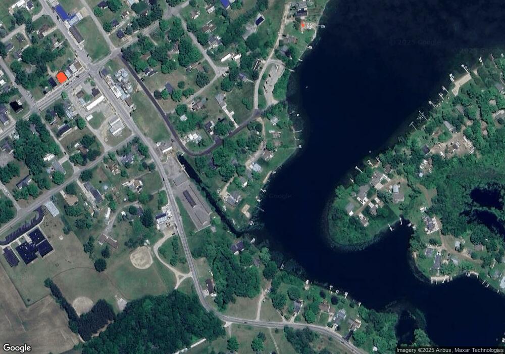
Map
Nearby Homes
- 332 Mill St
- 125 N A St
- 221 Rasmussen Dr
- VL W Stanton Rd
- 12468 22 Mile Rd NE
- 0 Gravel Ridge Rd
- VL W Cannonsville Rd
- 17163 Spruce Cove Trail Unit 13
- 13142 Spruce Ridge Dr NE
- Parcel F W Willard Rd
- Parcel E W Willard Rd
- 2380 W Shore Dr
- 13644 21 Mile Rd
- 12651 Maston Lake Dr
- 2761 N Johnson Rd
- 12432 Mcmurty Dr NE
- 12513 Mcmurty Dr NE
- 15833 W Cannonsville Rd
- 12269 Coral Rd
- Parcel B Youngman Rd
Your Personal Tour Guide
Ask me questions while you tour the home.