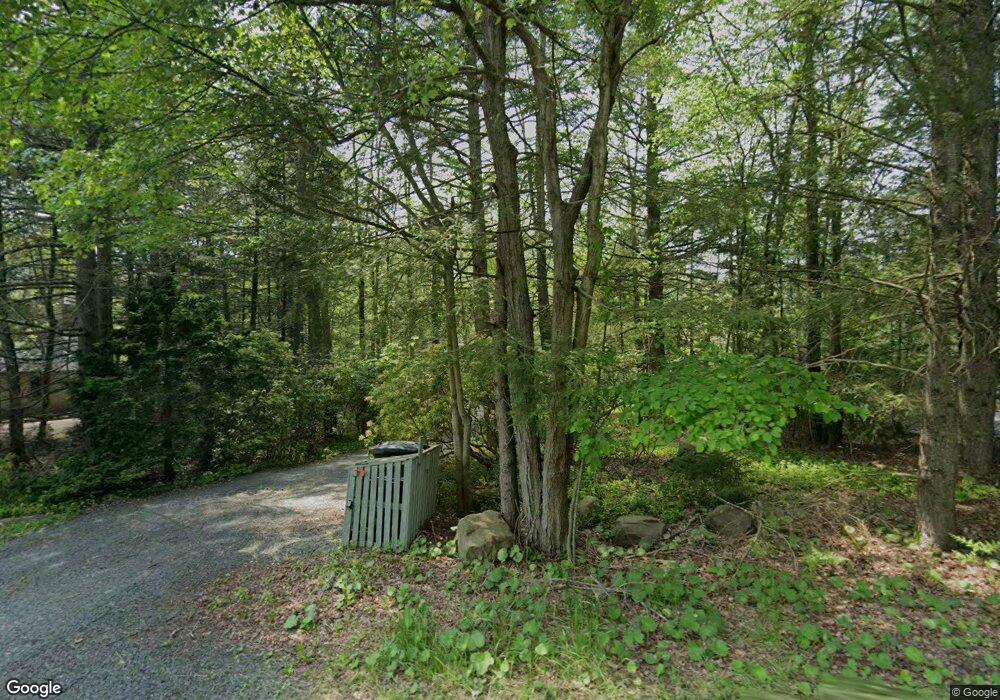
321 Miller Dr Pocono Pines, PA 18350
Estimated Value: $1,451,000 - $2,205,000
5
Beds
5
Baths
3,217
Sq Ft
$537/Sq Ft
Est. Value
About This Home
This home is located at 321 Miller Dr, Pocono Pines, PA 18350 and is currently estimated at $1,727,208, approximately $536 per square foot. 321 Miller Dr is a home located in Monroe County with nearby schools including Tobyhanna Elementary Center, Clear Run Intermediate School, and Pocono Mountain West Junior High School.
Ownership History
Date
Name
Owned For
Owner Type
Purchase Details
Closed on
Jun 11, 2013
Sold by
Fromm Michael and Fromm Louis
Bought by
Randazzo Bruce P and Randazzo Meryl C
Current Estimated Value
Home Financials for this Owner
Home Financials are based on the most recent Mortgage that was taken out on this home.
Original Mortgage
$705,066
Outstanding Balance
$158,446
Interest Rate
3.51%
Mortgage Type
New Conventional
Estimated Equity
$1,568,762
Purchase Details
Closed on
Feb 21, 2006
Sold by
Duggan Richard J and Duggan Janice L
Bought by
Principe Steven and Principe Stacey
Home Financials for this Owner
Home Financials are based on the most recent Mortgage that was taken out on this home.
Original Mortgage
$582,800
Interest Rate
6.16%
Mortgage Type
New Conventional
Create a Home Valuation Report for This Property
The Home Valuation Report is an in-depth analysis detailing your home's value as well as a comparison with similar homes in the area
Home Values in the Area
Average Home Value in this Area
Purchase History
| Date | Buyer | Sale Price | Title Company |
|---|---|---|---|
| Randazzo Bruce P | $881,333 | None Available | |
| Principe Steven | $728,500 | Mountain Lakes Abstract |
Source: Public Records
Mortgage History
| Date | Status | Borrower | Loan Amount |
|---|---|---|---|
| Open | Randazzo Bruce P | $705,066 | |
| Previous Owner | Principe Steven | $582,800 |
Source: Public Records
Tax History Compared to Growth
Tax History
| Year | Tax Paid | Tax Assessment Tax Assessment Total Assessment is a certain percentage of the fair market value that is determined by local assessors to be the total taxable value of land and additions on the property. | Land | Improvement |
|---|---|---|---|---|
| 2025 | $8,208 | $1,029,070 | $115,360 | $913,710 |
| 2024 | $6,665 | $1,029,070 | $115,360 | $913,710 |
| 2023 | $26,165 | $1,029,070 | $115,360 | $913,710 |
| 2022 | $25,801 | $1,029,070 | $115,360 | $913,710 |
| 2021 | $19,272 | $1,029,070 | $115,360 | $913,710 |
| 2020 | $19,272 | $768,640 | $115,360 | $653,280 |
| 2019 | $7,336 | $42,720 | $17,500 | $25,220 |
| 2018 | $7,336 | $42,720 | $17,500 | $25,220 |
| 2017 | $7,422 | $42,720 | $17,500 | $25,220 |
| 2016 | $1,557 | $42,720 | $17,500 | $25,220 |
| 2015 | -- | $42,720 | $17,500 | $25,220 |
| 2014 | -- | $42,720 | $17,500 | $25,220 |
Source: Public Records
Map
Nearby Homes
- 0 Miller Dr Unit PM-135233
- 117 Winding Hill Rd
- 128 Winding Hill Rd
- 4128 Hemlock Trail
- 104 Jimmy Pond Ct
- 373 Miller Dr
- 1161 Deer Run
- 201 Long View Ln
- 5581 Woodland Ave
- 1212 Clear Pond Rd
- 6180 Lakeview Dr
- 221 Little Pond Cir
- 4169 Hemlock Trail
- 0 Lakeview Dr
- 206 Little Pond Cir
- 5445 Woodland Ave
- 169 Split Rock Ln
- 5505 Cornflower Ct
- 2332 Route 940
- 128 Long View Ln
- 319 Miller Dr
- 21 Miller Dr
- 10 Miller Dr
- 16 Miller Dr
- 1 Miller Dr
- Lot 18 Miller Dr
- 18 AKA 50 Miller Dr
- Lot 14 Miller Dr
- Lot 14 Miller Dr
- 93 Miller Dr
- 91 Miller Dr
- 329 Miller Dr
- 94 Miller Dr
- 96 Miller Dr
- 2205 Hillcrest Dr
- 98 Miller Dr
- 311 Miller Dr
- 2204 Hillcrest Dr
- 104 Miller Dr
- 0 Miller Dr Unit 5716534
