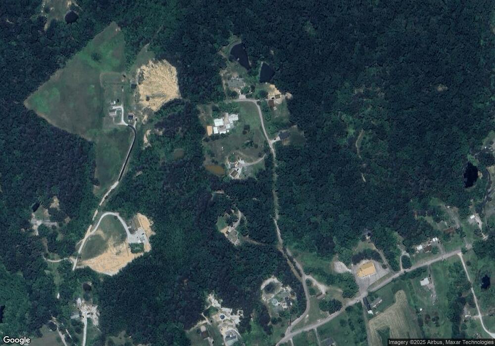
321 Millers Dr Shepherdsville, KY 40165
Estimated Value: $212,000 - $307,000
3
Beds
1
Bath
1,176
Sq Ft
$223/Sq Ft
Est. Value
About This Home
This home is located at 321 Millers Dr, Shepherdsville, KY 40165 and is currently estimated at $261,837, approximately $222 per square foot. 321 Millers Dr is a home located in Bullitt County with nearby schools including Shepherdsville Elementary School, Bullitt Lick Middle School, and Bullitt Central High School.
Ownership History
Date
Name
Owned For
Owner Type
Purchase Details
Closed on
Jan 27, 2020
Sold by
Brian Jr Kenneth H and Brian Pamela A
Bought by
Rosson Jacob E
Current Estimated Value
Home Financials for this Owner
Home Financials are based on the most recent Mortgage that was taken out on this home.
Original Mortgage
$144,848
Outstanding Balance
$128,496
Interest Rate
3.7%
Mortgage Type
New Conventional
Estimated Equity
$133,341
Create a Home Valuation Report for This Property
The Home Valuation Report is an in-depth analysis detailing your home's value as well as a comparison with similar homes in the area
Home Values in the Area
Average Home Value in this Area
Purchase History
| Date | Buyer | Sale Price | Title Company |
|---|---|---|---|
| Rosson Jacob E | $143,400 | Momentum Title |
Source: Public Records
Mortgage History
| Date | Status | Borrower | Loan Amount |
|---|---|---|---|
| Open | Rosson Jacob E | $144,848 |
Source: Public Records
Tax History Compared to Growth
Tax History
| Year | Tax Paid | Tax Assessment Tax Assessment Total Assessment is a certain percentage of the fair market value that is determined by local assessors to be the total taxable value of land and additions on the property. | Land | Improvement |
|---|---|---|---|---|
| 2024 | $2,141 | $183,400 | $0 | $183,400 |
| 2023 | $1,671 | $143,400 | $0 | $143,400 |
| 2022 | $1,688 | $143,400 | $0 | $143,400 |
| 2021 | $1,691 | $143,400 | $0 | $0 |
| 2020 | $1,180 | $101,320 | $0 | $0 |
| 2019 | $1,144 | $101,320 | $0 | $0 |
| 2018 | $1,167 | $101,320 | $0 | $0 |
| 2017 | $1,150 | $101,320 | $0 | $0 |
| 2016 | $1,130 | $101,320 | $0 | $0 |
| 2015 | $1,075 | $101,320 | $0 | $0 |
| 2014 | $1,007 | $101,320 | $0 | $0 |
Source: Public Records
Map
Nearby Homes
- 0 Raymond Rd Unit 1698136
- 569 Pitts Point Rd
- 515 Castleman Branch Rd
- 200 Shady Glen Cir
- 502 Shady Glen Cir
- 0 W Hwy 44 Tract A2 Unit 1689233
- 424 River Oaks Dr
- 219 Madison Rae Blvd
- 183 River Trace
- 0 Trappers Rd
- 166 Cross Creek Rd
- 265 Solomons Rd
- 889 Highway 44 W
- 322 Mud Hen Dr
- 466 Mud Hen Dr
- 321 Mud Hen Dr
- 282 Rising Sun Ct
- 962 W Blue Lick Rd
- 218 Howlett Dr
- 121 Mud Hen Dr
- Lot 3 Millers Dr
- 352 Millers Dr
- 420 Millers Dr
- 249 Millers Dr
- 390 Millers Dr
- 425 Millers Dr
- 440 Robert Burden Rd
- 440 Robert Burden Rd
- 2130 Raymond Rd
- 2240 Raymond Rd
- 2180 Raymond Rd
- 620 Robert Burden Rd
- 2300 Raymond Rd
- 2350 Raymond Rd
- 2074 Raymond Rd
- 2195 Raymond Rd
- 74 Mallard
- 2229 Raymond Rd
- 2044 Raymond Rd
- 2249 Raymond Rd
