Estimated Value: $556,000 - $707,850
3
Beds
1
Bath
768
Sq Ft
$819/Sq Ft
Est. Value
About This Home
This home is located at 321 Mount Hunger Shore Rd, Gray, ME 04039 and is currently estimated at $629,213, approximately $819 per square foot. 321 Mount Hunger Shore Rd is a home with nearby schools including Gray-New Gloucester High School.
Ownership History
Date
Name
Owned For
Owner Type
Purchase Details
Closed on
Dec 2, 2015
Sold by
Giovino Barbara and Giovino Joseph J
Bought by
Bartholomew Ronald and Bartholomew Diane M
Current Estimated Value
Home Financials for this Owner
Home Financials are based on the most recent Mortgage that was taken out on this home.
Original Mortgage
$228,600
Outstanding Balance
$179,554
Interest Rate
3.83%
Mortgage Type
New Conventional
Estimated Equity
$449,659
Create a Home Valuation Report for This Property
The Home Valuation Report is an in-depth analysis detailing your home's value as well as a comparison with similar homes in the area
Home Values in the Area
Average Home Value in this Area
Purchase History
| Date | Buyer | Sale Price | Title Company |
|---|---|---|---|
| Bartholomew Ronald | -- | -- | |
| Bartholomew Ronald | -- | -- |
Source: Public Records
Mortgage History
| Date | Status | Borrower | Loan Amount |
|---|---|---|---|
| Open | Bartholomew Ronald | $228,600 | |
| Closed | Bartholomew Ronald | $228,600 |
Source: Public Records
Tax History Compared to Growth
Tax History
| Year | Tax Paid | Tax Assessment Tax Assessment Total Assessment is a certain percentage of the fair market value that is determined by local assessors to be the total taxable value of land and additions on the property. | Land | Improvement |
|---|---|---|---|---|
| 2025 | $6,354 | $656,400 | $509,300 | $147,100 |
| 2024 | $6,804 | $701,400 | $554,300 | $147,100 |
| 2023 | $5,872 | $386,800 | $277,200 | $109,600 |
| 2022 | $5,396 | $386,800 | $277,200 | $109,600 |
| 2021 | $5,400 | $369,600 | $277,200 | $92,400 |
| 2020 | $5,452 | $369,600 | $277,200 | $92,400 |
| 2019 | $5,452 | $369,600 | $277,200 | $92,400 |
| 2018 | $5,174 | $369,600 | $277,200 | $92,400 |
| 2017 | $3,657 | $202,600 | $149,600 | $53,000 |
| 2016 | $3,708 | $202,600 | $149,600 | $53,000 |
| 2015 | $3,687 | $202,600 | $149,600 | $53,000 |
| 2014 | $3,687 | $202,600 | $149,600 | $53,000 |
| 2012 | $3,211 | $202,575 | $149,615 | $52,960 |
Source: Public Records
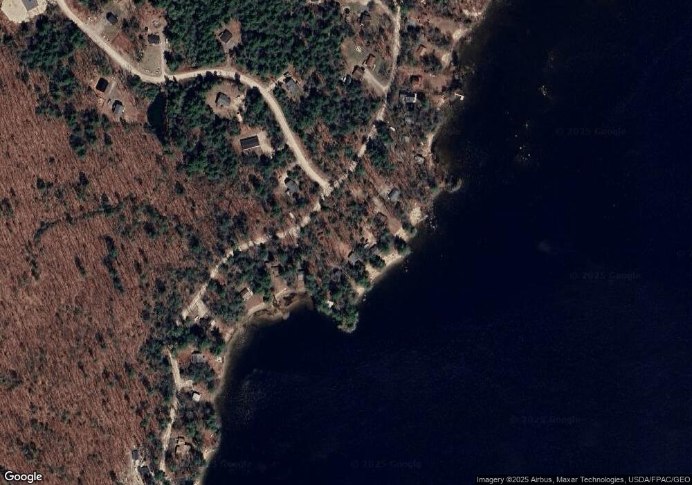
Map
Nearby Homes
- 15 Worcester Dr
- 107 Harvest Hill Rd
- 20 Bittersweet Way
- lot #8 Bedrock Terrace
- 56 Qualey Rd
- 99 Enterprise Dr
- 24 Hillside Dr
- 18 Hillside Dr
- 2 Gore Rd
- 8 Lily Ln
- 1 Pine Ln
- 1083 Roosevelt Trail
- 35 Webbs Mills Rd
- 3 Pride Ln
- 1042 Roosevelt Trail
- 16 Peterson Rd
- 36 Whites Bridge Rd Unit 8
- 80 Sky Dr
- 34 Trails End Rd
- 7 Salmon Run
- 319 Mount Hunger Shore Rd
- 325 Mount Hunger Shore Rd
- 311 Mount Hunger Shore Rd
- 309 Mount Hunger Shore Rd
- 313 Mount Hunger Shore Rd
- 331 Mount Hunger Shore Rd
- 335 Mount Hunger Shore Rd
- 303 Mount Hunger Shore Rd
- 337 Mount Hunger Shore Rd
- 12 Garrison Woods Dr
- 338 Mount Hunger Shore Rd
- 344 Mt Hunger Shore Rd
- 339 Mount Hunger Shore Rd
- 340 Mount Hunger Shore Rd
- 344 Mount Hunger Shore Rd
- 336 Mount Hunger Shore Rd
- 355 Mount Hunger Shore Rd
- 348 Mount Hunger Shore Rd
- 333 Mount Hunger Shore Rd
- 352 Mount Hunger Shore Rd