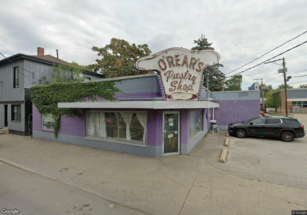
321 N 9th St Lafayette, IN 47904
Historic Jefferson Neighborhood
--
Bed
--
Bath
4,034
Sq Ft
3,049
Sq Ft Lot
About This Home
This home is located at 321 N 9th St, Lafayette, IN 47904. 321 N 9th St is a home located in Tippecanoe County with nearby schools including Murdock Elementary School, Sunnyside Intermediate School, and Lafayette Tecumseh Junior High School.
Ownership History
Date
Name
Owned For
Owner Type
Purchase Details
Closed on
Aug 19, 2025
Sold by
Marjorie Lintner Living Trust and Lintner Judith A
Bought by
White Door Management Llc
Purchase Details
Closed on
Oct 19, 2011
Sold by
Lintner Marjorie J and Lintner Marjorie F
Bought by
Lintner Marjorie and The Marjorie Lintner Living Trust
Purchase Details
Closed on
Apr 13, 2005
Sold by
Caron Jonathon and Caron Rebecca
Bought by
Lintner Daryl M and Lintner Marjorie J
Home Financials for this Owner
Home Financials are based on the most recent Mortgage that was taken out on this home.
Original Mortgage
$64,000
Interest Rate
5.89%
Mortgage Type
Commercial
Create a Home Valuation Report for This Property
The Home Valuation Report is an in-depth analysis detailing your home's value as well as a comparison with similar homes in the area
Home Values in the Area
Average Home Value in this Area
Purchase History
| Date | Buyer | Sale Price | Title Company |
|---|---|---|---|
| White Door Management Llc | -- | None Listed On Document | |
| Lintner Marjorie | -- | None Available | |
| Lintner Daryl M | -- | -- |
Source: Public Records
Mortgage History
| Date | Status | Borrower | Loan Amount |
|---|---|---|---|
| Previous Owner | Lintner Daryl M | $64,000 |
Source: Public Records
Tax History Compared to Growth
Tax History
| Year | Tax Paid | Tax Assessment Tax Assessment Total Assessment is a certain percentage of the fair market value that is determined by local assessors to be the total taxable value of land and additions on the property. | Land | Improvement |
|---|---|---|---|---|
| 2024 | $10,778 | $150,800 | -- | $150,800 |
| 2023 | $3,477 | $146,400 | $0 | $146,400 |
| 2022 | $3,692 | $143,600 | $0 | $143,600 |
| 2021 | $3,734 | $140,100 | $0 | $140,100 |
| 2020 | $3,708 | $139,500 | $0 | $139,500 |
| 2019 | $3,611 | $136,100 | $0 | $136,100 |
| 2018 | $3,526 | $132,500 | $0 | $132,500 |
| 2017 | $3,315 | $128,000 | $0 | $128,000 |
| 2016 | $3,238 | $127,400 | $0 | $127,400 |
| 2014 | $3,087 | $121,200 | $0 | $121,200 |
| 2013 | $2,992 | $118,800 | $0 | $118,800 |
Source: Public Records
Map
Nearby Homes
- 905 North St
- 325 N 9th St
- 911 North St
- 915 North St
- 917 North St
- 900 North St
- 402 S 9th St
- 906 North St Unit 8
- 912 North St
- 916 North St
- 309 N 9th St
- 914 North St
- 400 N 9th St Unit George Of The Jungle
- 400 N 9th St Unit Big Time Betty
- 1005 North St
- 307 N 10th St
- 861 Farrie Place (Lot 74)
- 412 N 9th St
- 833 Ferry St
- 1007 North St