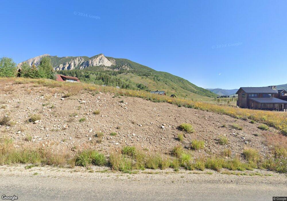
321 N Avion Dr Crested Butte, CO 81224
Estimated Value: $287,484 - $620,000
--
Bed
--
Bath
--
Sq Ft
1.02
Acres
About This Home
This home is located at 321 N Avion Dr, Crested Butte, CO 81224 and is currently estimated at $453,742. 321 N Avion Dr is a home located in Gunnison County with nearby schools including Gunnison Elementary School, Crested Butte Community School, and Gunnison Middle School.
Ownership History
Date
Name
Owned For
Owner Type
Purchase Details
Closed on
Feb 3, 2020
Sold by
Scarpa Eric Michael and Scarpa Anne M
Bought by
E Michael Scarpa Revocable Trust
Current Estimated Value
Purchase Details
Closed on
Sep 27, 2019
Sold by
The Robert J Silverman Living Trust
Bought by
Scarpa Eric Michael and Scarpa Anne M
Purchase Details
Closed on
Oct 3, 2013
Sold by
Lachance Paul Gerard and Lachance Sarah K
Bought by
The Robert J Silverman Living Trust
Purchase Details
Closed on
Jun 14, 2001
Sold by
Brush Creek Airport Llc
Bought by
Scales Courtney R
Create a Home Valuation Report for This Property
The Home Valuation Report is an in-depth analysis detailing your home's value as well as a comparison with similar homes in the area
Home Values in the Area
Average Home Value in this Area
Purchase History
| Date | Buyer | Sale Price | Title Company |
|---|---|---|---|
| E Michael Scarpa Revocable Trust | -- | None Available | |
| Scarpa Eric Michael | $200,000 | Land Title Guarantee Company | |
| The Robert J Silverman Living Trust | $80,000 | Stewart Title | |
| Scales Courtney R | $99,000 | -- |
Source: Public Records
Tax History Compared to Growth
Tax History
| Year | Tax Paid | Tax Assessment Tax Assessment Total Assessment is a certain percentage of the fair market value that is determined by local assessors to be the total taxable value of land and additions on the property. | Land | Improvement |
|---|---|---|---|---|
| 2024 | $7,895 | $127,970 | $127,970 | $0 |
| 2023 | $7,895 | $127,970 | $127,970 | $0 |
| 2022 | $2,955 | $42,300 | $42,300 | $0 |
| 2021 | $2,558 | $42,300 | $42,300 | $0 |
| 2020 | $1,954 | $32,660 | $32,660 | $0 |
| 2019 | $1,916 | $32,660 | $32,660 | $0 |
| 2018 | $2,345 | $38,280 | $38,280 | $0 |
| 2017 | $2,368 | $38,280 | $38,280 | $0 |
| 2016 | $1,858 | $31,900 | $31,900 | $0 |
| 2015 | $1,070 | $31,900 | $31,900 | $0 |
| 2014 | $1,070 | $35,280 | $35,280 | $0 |
Source: Public Records
Map
Nearby Homes
- 14 Buckhorn Way
- 103 Buckhorn Way
- 64 Buckhorn Way
- 42 Earhart Ln
- 204 N Avion Dr
- 527 S Avion Dr
- 509 N Avion Dr
- 163 N Avion Dr
- 333 S Avion Dr
- 379 S Avion Dr
- 255 S Avion Dr
- 679 S Avion Dr
- 231 S Avion Dr
- 49 White Stallion Cir
- 554 White Stallion Cir
- 196 Lake Ridge Dr
- 84 Chestnut Ln
- 97 Chestnut Ln
- 441 White Stallion Cir
- 44 County Road 738a Brush Creek Rd
- 15 Buckhorn Way
- 329 N Avion Dr
- 15 Buckhorn Way
- 33 Buckhorn Way
- 324 N Avion Dr Unit Lot 74 Avion Club at
- 53 Buckhorn Way
- 335 N Avion Dr
- 69 Buckhorn Way
- N Avion Dr
- N Avion Dr Unit Lot 10, Buckhorn
- N Avion Dr Unit Lot 74 Avion Club at
- 87 Buckhorn Way
- 312 N Avion Dr
- 312 N Avion Rd
- 52 Buckhorn Way
- 292 N Avion Dr
- 36 Buckhorn Way
- 368 N Avion Dr
- 42 Buckhorn Way
- 42 Buckhorn Way Unit Lot 14 Filing 2A