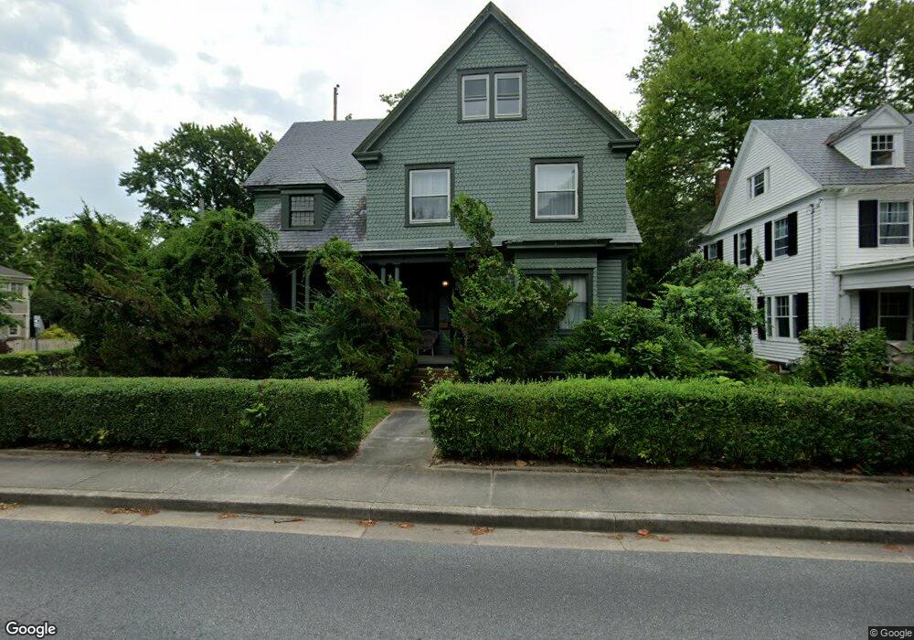
321 N Division St Salisbury, MD 21801
Newtown-North Division NeighborhoodEstimated Value: $343,104 - $396,000
Studio
2
Baths
3,094
Sq Ft
$123/Sq Ft
Est. Value
About This Home
This home is located at 321 N Division St, Salisbury, MD 21801 and is currently estimated at $380,776, approximately $123 per square foot. 321 N Division St is a home located in Wicomico County with nearby schools including West Salisbury Elementary School, North Salisbury Elementary School, and Salisbury Middle School.
Ownership History
Date
Name
Owned For
Owner Type
Purchase Details
Closed on
Dec 5, 2024
Sold by
Brannock Randall P and Brannock Linda L
Bought by
Brannock Randall P and Brannock Linda L
Current Estimated Value
Purchase Details
Closed on
May 11, 1994
Sold by
Stump Eleanor L
Bought by
Brannock Randall P and Brannock Linda L
Create a Home Valuation Report for This Property
The Home Valuation Report is an in-depth analysis detailing your home's value as well as a comparison with similar homes in the area
Home Values in the Area
Average Home Value in this Area
Purchase History
| Date | Buyer | Sale Price | Title Company |
|---|---|---|---|
| Brannock Randall P | -- | None Listed On Document | |
| Brannock Randall P | -- | None Listed On Document | |
| Brannock Randall P | $99,000 | -- |
Source: Public Records
Tax History
| Year | Tax Paid | Tax Assessment Tax Assessment Total Assessment is a certain percentage of the fair market value that is determined by local assessors to be the total taxable value of land and additions on the property. | Land | Improvement |
|---|---|---|---|---|
| 2025 | $2,475 | $270,800 | $0 | $0 |
| 2024 | $2,269 | $236,600 | $21,200 | $215,400 |
| 2023 | $2,044 | $206,767 | $0 | $0 |
| 2022 | $1,582 | $176,933 | $0 | $0 |
| 2021 | $1,517 | $147,100 | $21,200 | $125,900 |
| 2020 | $1,517 | $147,100 | $21,200 | $125,900 |
| 2019 | $1,540 | $147,100 | $21,200 | $125,900 |
| 2018 | $2,410 | $150,800 | $21,200 | $129,600 |
| 2017 | $2,404 | $150,267 | $0 | $0 |
| 2016 | -- | $149,733 | $0 | $0 |
| 2015 | $2,458 | $149,200 | $0 | $0 |
| 2014 | $2,458 | $149,200 | $0 | $0 |
Source: Public Records
Map
Nearby Homes
- 309 Gay St
- 304 Poplar Hill Ave
- LOT D4 International Dr
- 208 W Isabella St
- 611 Lakeside Dr
- 410 Elizabeth St
- 810 N Division St
- 411 Elizabeth St
- 403 Rose St
- 618 Baker St
- 701 Lake St Unit 1
- 711 E Church St
- 609 Germania Cir
- 616 1 W Main St
- 317 Delaware Ave
- 322 Naylor St
- 530 Riverside Dr Unit 405
- 530 Riverside Dr Unit 202
- 902 Lake St
- 405 Newton Terrace
- 319 N Division St
- 325 N Division St Unit 4
- 325 N Division St
- 315 N Division St
- 107 Parsons St
- 322 N Division St
- 324 N Division St
- 109 Parsons St
- 326 N Division St
- 100 E William St Unit 1
- 108 Parsons St
- 106 Parsons St
- 313 N Division St
- 109 Walnut St
- 328 N Division St
- 110 Parsons St
- 309 Lester Ct
- 106 E William St
- 309 and 311 Lester Ct
- 316 N Division St
Your Personal Tour Guide
Ask me questions while you tour the home.