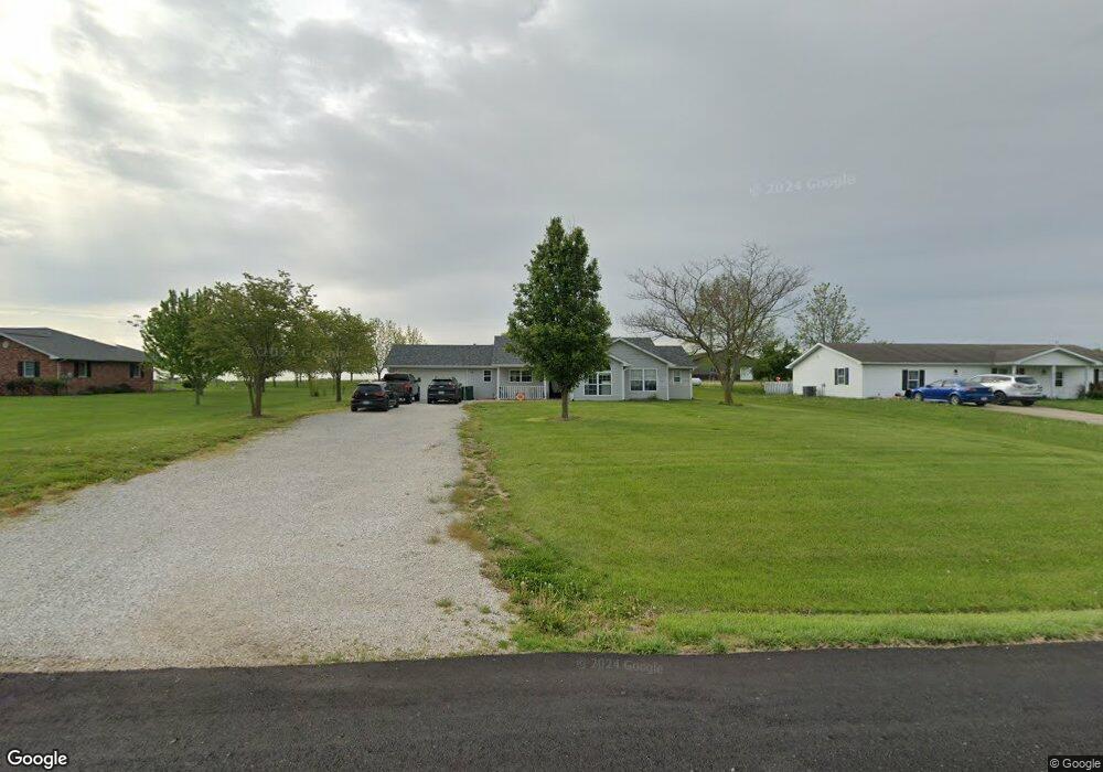
321 N Mill St Jamestown, MO 65046
Estimated Value: $184,458 - $293,000
3
Beds
2
Baths
1,300
Sq Ft
$169/Sq Ft
Est. Value
About This Home
This home is located at 321 N Mill St, Jamestown, MO 65046 and is currently estimated at $219,115, approximately $168 per square foot. 321 N Mill St is a home located in Moniteau County with nearby schools including Jamestown C-I Elementary School and Jamestown C-1 High School.
Ownership History
Date
Name
Owned For
Owner Type
Purchase Details
Closed on
May 12, 2021
Sold by
Dowell Tyler A
Bought by
Maslan Austin R
Current Estimated Value
Home Financials for this Owner
Home Financials are based on the most recent Mortgage that was taken out on this home.
Original Mortgage
$164,646
Outstanding Balance
$148,333
Interest Rate
3%
Mortgage Type
New Conventional
Estimated Equity
$70,782
Purchase Details
Closed on
Aug 23, 2019
Sold by
Hees Cale and Hees Nicole
Bought by
Dowell Tyler A
Home Financials for this Owner
Home Financials are based on the most recent Mortgage that was taken out on this home.
Original Mortgage
$104,500
Interest Rate
3.7%
Mortgage Type
New Conventional
Purchase Details
Closed on
Aug 3, 2017
Sold by
Borts Larry Wayne and Borts Barbara Susan
Bought by
Hees Cale and Hees Nicole
Create a Home Valuation Report for This Property
The Home Valuation Report is an in-depth analysis detailing your home's value as well as a comparison with similar homes in the area
Purchase History
| Date | Buyer | Sale Price | Title Company |
|---|---|---|---|
| Maslan Austin R | -- | None Available | |
| Dowell Tyler A | -- | None Available | |
| Hees Cale | -- | None Available |
Source: Public Records
Mortgage History
| Date | Status | Borrower | Loan Amount |
|---|---|---|---|
| Open | Maslan Austin R | $164,646 | |
| Previous Owner | Dowell Tyler A | $104,500 |
Source: Public Records
Tax History
| Year | Tax Paid | Tax Assessment Tax Assessment Total Assessment is a certain percentage of the fair market value that is determined by local assessors to be the total taxable value of land and additions on the property. | Land | Improvement |
|---|---|---|---|---|
| 2025 | $1,324 | $19,110 | $0 | $0 |
| 2024 | $1,287 | $19,110 | $0 | $0 |
| 2023 | $9,828 | $19,110 | $0 | $0 |
| 2022 | $1,289 | $19,110 | $0 | $0 |
| 2021 | $9,516 | $18,730 | $0 | $0 |
| 2020 | $1,266 | $18,490 | $0 | $0 |
| 2019 | $1,255 | $18,490 | $0 | $0 |
| 2018 | $1,244 | $18,490 | $0 | $0 |
| 2017 | $1,233 | $15,350 | $800 | $14,550 |
| 2016 | $1,226 | $18,490 | $0 | $0 |
| 2011 | -- | $18,490 | $0 | $0 |
Source: Public Records
Map
Nearby Homes
- 209 Highway 87
- 13 ACRES Happy Hollow Rd
- 0 Elliott School Rd
- TRACT #3 Cedron Rd
- TRACT #2 Cedron Rd
- TRACT #1 Cedron Rd
- 1740 W River Bluff Ct
- TRACT 8 W River Bluff Ct
- TRACT 7 W River Bluff Ct
- TRACT 6 W River Bluff Ct
- TRACT 3A Winding River Rd
- 737 Sells Ct
- 480 High St
- 11970 South Route N
- 9600 S Smith Hatchery Rd
- 101 Carey St
- TRACT 4 S Smith Hatchery Rd
- LOT 102 S Warren School Rd
- 0 S Warren School Rd Unit 432446
- 57357 Quentin Dr
Your Personal Tour Guide
Ask me questions while you tour the home.