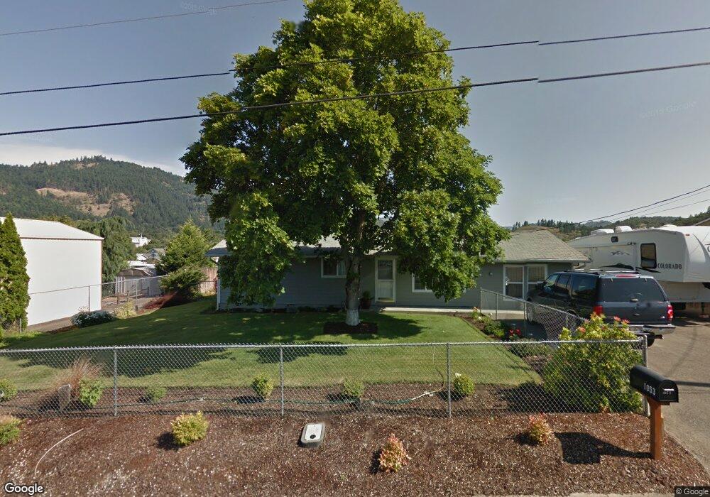
321 NE Neal Ln Myrtle Creek, OR 97457
Estimated Value: $291,283 - $312,000
3
Beds
2
Baths
1,200
Sq Ft
$250/Sq Ft
Est. Value
About This Home
This home is located at 321 NE Neal Ln, Myrtle Creek, OR 97457 and is currently estimated at $300,571, approximately $250 per square foot. 321 NE Neal Ln is a home located in Douglas County with nearby schools including South Umpqua High School.
Ownership History
Date
Name
Owned For
Owner Type
Purchase Details
Closed on
Aug 25, 2015
Sold by
Theiss Roland and Theiss Margaret
Bought by
Paselk Jessica L
Current Estimated Value
Home Financials for this Owner
Home Financials are based on the most recent Mortgage that was taken out on this home.
Original Mortgage
$134,900
Outstanding Balance
$106,459
Interest Rate
4.05%
Mortgage Type
VA
Estimated Equity
$194,112
Purchase Details
Closed on
Feb 3, 2014
Sold by
Michael James David
Bought by
Theiss Roland and Theiss Margaret
Create a Home Valuation Report for This Property
The Home Valuation Report is an in-depth analysis detailing your home's value as well as a comparison with similar homes in the area
Home Values in the Area
Average Home Value in this Area
Purchase History
| Date | Buyer | Sale Price | Title Company |
|---|---|---|---|
| Paselk Jessica L | $134,900 | Amerititle | |
| Theiss Roland | $50,000 | Amerititle |
Source: Public Records
Mortgage History
| Date | Status | Borrower | Loan Amount |
|---|---|---|---|
| Open | Paselk Jessica L | $134,900 |
Source: Public Records
Tax History Compared to Growth
Tax History
| Year | Tax Paid | Tax Assessment Tax Assessment Total Assessment is a certain percentage of the fair market value that is determined by local assessors to be the total taxable value of land and additions on the property. | Land | Improvement |
|---|---|---|---|---|
| 2024 | $1,992 | $148,931 | -- | -- |
| 2023 | $1,934 | $144,594 | $0 | $0 |
| 2022 | $1,878 | $140,383 | $0 | $0 |
| 2021 | $1,823 | $136,295 | $0 | $0 |
| 2020 | $1,770 | $132,326 | $0 | $0 |
| 2019 | $1,718 | $128,472 | $0 | $0 |
| 2018 | $1,668 | $124,731 | $0 | $0 |
| 2017 | $1,620 | $121,099 | $0 | $0 |
| 2016 | $1,573 | $117,572 | $0 | $0 |
| 2015 | $1,399 | $106,710 | $0 | $0 |
| 2014 | $1,183 | $90,591 | $0 | $0 |
| 2013 | -- | $87,953 | $0 | $0 |
Source: Public Records
Map
Nearby Homes
- 961 NE Broadway St
- 195 NE Sandy Terrace
- 231 Chestnut St
- 0 NE Simpson Ln Unit 734646510
- 1357 NE Ballard Ct
- 910 NE Leon Ave
- 629 NE Johnson St
- 650 SE Riverside Dr
- 455 Woody Ct
- 1682 Riverside Dr
- 1682 NE Riverside Dr
- 407 NE Waite St
- 769 NE Christian St
- 119 Forest Rd
- 186 NE Division St
- 206 NE Laurel Ave
- 1056 NE Orchard Dr
- 217 SE Mill St
- 1770 N Myrtle Rd
- 195 SE Mill St
- 341 NE Neal Ln
- 303 NE Neal Ln
- 1053 NE Simpson Ln
- 411 NE Neal Ln
- 269 NE Neal Ln
- 1065 NE Simpson Ln
- 988 NE Johnson St
- 993 NE Broadway St
- 999 NE Broadway St
- 1095 NE Simpson Ln
- 425 NE Neal Ln
- 0 NE Neal Ln
- 985 NE Johnson St
- 990 NE Broadway St
- 974 NE Johnson St
- 222 Darcie Way
- 977 NE Broadway St
- 433 NE Neal Ln
- 426 NE Neal Ln
- 978 NE Broadway St