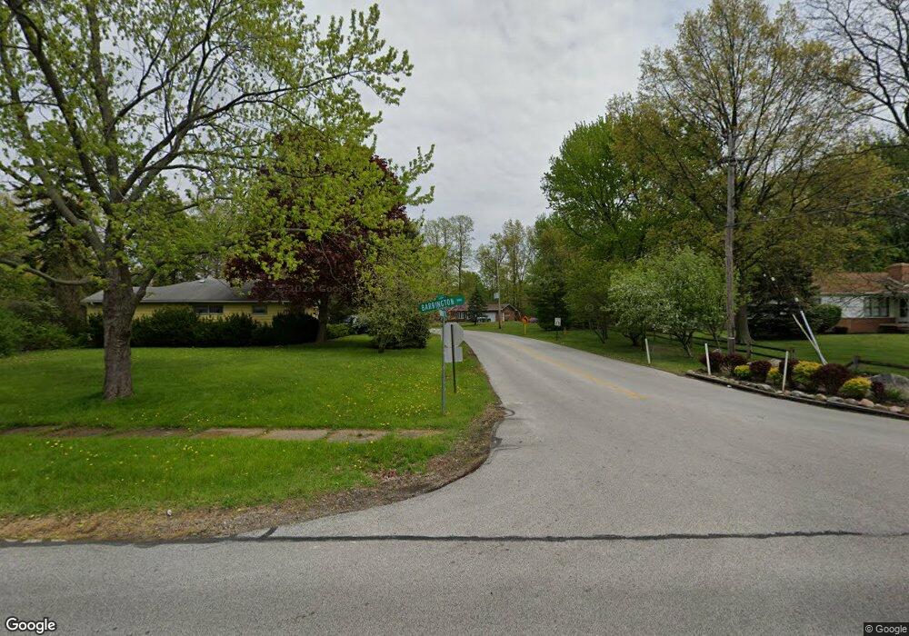
321 Normandy Dr Painesville, OH 44077
Estimated Value: $246,000 - $264,348
2
Beds
2
Baths
1,852
Sq Ft
$137/Sq Ft
Est. Value
About This Home
This home is located at 321 Normandy Dr, Painesville, OH 44077 and is currently estimated at $254,587, approximately $137 per square foot. 321 Normandy Dr is a home located in Lake County with nearby schools including Henry F. Lamuth Middle School, Riverside Junior/Senior High School, and Hershey Montessori Elementary School.
Ownership History
Date
Name
Owned For
Owner Type
Purchase Details
Closed on
Nov 8, 2006
Sold by
Kristoff Kathleen B and Baer Kristoff Kathleen M
Bought by
Kristoff Stephen William and Baer Kristoff Kathleen M
Current Estimated Value
Home Financials for this Owner
Home Financials are based on the most recent Mortgage that was taken out on this home.
Original Mortgage
$117,000
Interest Rate
7.1%
Mortgage Type
Purchase Money Mortgage
Create a Home Valuation Report for This Property
The Home Valuation Report is an in-depth analysis detailing your home's value as well as a comparison with similar homes in the area
Home Values in the Area
Average Home Value in this Area
Purchase History
| Date | Buyer | Sale Price | Title Company |
|---|---|---|---|
| Kristoff Stephen William | -- | Attorney |
Source: Public Records
Mortgage History
| Date | Status | Borrower | Loan Amount |
|---|---|---|---|
| Closed | Kristoff Stephen William | $117,000 |
Source: Public Records
Tax History Compared to Growth
Tax History
| Year | Tax Paid | Tax Assessment Tax Assessment Total Assessment is a certain percentage of the fair market value that is determined by local assessors to be the total taxable value of land and additions on the property. | Land | Improvement |
|---|---|---|---|---|
| 2024 | -- | $82,060 | $18,640 | $63,420 |
| 2023 | $6,375 | $58,500 | $16,190 | $42,310 |
| 2022 | $2,942 | $58,500 | $16,190 | $42,310 |
| 2021 | $2,952 | $58,500 | $16,190 | $42,310 |
| 2020 | $2,565 | $46,800 | $12,950 | $33,850 |
| 2019 | $2,585 | $46,800 | $12,950 | $33,850 |
| 2018 | $2,593 | $48,650 | $15,810 | $32,840 |
| 2017 | $2,795 | $48,650 | $15,810 | $32,840 |
| 2016 | $2,464 | $48,650 | $15,810 | $32,840 |
| 2015 | $2,284 | $48,650 | $15,810 | $32,840 |
| 2014 | $2,322 | $48,650 | $15,810 | $32,840 |
| 2013 | $2,269 | $48,650 | $15,810 | $32,840 |
Source: Public Records
Map
Nearby Homes
- 26 Middleton Dr
- 6624 Belvoir Ct
- 21 Middleton Dr
- 6677 Stratford Rd
- 1651 Mentor Ave Unit 2008
- 1651 Mentor Ave Unit 2804
- 1651 Mentor Ave Unit 912
- 1651 Mentor Ave Unit 1706
- 1651 Mentor Ave Unit 106
- 339 Barrington Ridge Rd
- 81 Fairfield Rd
- 31 Fairfield Rd
- 336 Fairgrounds Rd
- 6533 Coleridge Rd
- 2051 Kingsborough Dr
- 10393 Revere Ct
- 6769 Melridge Dr
- 135 Nantucket Cir
- 1936 Mentor Ave
- 110 Hampshire Cove Unit 110
- 10277 Cherry Hill Dr
- 305 Coventry Dr
- 306 Normandy Dr
- 350 Normandy Dr
- 297 Coventry Dr
- 10275 Cherry Hill Dr
- 221 Barrington Ridge Rd
- 10268 Cherry Hill Dr
- 289 Coventry Dr
- 296 Normandy Dr
- 295 Stratford Rd
- 281 Coventry Dr
- 285 Stratford Rd
- 10273 Cherry Hill Dr
- 10266 Cherry Hill Dr
- 239 Barrington Ridge Rd
- 306 Coventry Dr
- 6575 Stratford Rd
- 275 Coventry Dr
- 300 Coventry Dr
